Completion of our voyage: Passage back to Rhode Island

Our son Ben surprises us by showing up at the dock to take our lines at the completion of our passage

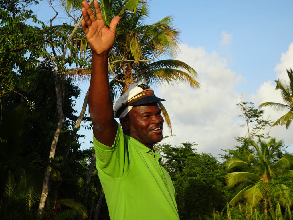
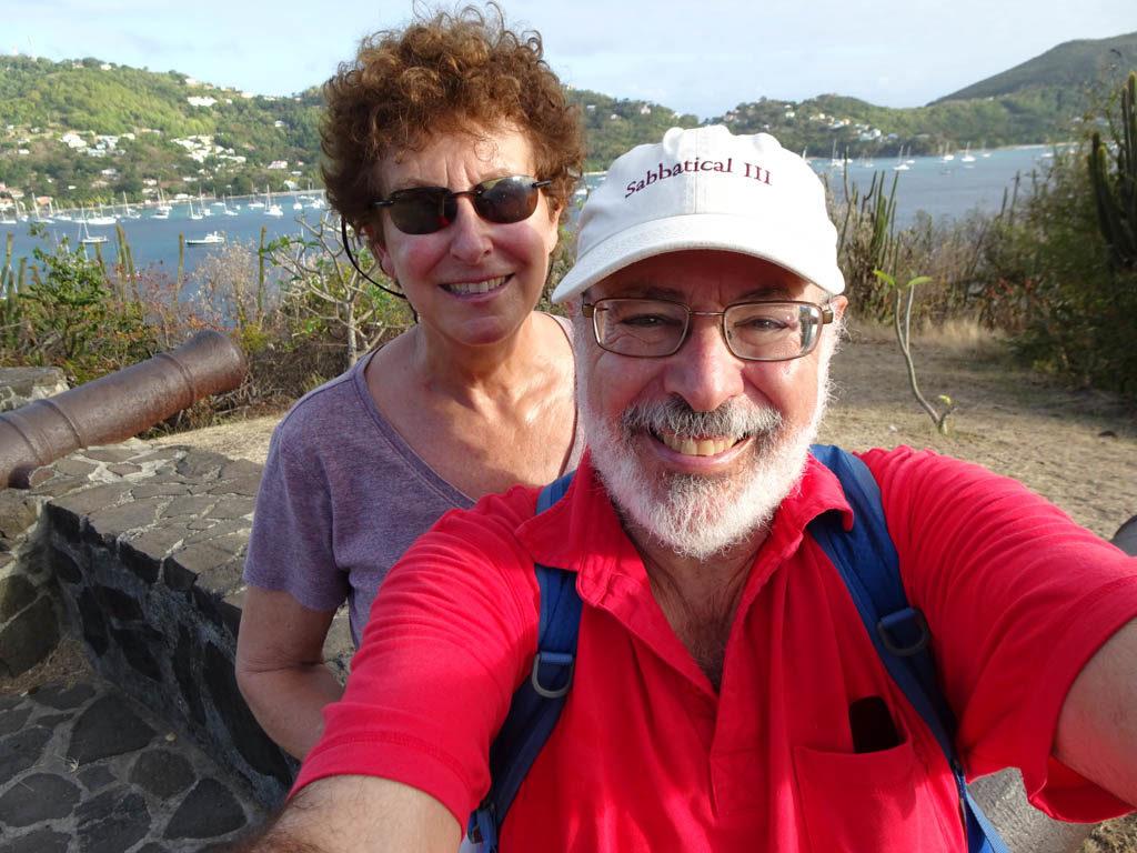
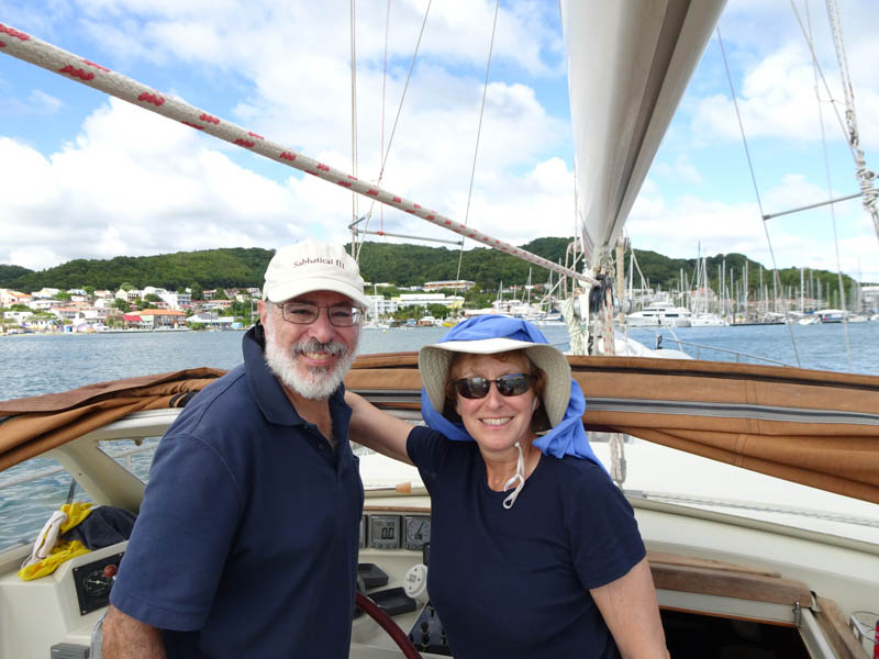
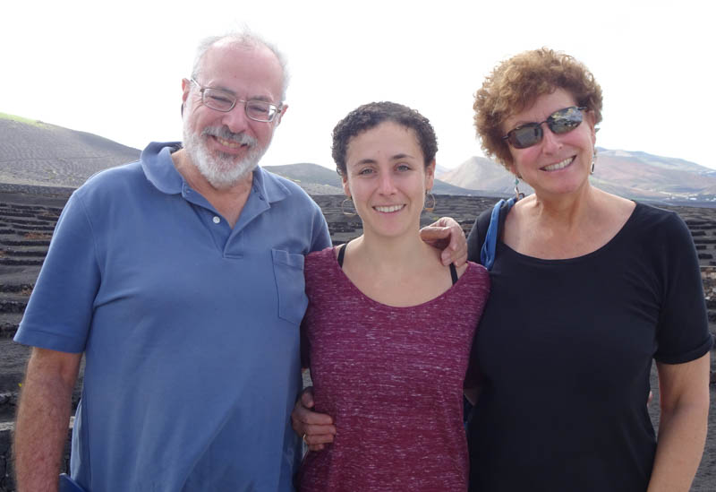
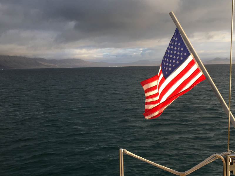
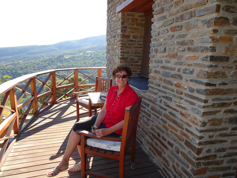
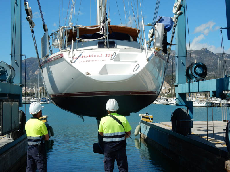
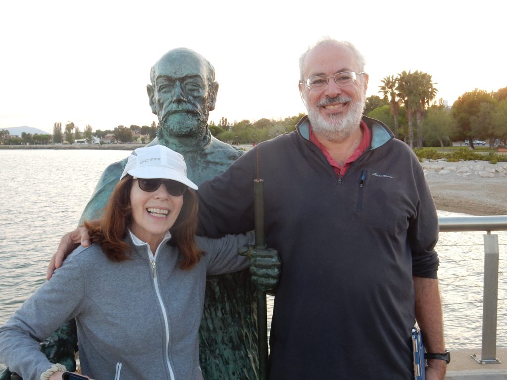
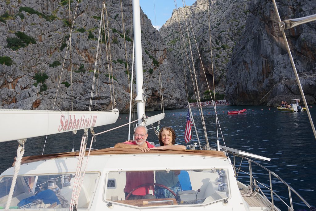
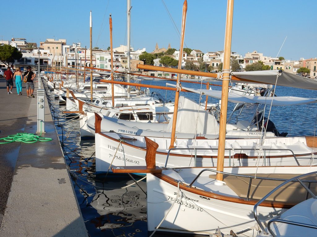
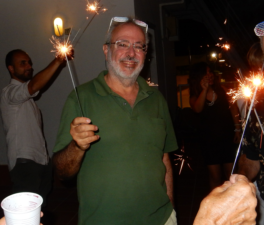
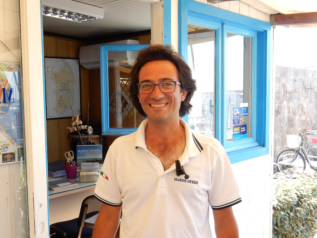
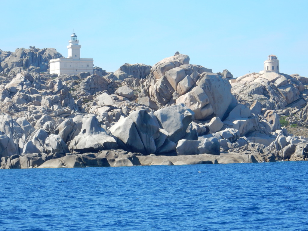
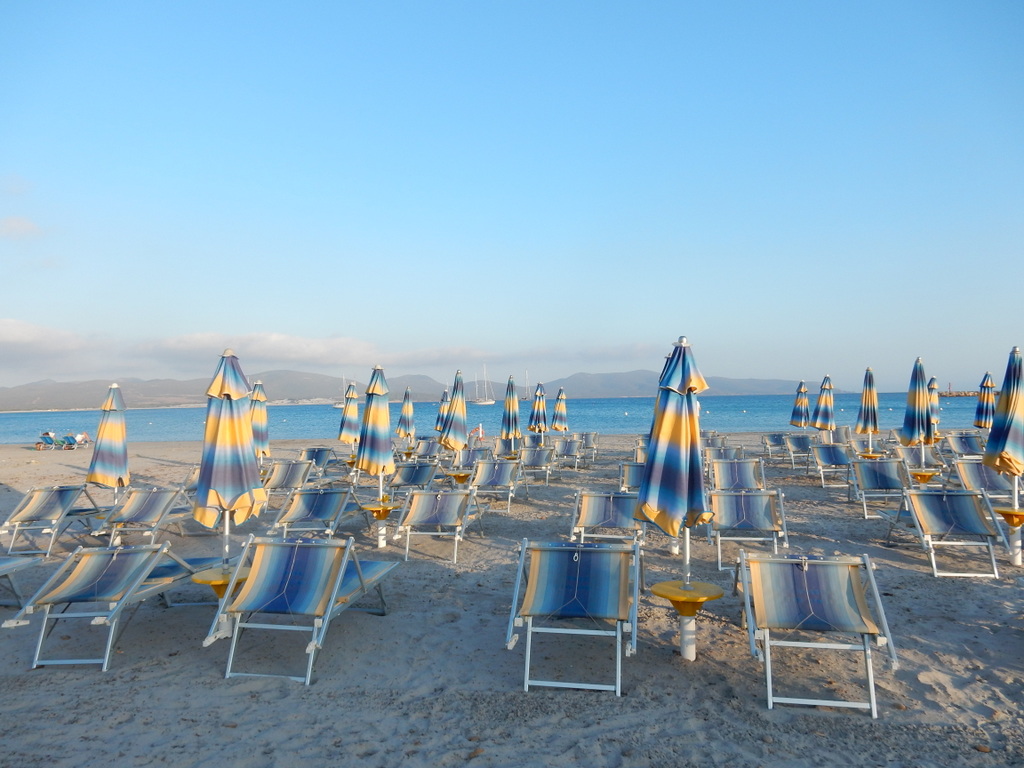
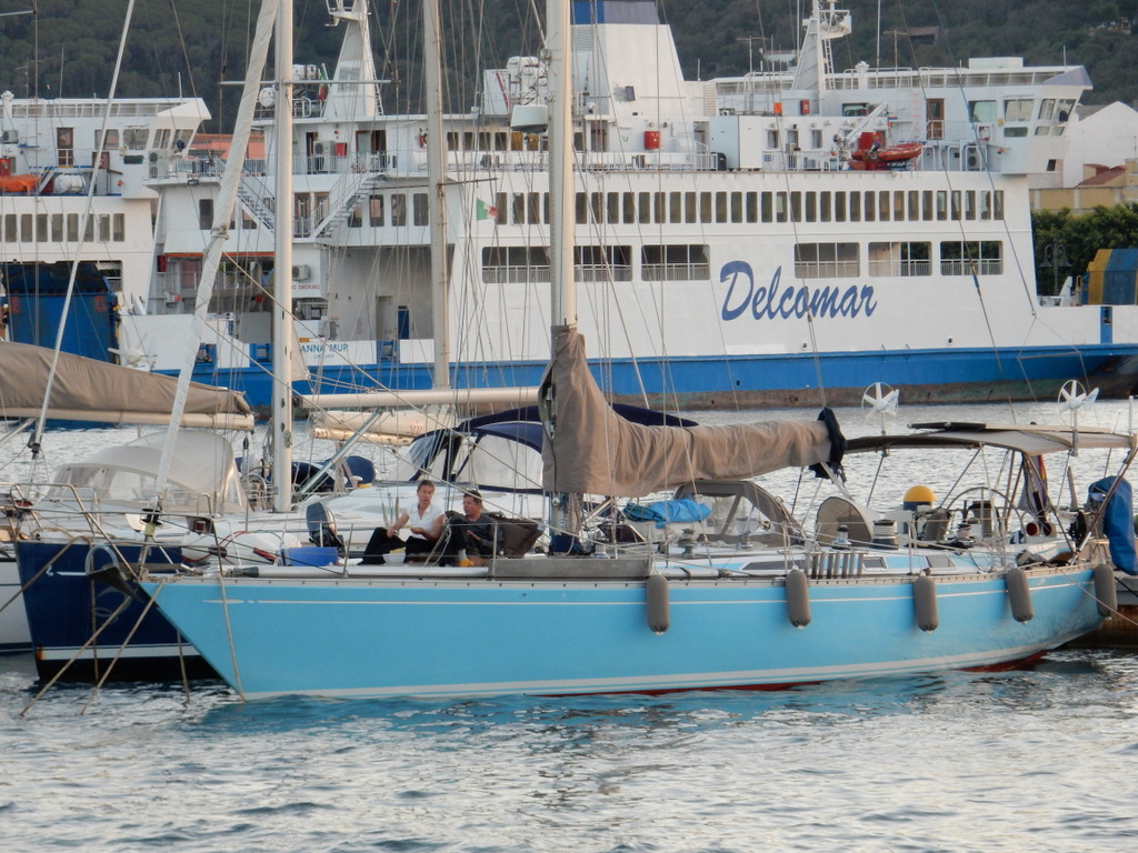
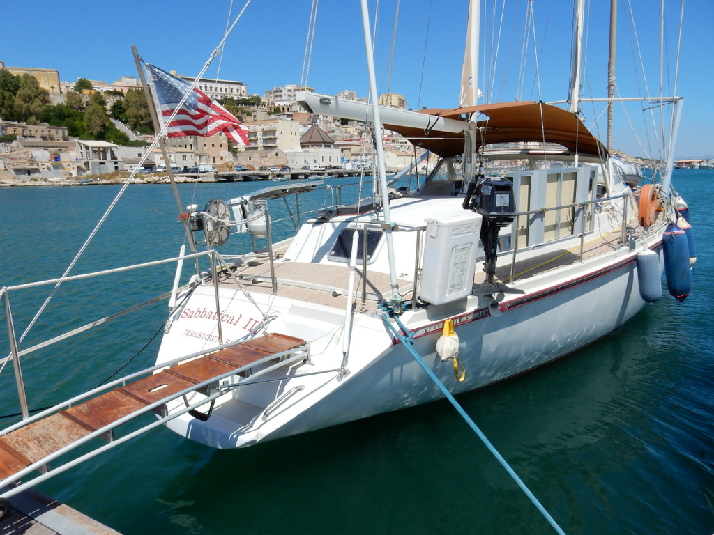
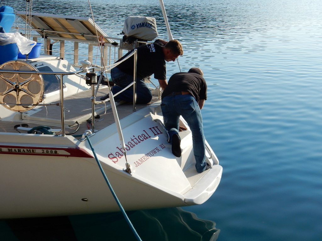
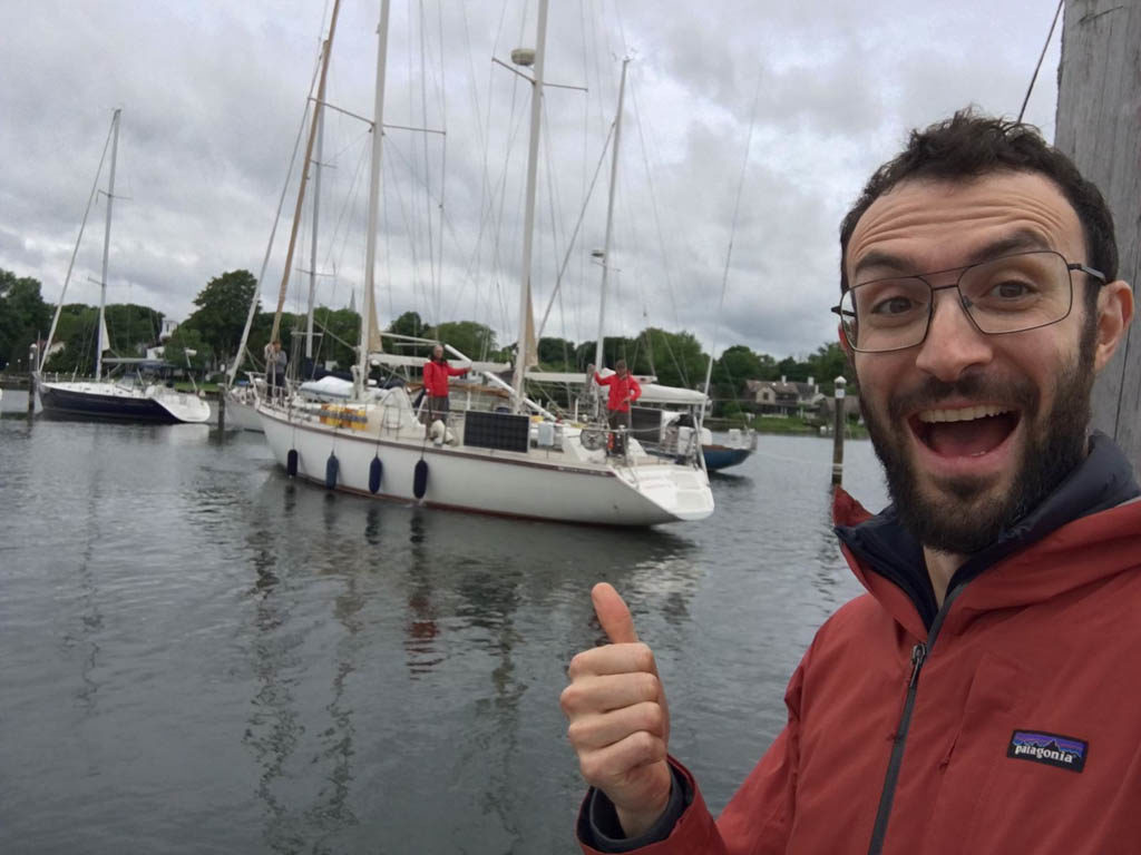
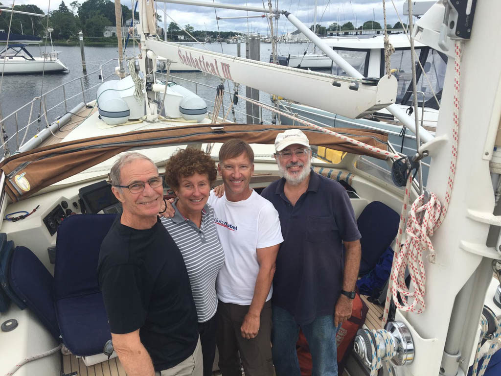
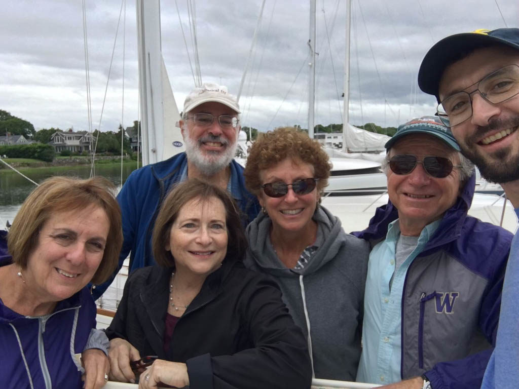
We are back in Rhode Island 12 and a half years after departing on our circumnavigation. We dropped anchor outside of Bissel Cove in dense fog at around 2 am on June 21st after a 10 and one-half day passage from Sint Maarten. After a quick bite to eat, the crew of Sabbatical III slept for a few hours and in the morning motored the 2 miles to the Wickford Cove Marina. Laura knew that our son Ben would be waiting at the dock at 9 am but they conspired to make it a surprise. As we approached the “A” dock in the narrow channel, I saw a guy waving vigorously. I presumed he was a marina employee indicating which berth I was to dock in. It wasn’t until I was right up to the berth that I saw that it was Ben. What a wonderful surprise.

Passage from Sint Maarten

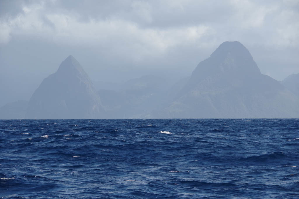
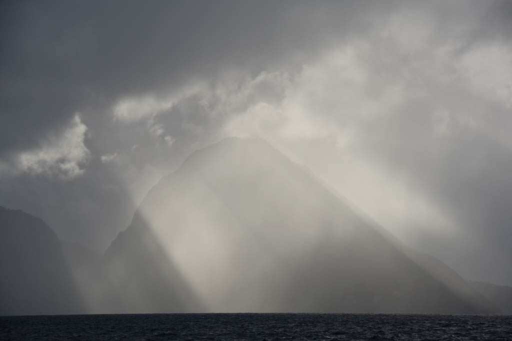
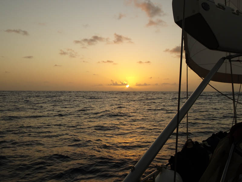
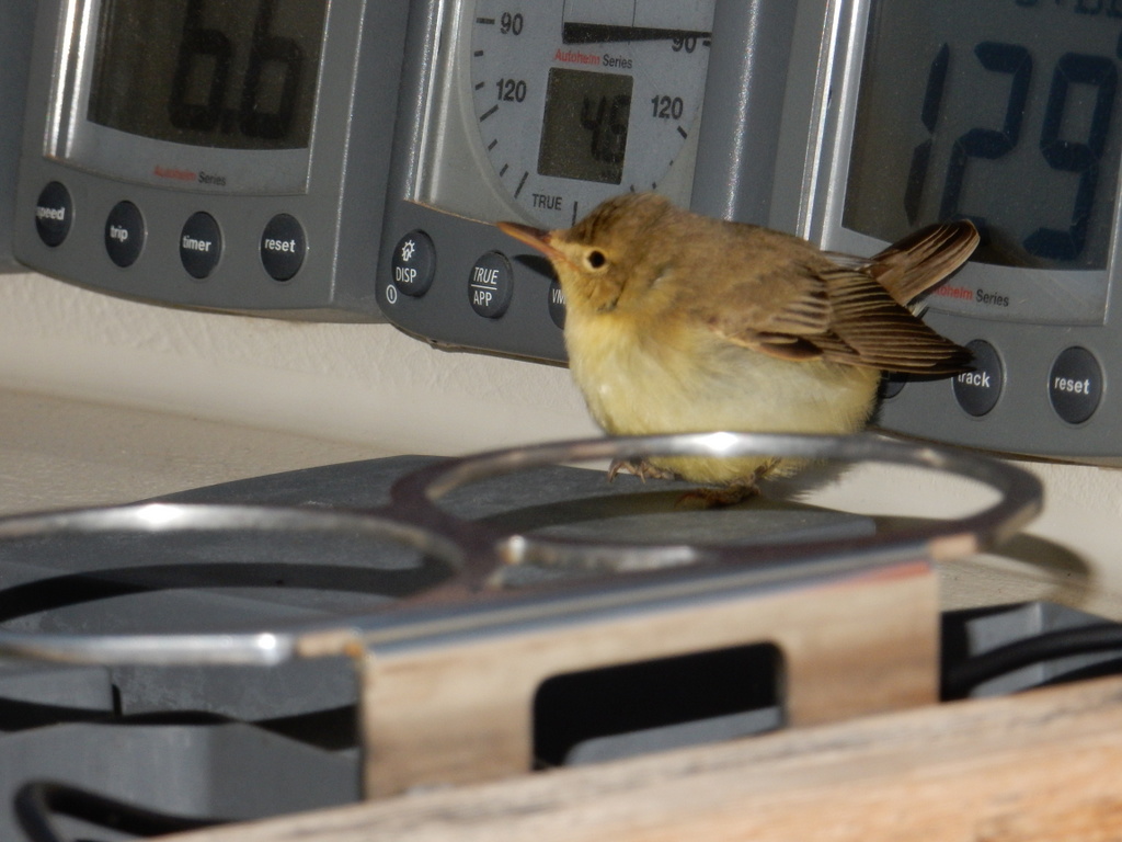
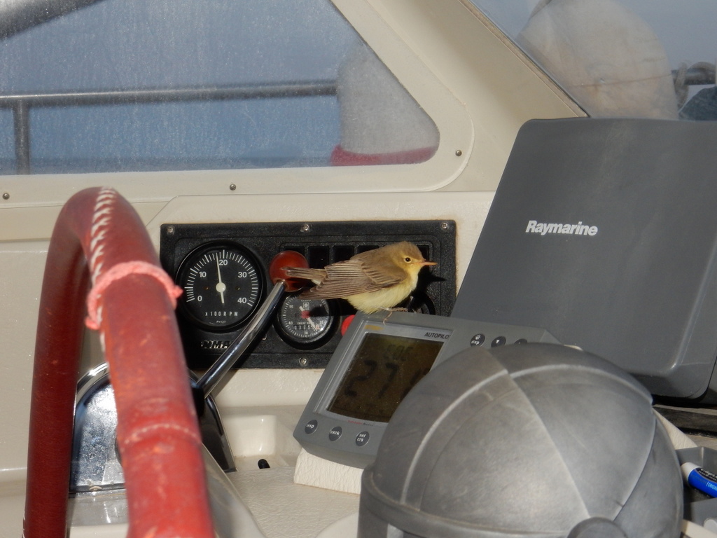
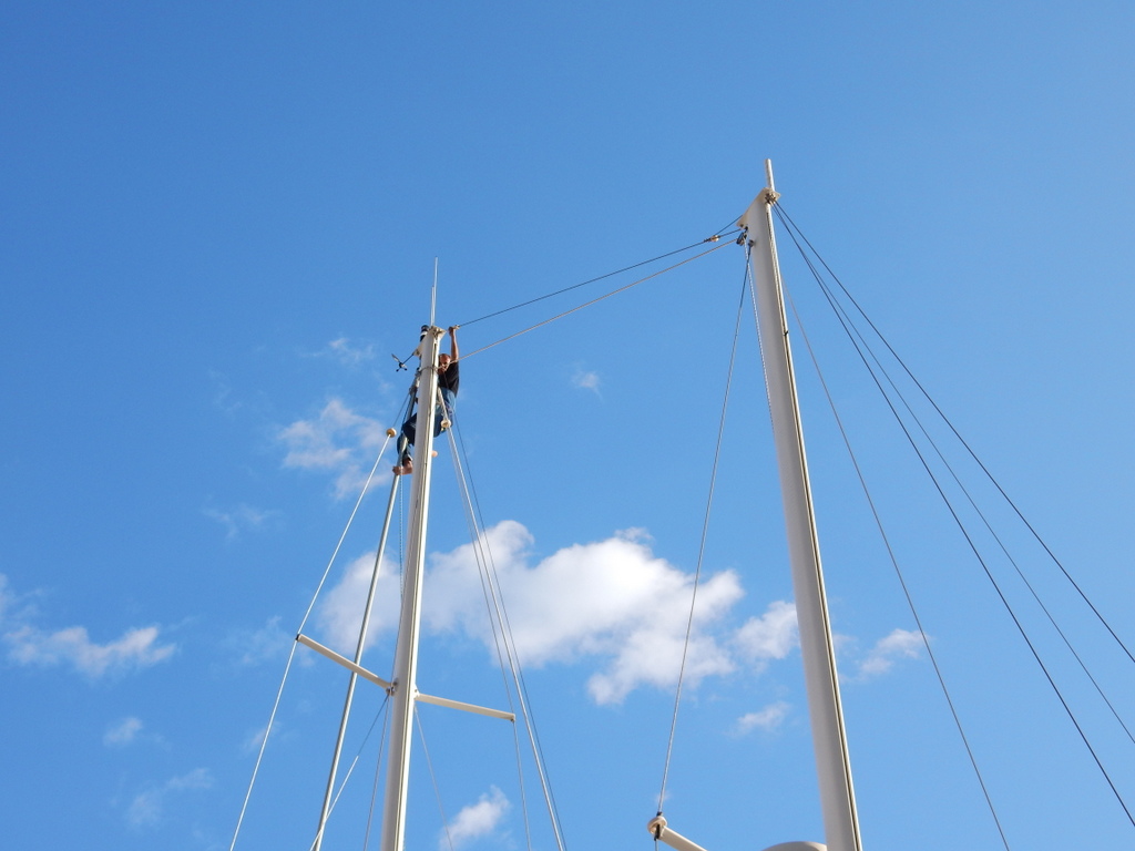
We had waited patiently for 8 days after our crew arrived in Sint Maarten for a forecast that predicted enough wind to sail at least halfway to Rhode Island. For the previous weeks the wind forecasts had been dismal. We were more than ready to go. Sabbatical III was the only boat departing Simpson Bay Lagoon at the 10:30 am bridge opening on June 10. The first 24 hours of sailing was almost perfect with consistent winds and light seas. We were still in the trade wind belt so this was expected. We headed west of the rhumb line as more wind was forecast to our west. The seas stayed slight and wind speed fell but we still proceeded under sail alone. A “rogue” large wave rolled the boat badly on the second night, making the genoa collapse and then refill with a bang, knocking the wind instrument at the masthead out of commission for a few minutes. We had intermittent problems with the wind direction indicator for the next week until it finally failed altogether while Sabbatical III was knocked around in the Gulf Stream. (I have had it replaced here in Rhode Island.)

Sabbatical III is the only vessel to exit the Simpson Bay Lagoon at the 10:30 am bridge opening on June 10.

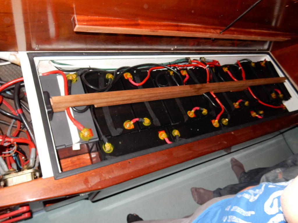
After a few days, the winds were too light to keep our speed reasonable so we began motorsailing. The motor, run at low RPM, in combination with our full set of sails got our speed back up to 6 knots and saved fuel. Some days we had to rely only on the engine, other days it was a mix of sailing, motor sailing, and motoring. We used about 400 liters of diesel fuel out of the 840 liters (600 in the tank and 240 in jerrycans) that we departed with. Those extra five jerrycans that I bought were not needed and will probably never be used. Oh well, they were insurance.

Flat seas and beautiful cloud formations were common on the passage until we crossed the Gulf Stream

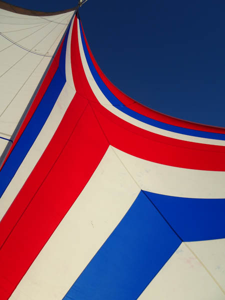
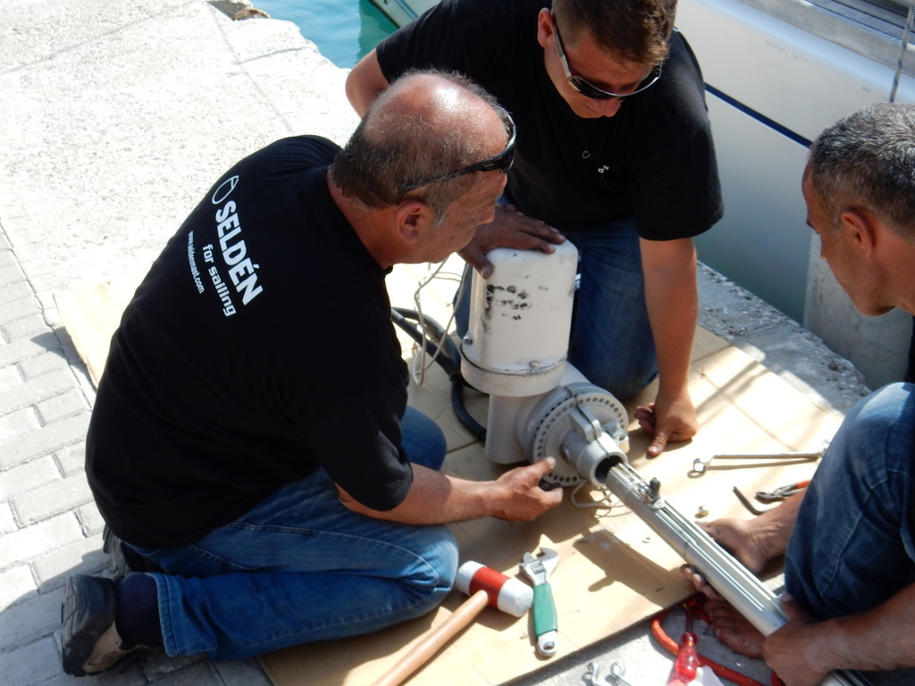
Using our sat phone, we downloaded satellite imagery that showed a very large gyre in the Gulf Stream so we set a course to take advantage of it. By entering the side of the gyre that set to the north we got a nice boost from current before we crossed the main stream itself just two days out of Rhode Island. There were squalls and unsettled seas in the Stream that bounced us around quite a bit and finished off the wind direction indicator (as noted above) but also led to the failure of the main outhaul gearbox. That made the main sail essentially inoperative for us. Halfway through the stream the squalls ended and the seas became smoother. The wind was aft of the beam so the loss of use of the main sail was not consequential.

Sunset at sea
Laura and I celebrate our 41rst wedding anniversary with instant soup-in-a-cup

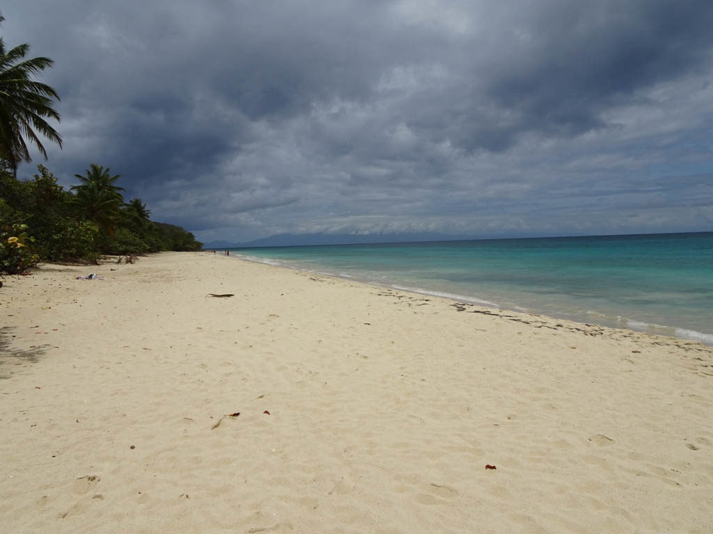
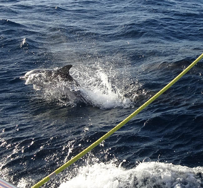
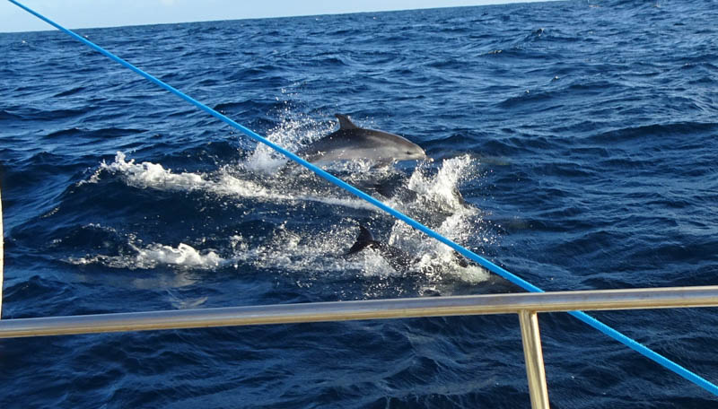
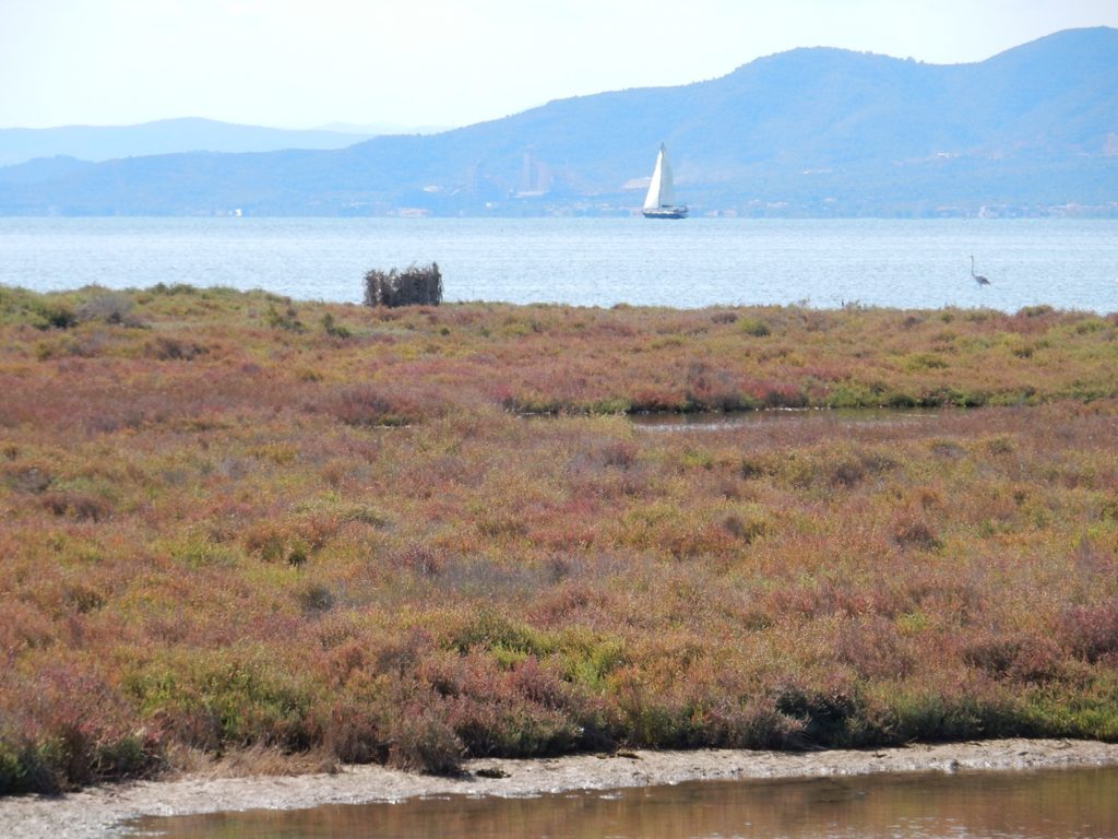
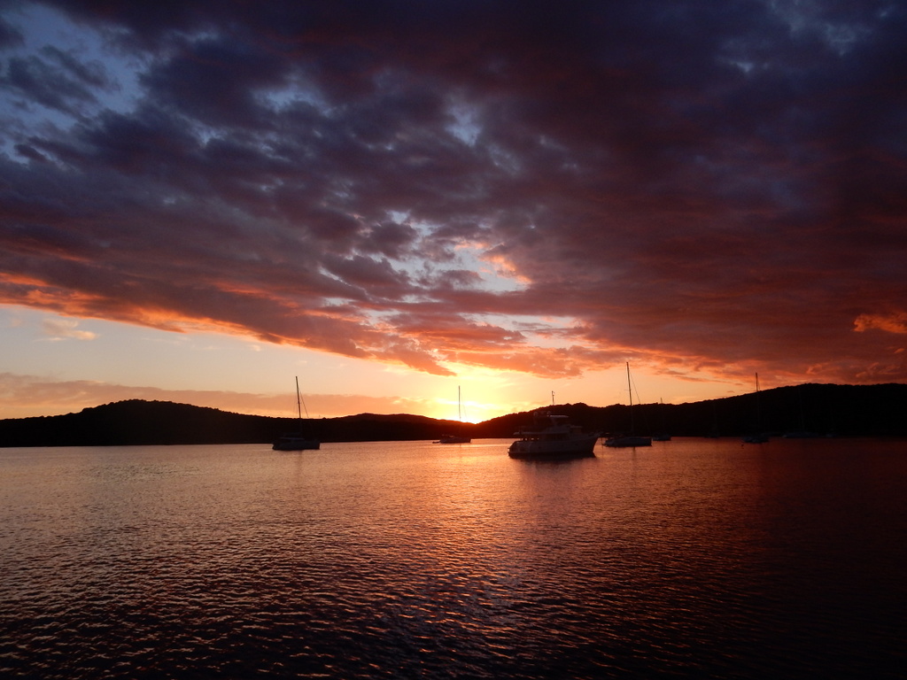
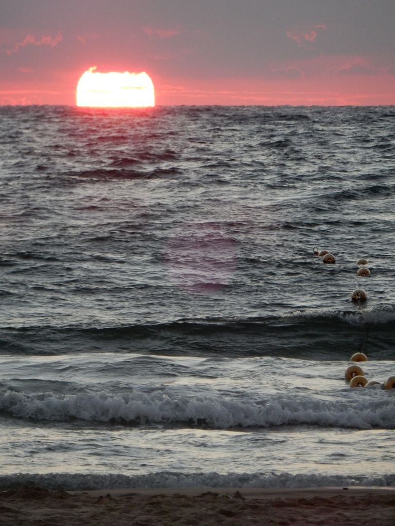
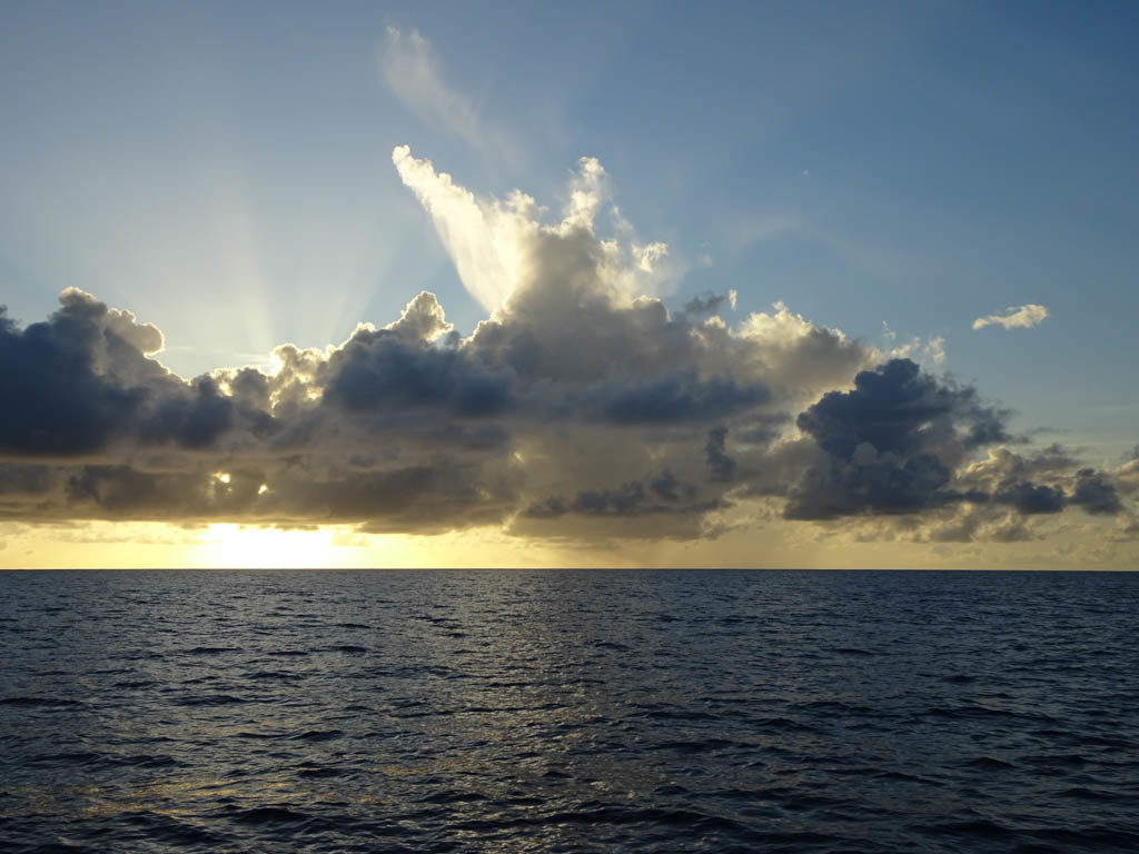
A day out of Rhode Island we first encountered fog and the wind died completely. We were visited by a big school of playful dolphins that leapt and swam at our bow for almost an hour.

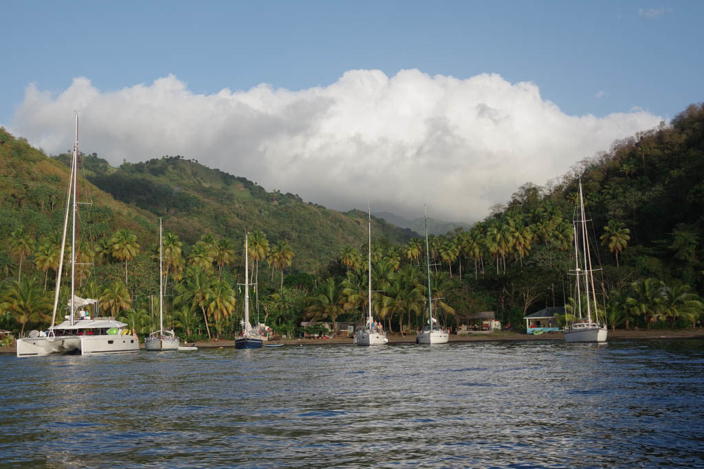
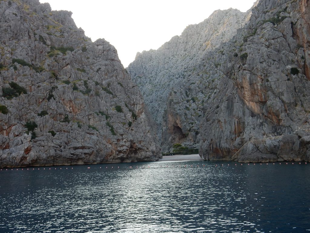
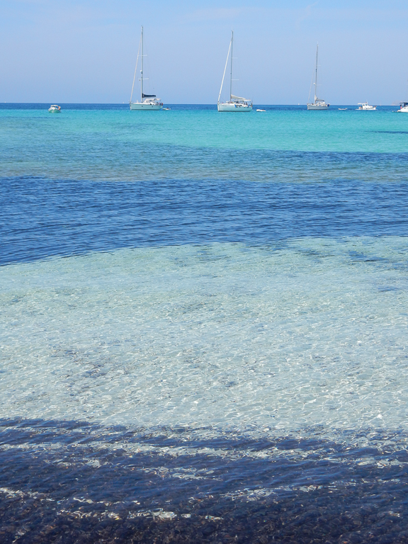
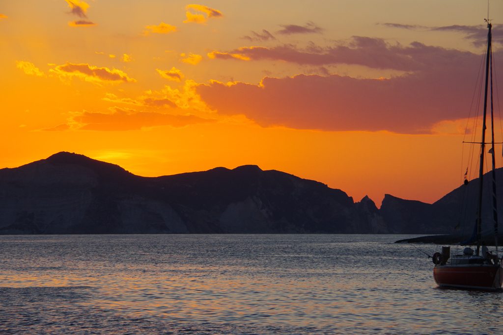
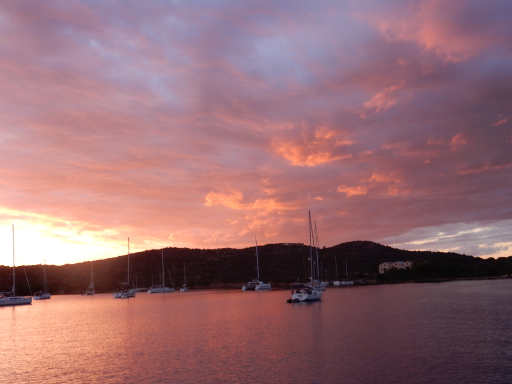
It became clear that we would enter the Narragansett Bay in the dark but also in dense fog. Before departing Sint Maarten, I had picked out a few places to anchor in case of a night time arrival. My first preference was Dutch Harbor, which we knew fairly well, but a Google search had revealed that anchoring was no longer permitted as the mooring field had been expanded. So we made for Bissel Cove, a place we had never visited. We proceed up the West Passage at very slow speed since we could not see more than 50 feet. We relied on radar, AIS, and our digital charts. We could not see the towering Jamestown Bridge until we were less than 100 feet away. With the crew on deck with flashlights looking for moored or anchored boats without lights, we rounded Fox Island and dropped anchor in Bissel Cove at 2 am.

Leif was incredibly patient cleaning sargasso weed off of the fishing lines
Leif and Pat

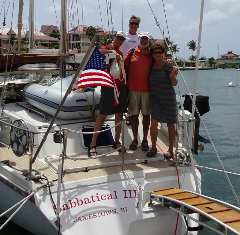
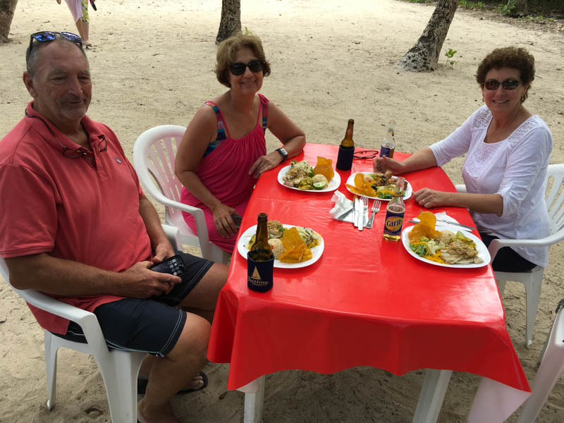
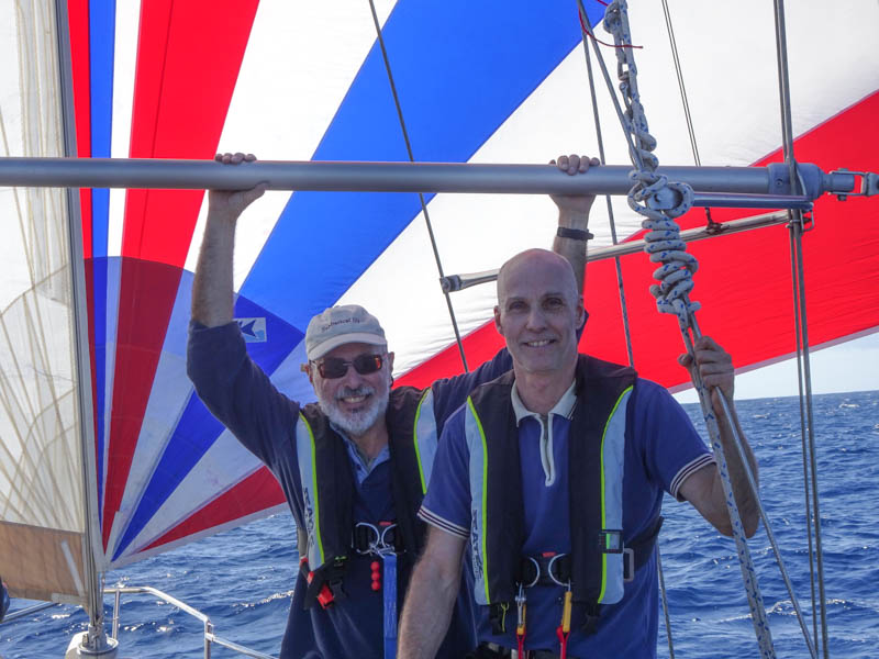
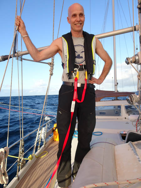
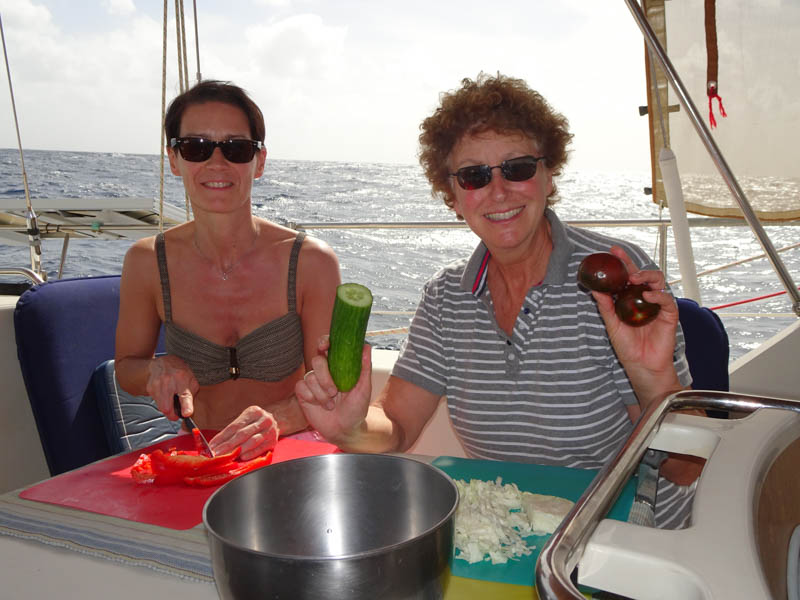
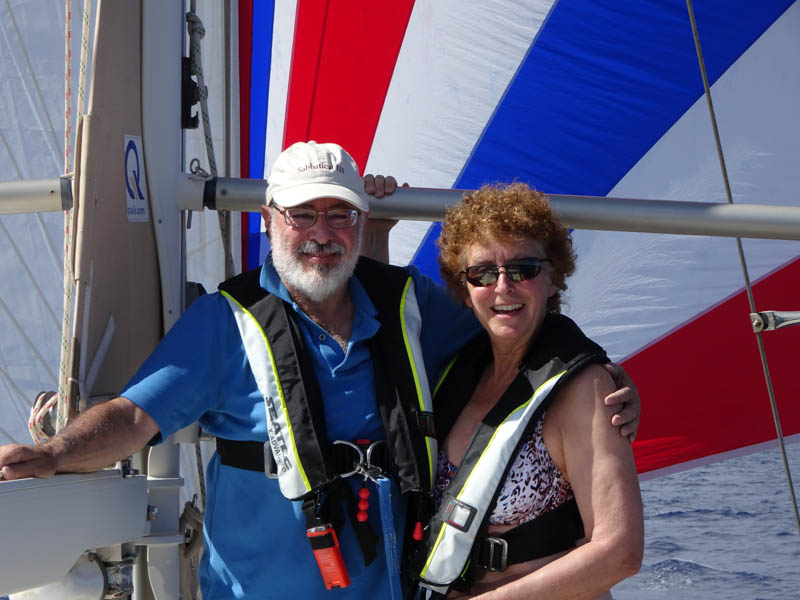
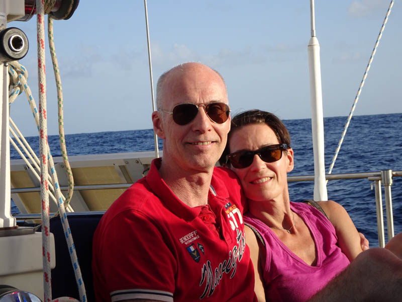
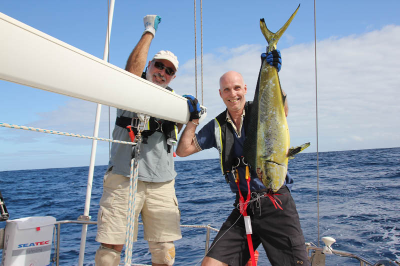
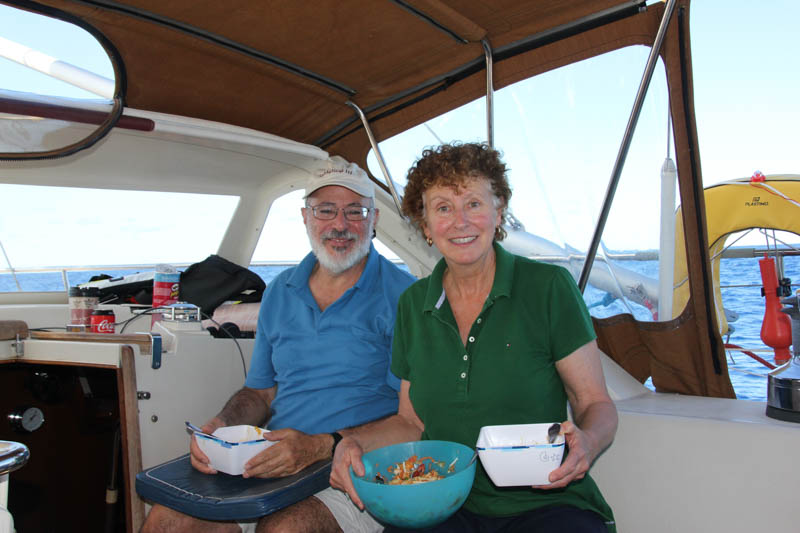
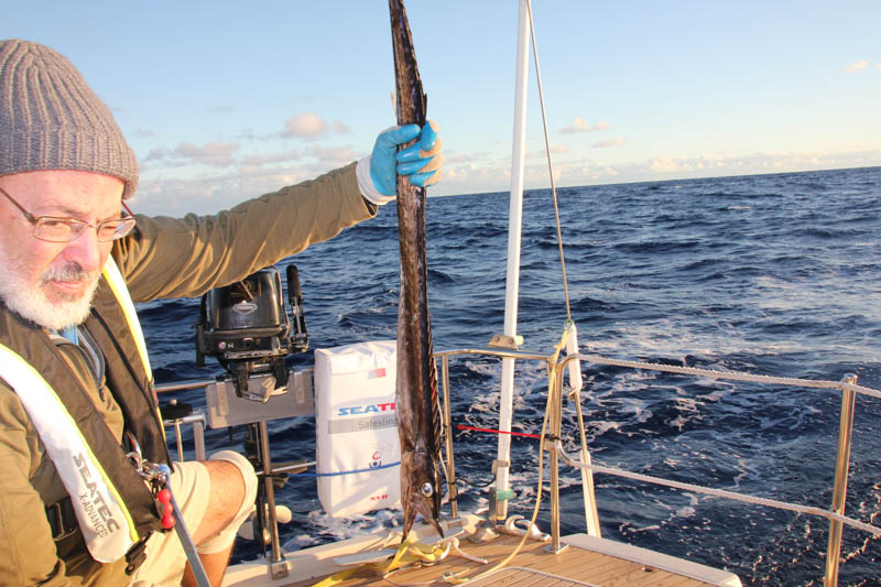
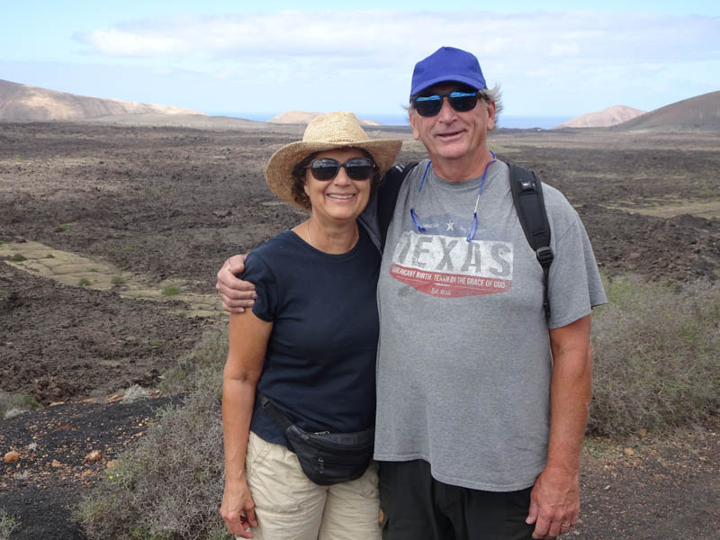
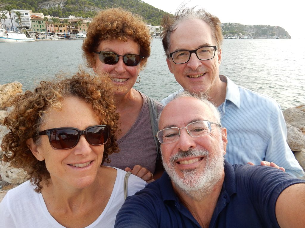
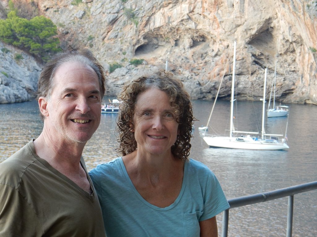
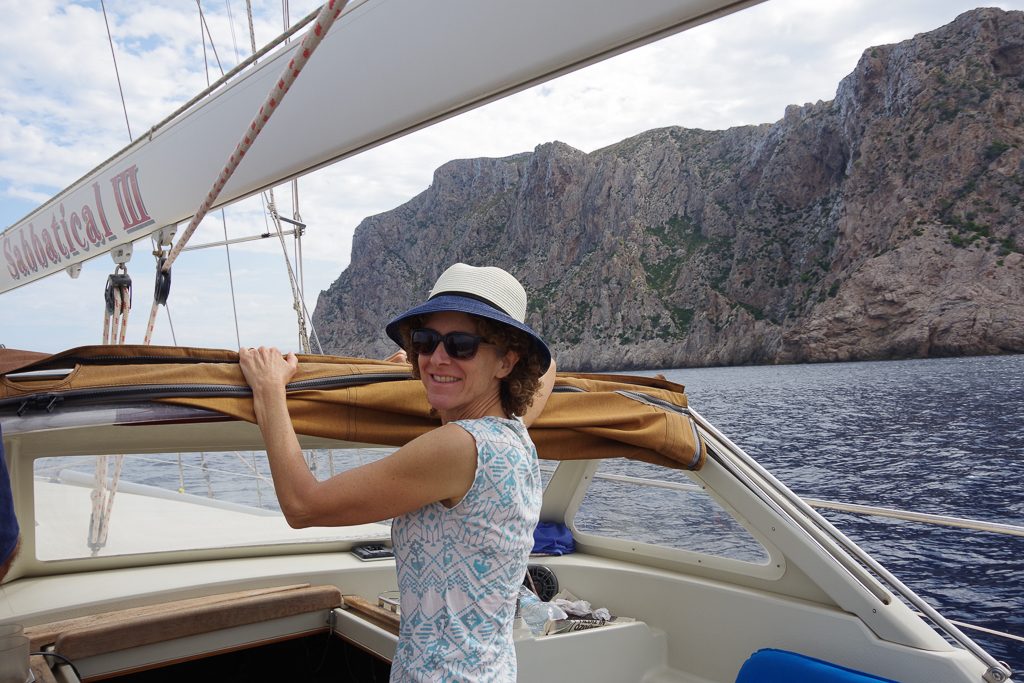
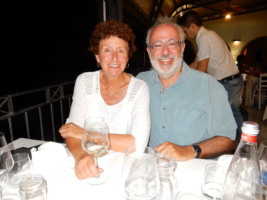
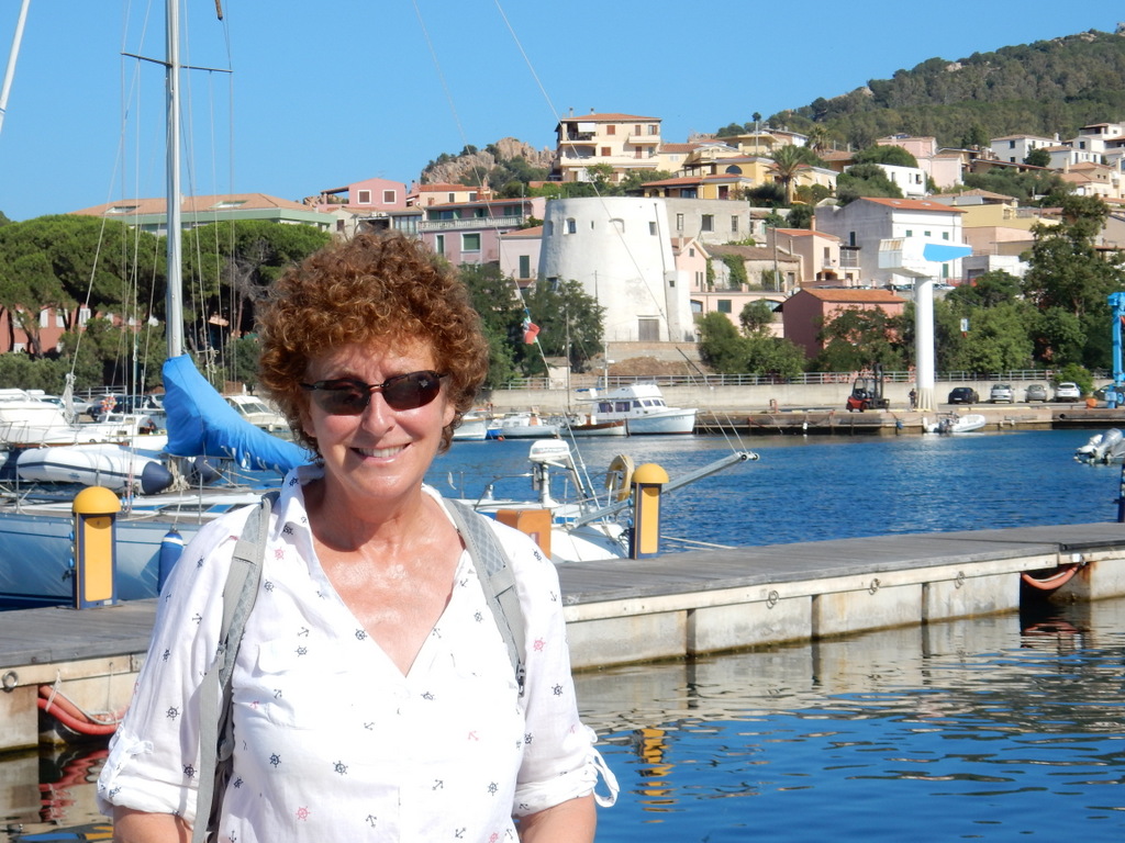
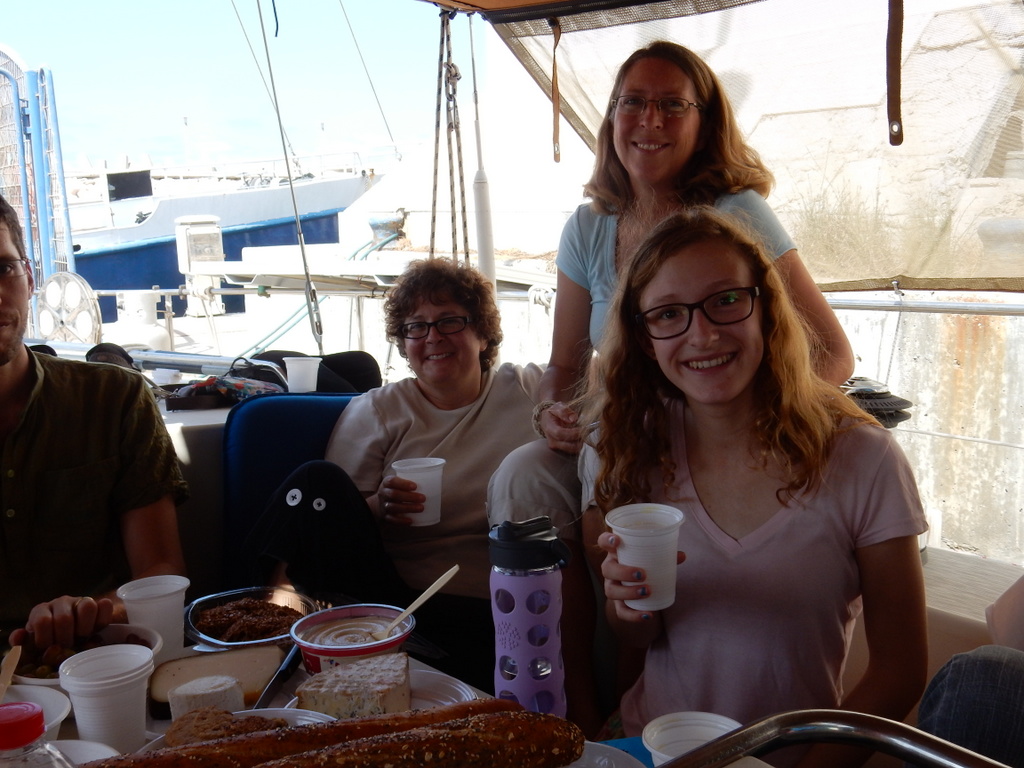
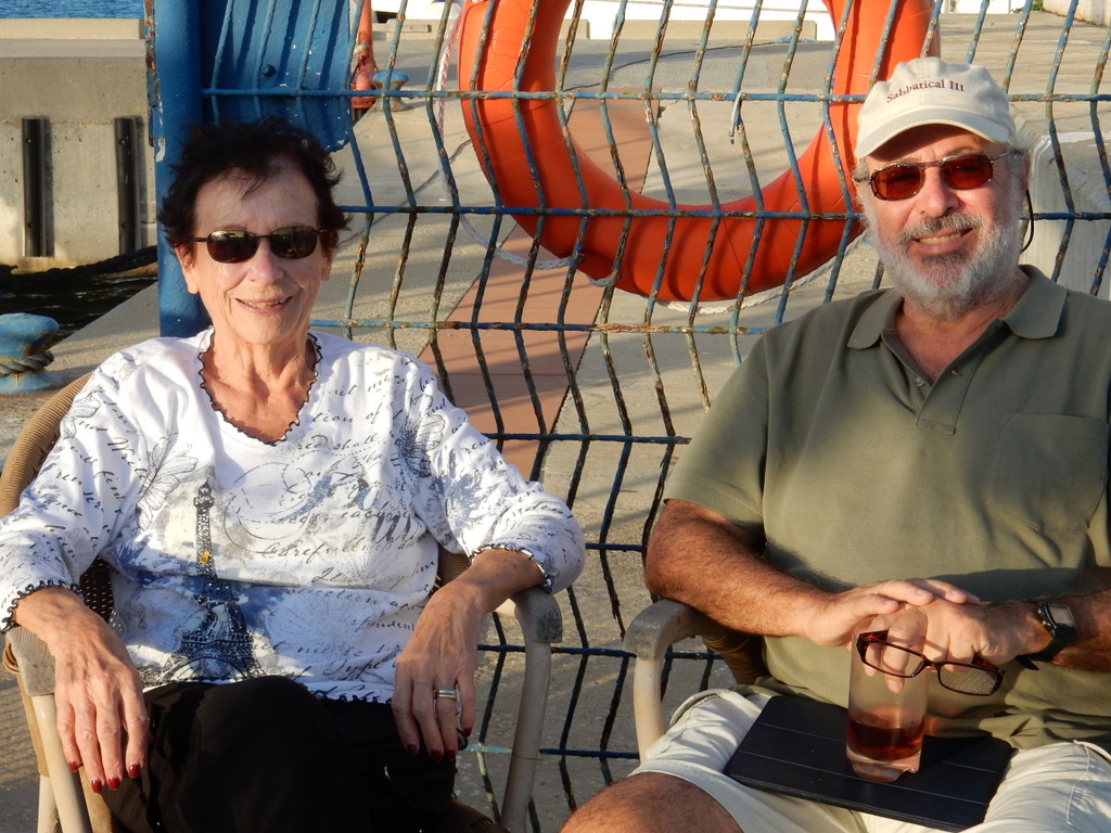
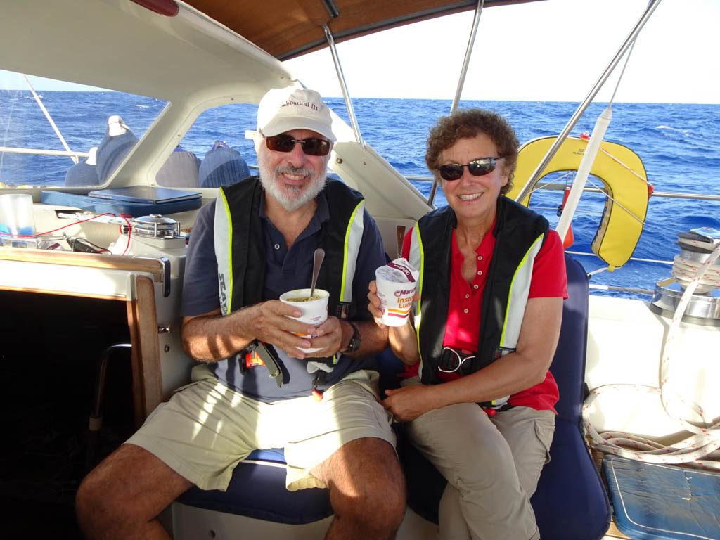
Our volunteer crew, Pat and Leif were great. They were attentive during their watch, and easy to get along with. Leif is a dedicated fisherman. He and I put out lines starting on the first day only to catch Sargasso weed. I gave up after 4 or 5 days of trying but Leif kept putting out fishing lines up until the Gulf Stream. We tried heavier lures, diving lures, and lead sinkers, but still the weed kept fouling our gear. Good thing we had Laura’s chicken curry, chili, and lentil soup in the freezer because fish was not on the menu.

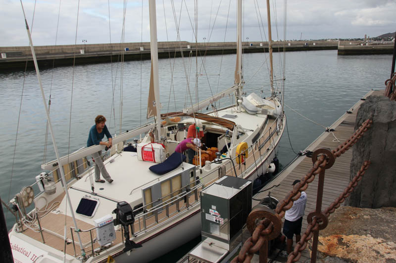
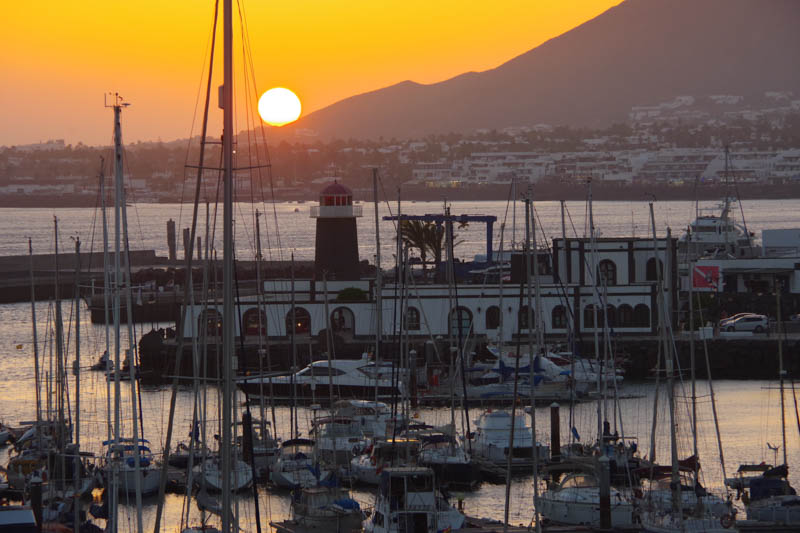
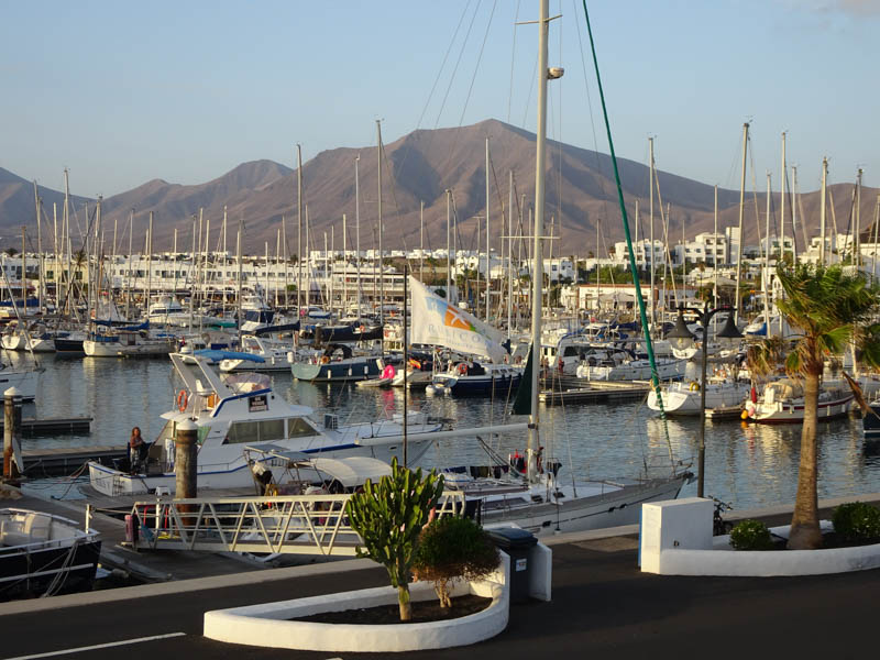
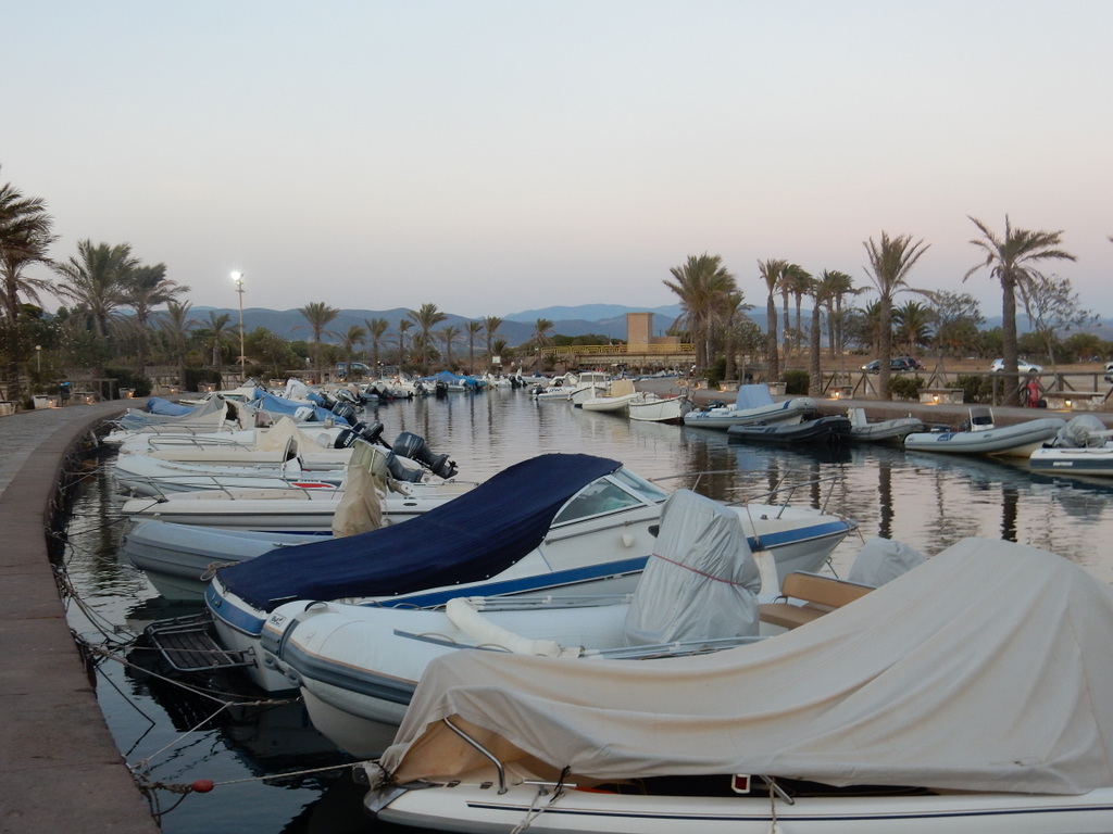
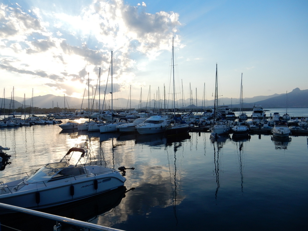
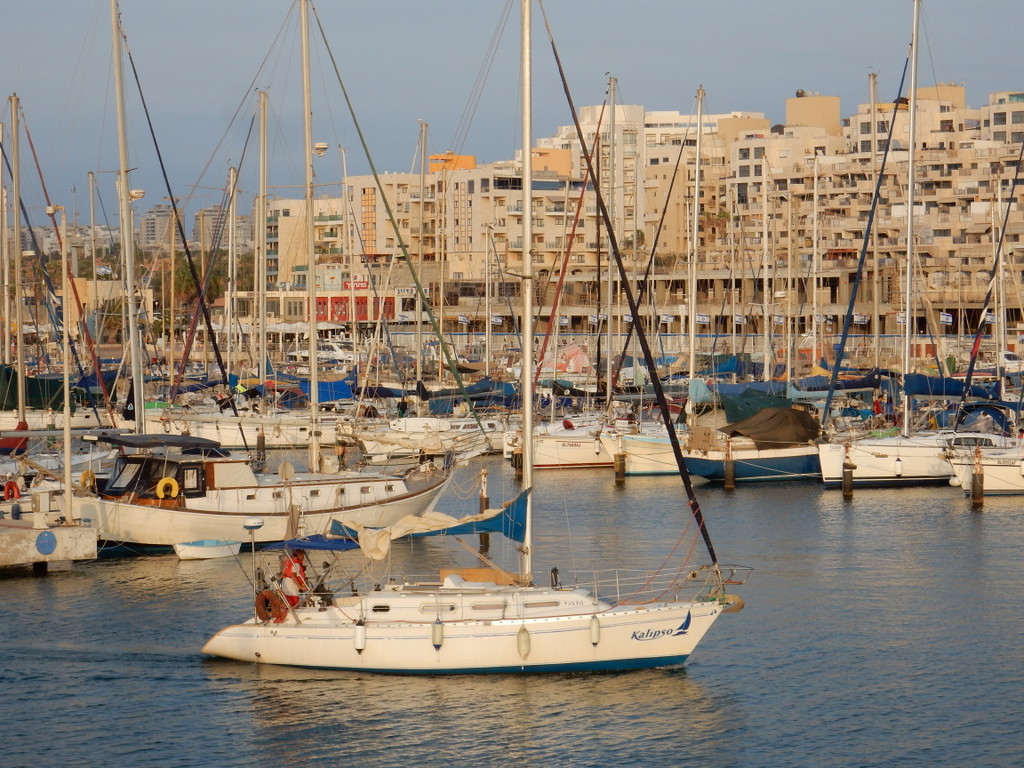
Arrival at the Wickford Cove Marina

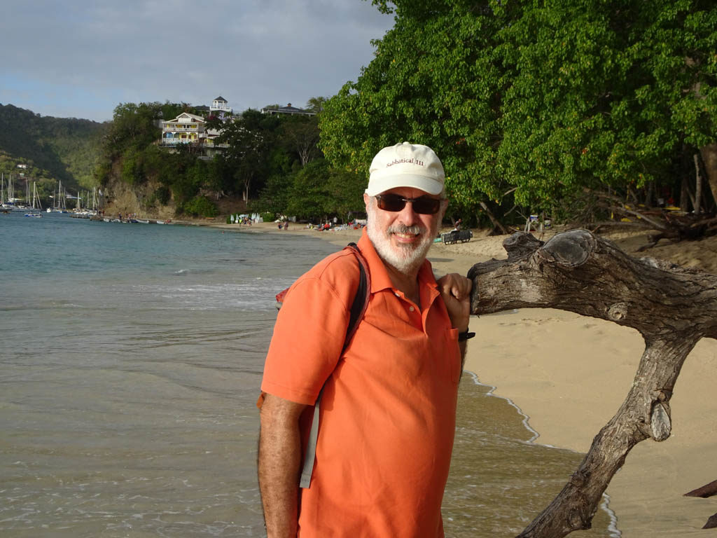
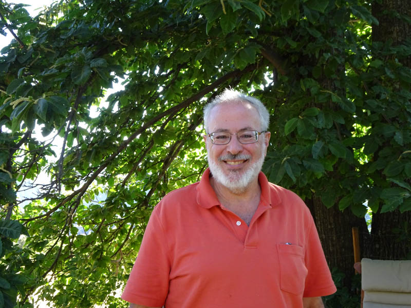
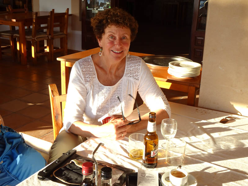
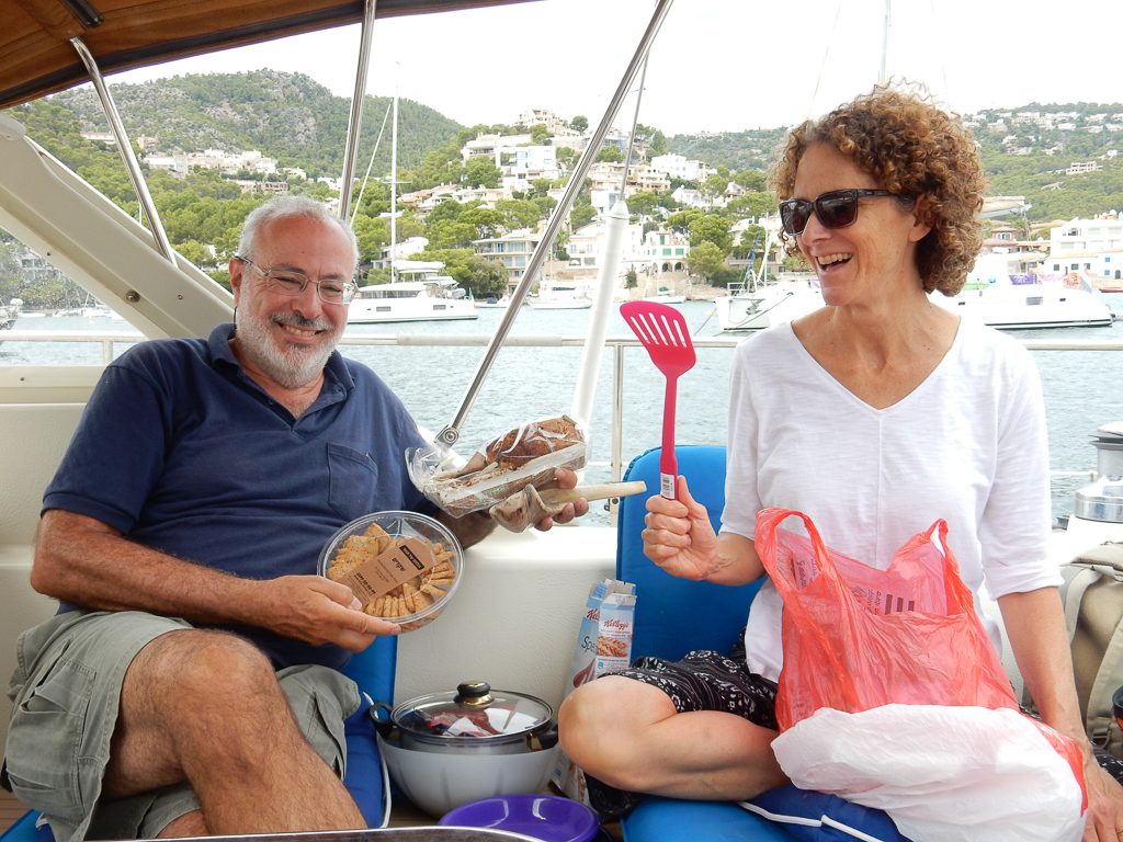
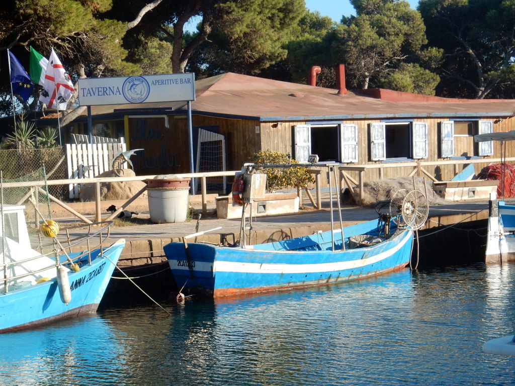
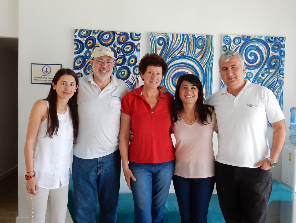
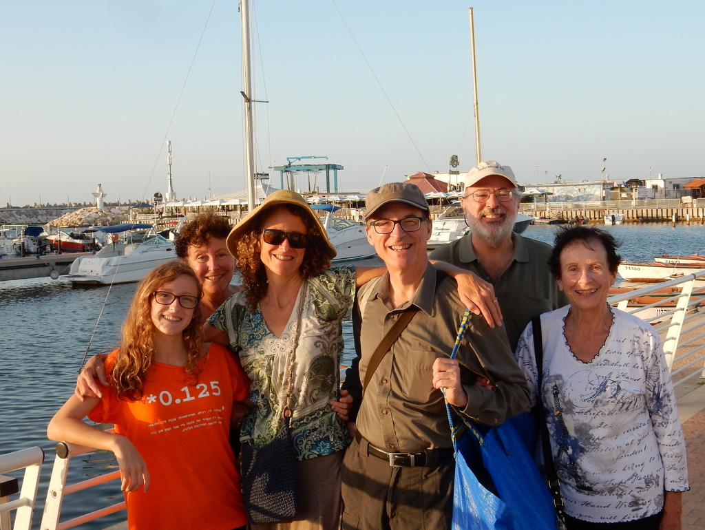
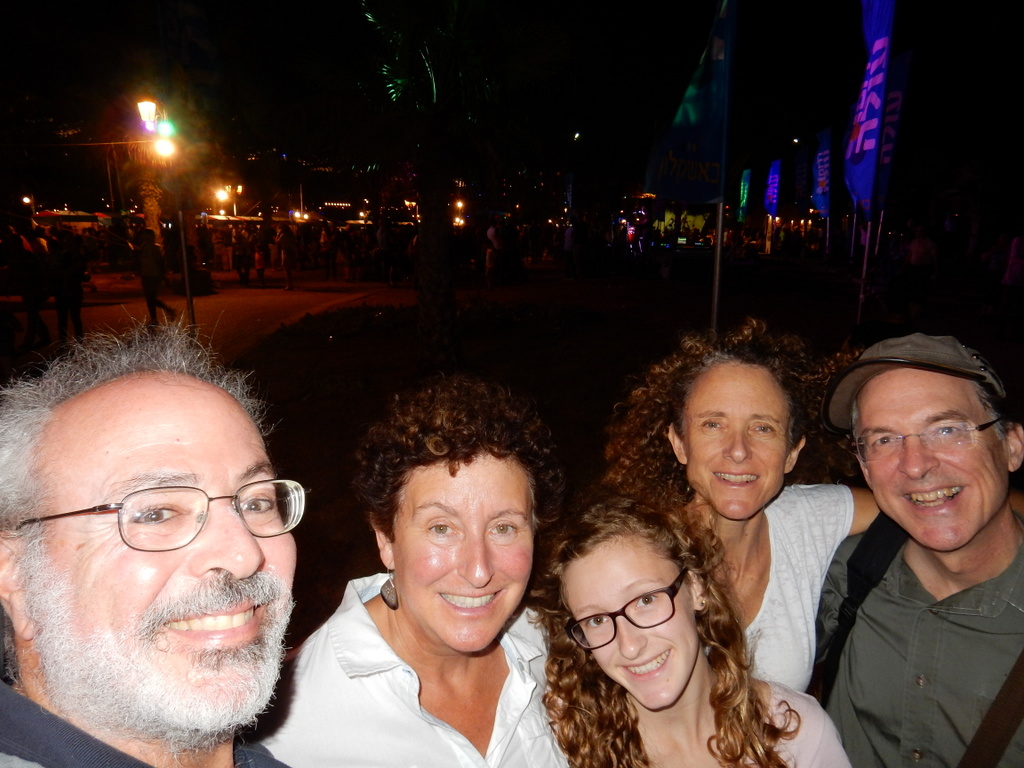
Ben only stayed with us for a few hours after taking our lines on arrival at the Wickford Cove Marina as he had to go to a conference in Martha’s Vineyard. He did leave us with a large box of French pastries. The crew left within a couple hours of arrival. Soon after, our Providence friends Robin and Yoram Ringer, and Wileen Snow came to greet us bearing hugs and gifts. The Ringer’s and Snow’s share ownership of a Freedom 35 sailboat. Before Ben left, we all went for lunch in a waterfront restaurant in Wickford .

The crew of Sabbatical III smiles upon arrival

Our Providence friends come to the dock to greet us. From left: Robin, Wileen, Mark, Laura, Yoram, and Ben.

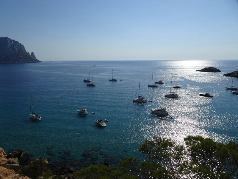
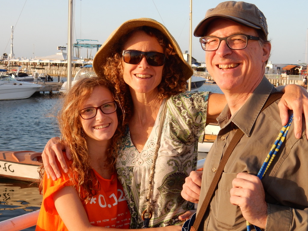
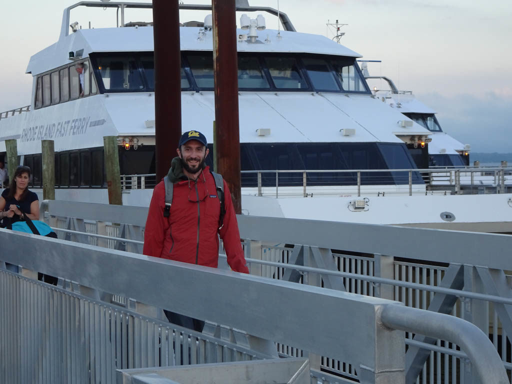
A few days later, Ben finished up his conference and took the ferry from Martha’s Vineyard to Quonset, Rhode Island and spent a few days with us. We walked around this charming colonial-era town and sailed to Potters Cove on Prudence Island and spent the night at anchor.

Ben returns to Sabbatical III after a conference in Marthas Vineyard.
Ben and Mark at the helm on the way to Potters Cove.

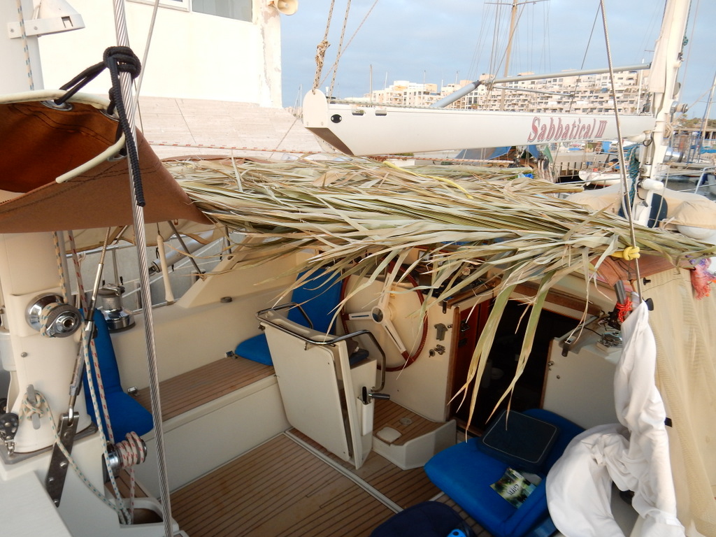
It is now five weeks since we arrived. The town of Wickford and this marina exceed our expectations. All the repair and maintenance issues have been dealt with and tomorrow (July 28) we are sailing to Maine to spent a few weeks sailing in one of our favorite cruising grounds. It is good to be home.

M.

Departing for Rhode Island

Mark and Laura pose with our crew Leif (left) and Pat (rear).

Tomorrow morning (Monday,June 10) we will depart The Yacht Club Port de Plaisance in Simpson Bay, Sint Maarten for Wickford Cove Marina in Wickford, Rhode Island. We have completed our clearance procedures and will exit the lagoon at the 10:30 am opening of the bridge.

Our crew came one week ago but there was no wind to sail north. Light to moderate wind is forecast for most days for a departure starting tomorrow, with strong winds forecast for the seventh and/or eight day of the 10 1/2 day passage. We hope that the wind is sufficient to sail two-thirds of the way to Rhode Island. Concerned about the relative lack of wind, I bought extra jerrycans. We now have 12 jerrycans carrying 20 liters each plus a full 600 liter main tank. If the weather is not as expected, we will stop in Bermuda to wait for conditions to change and to refuel.

You can follow our progress to Rhode Island at our Garmin “Mapshare” site: https://share.garmin.com/MarkPitt

M.

Leif (l) and Pat (r) pose with Mark and Laura at Lobster House restaurant at the marina complex.
Jerrycans are lined up after filling with diesel.
The server and cook at the Lobster House became our friends.
Wooden sail boat destroyed by hurricane. Simpson Lagoon, Sint Maarten.
This sail boat is for sale and probably pretty cheap. Simpson Lagoon, Sint Maarten.
View of the sail boat above that is for sale. Simpson Lagoon, Sint Maarten.
Laura gazes at steel sail boat next to the Simpson Bay Causeway. Simpson Lagoon, Sint Maarten.
View towards our marina from the Simpson Bay Causeway. Simpson Lagoon, Sint Maarten.
“Love locks” on the Simpson Bay Causeway.

Sint Maarten

Laura takes her daily swim at the Yacht Club Port de Plaisance, Sint Maarten

We are happily berthed at the Yacht Club Port de Plaisance on Cole Bay, Sint Maarten, the Dutch side of the island of Saint Martin. When we first arrived from Guadeloupe, we spent a week anchored in Marigot Bay on the French side of the island. It blew hard for the whole week. So hard that we did not want to swim even though the water was a beautiful turquoise. But we did take the dinghy ashore to shop and dine in the town of Marigot nearly every day.

It was clear that the town has a long way to go in it’s recovery from Hurricane Irma. Irma was the first Category 5 hurricane on record to strike the Leeward Islands, followed by Maria two weeks later, and the strongest storm on record to exist in the open Atlantic region. On the morning of September 6, 2017, Irma’s center crossed the island while the storm was at peak intensity and the extreme winds ripped trees out of the ground and scattered vehicles and debris across the island. On the French side of Saint Martin, entire marinas around Marigot were left in ruins, littered with the stranded remnants of boats that had smashed into each other. Almost every boat in our current marina was destroyed.

As we sailed around from Marigot Bay to Simpson’s Bay we could clearly see the devastation wrought by Hurricane Irma. All that is left of these hotels and residence are concrete shells.

A month prior to our arrival in Saint Martin, I had made a reservation at “The Simpson’s Bay Marina” in the Simpson’s Bay Lagoon, one of the largest inland lagoons in the Caribbean. The border between the French and Dutch halves of the island runs across the center of the lagoon. We stayed in the Simpson’s Bay Marina in 2004 and 2006 and had fond memories of our time there. It was jammed with cruising boats on both occasions. We decided we should see how the marina looked post-hurricane before we brought Sabbatical III in. So we took our dinghy through the pass on the French side and dinghied the 1.5 nautical miles to the marina. We were shocked to see the remains of so many sunken sail boats and motor yachts littering the lagoon almost two years after Irma. The Simpson’s Bay Marina was not recognizable. One of the concrete docks had sheared off and the rubble still lay in the water. The marina office was gone, as were the dinghy docks and many other facilities. The marina was mostly empty and nearly half the boats at berths were damaged and probably immobile. We decided that this was not the place for us.

Broken “Dreams” in Simpson’s Bay Lagoon.

On the way back to Marigot, I saw the docks of another marina that I did not know just across the bay from the Simpson’s Bay Marina. On checking my charts, I discovered it is Yacht Club Port de Plaisance. The next day we checked it out and a day later we brought Sabbatical III around to Simpson’s Bay, entered the lagoon when the swing bridge opened, and Med moored at the (also mostly empty) Port de Plaisance.

The Port de Plaisance has some attributes that we value. It is very quiet and is far from road and commercial traffic, except for one weekend night a week when someone rents a big tent in front of the hotel for a party or revival meeting. It also has a very nice gym and pool that were meant for guests of the hotel resort and casino on the property, as well as locals. Damaged by Irma, the hotel is only partially open. Staying in the marina gives us free access to all of the facilities. When Laura does her laps, she is typically the only one in the pool.

We have spent a lot of time getting Sabbatical III ready for her final long ocean passage — to Rhode Island. Aside from a salt water leak in the engine room, she was actually in very good shape when we arrived. But there is always things that need attention. We spent a lot of time and money at the Island Water World chandlery. Laura got a new offshore sailing jacket for Mother’s Day. The trusty hard-bottomed dinghy that we purchased in Saint Martin in 2006 was looking a bit frayed after all that sun and use so we decided to buy a new one. While waiting for the Island Water World staff to setup our new dinghy, we sold our old one to Victor, a young French guy with big sailing dreams. Victor was in the store when Laura put up an ad on the bulletin board and the deal was done right there.

Victor takes our 12 1/2 year old dinghy home on his car.
Laura models her new offshore sailing jacket outside of the Island Water World chandlery.

We have two volunteer crew flying in from the US on June 2 and we plan to leave Saint Martin for the Wickford Cove Marina in the village of Wickford the next day, weather permitting. We may stop in St. Georges, Bermuda if the weather becomes unfavorable. Bermuda is a 6 day sail away. Rhode Island is 4 1/2 days sailing from Bermuda. Although too much wind has been the constant characteristic of our time in the Caribbean this season, there now seems to be a decided lack of wind to our north. Fifty or 100 miles north of Saint Martin the wind seem to be gone. So we have purchased some extra jerry cans to hold diesel just in case, but we will not leave here unless there is wind to sail most of the way. The forecast for the week starting June 3 looks pretty good but it is still early. We will update the blog concerning our departure plans once we know.

M.

Our new home starting mid-June — the Wickford Cove Marina. Our berth in indicated by the box and arrow at the bottom right. Come by and say hello!

From Martinique to Sint Maarten

Sunset over Basse-Terre, Guadeloupe as seen from Saint-Louis, Marie-Galante

We left Cumberland Bay, Saint Vincent heading for Martinique on March 23. The trip is too far to do during daylight in a single day, so we anchored in Rodney Bay, St. Lucia for the night after a fine day of sailing. The next morning we departed for the relatively short trip across the Saint Lucia Channel to the Marina du Marin in the Cul-du-Sac du Marin in Martinique. Once into the channel we began to be hit by small but intense squalls that made the trip a bit more exciting than we had expected. Around noon, as we approached the narrow and winding entry channel through reefs into the Cul-du-Sac, we saw a very large squall approach. Not wanting to be caught in a squall in a narrow channel through reefs, we slowed the boat down to see what would happen. The squall hit with surprising speed and intensity. It was the strongest squall we have experienced since we were in the Pacific, with 40 knots of wind and blinding rain. The wind did not let up and there were out of control charter boats and weekend sailors maneuvering in our path. We headed into the nearby anchorage at Sainte Anne to wait for things to calm down. At 4:15 pm, the skies had mostly cleared and the wind had abated, so we headed into the Cul–du-Sac to enter the marina. Just as we began maneuvering through the moored boats in front of the docks, at the direction of the dockmaster, another squall came up over the hills. Should we abandon our entry we asked. “No, but hurry up!” he replied. We did and made a safe if inelegant arrival at our assigned berth.

In the Marina du Marin we picked up some boat parts that we had ordered and extensively provisioned the boat. We spent a quiet week and then left for the anchorage at Sainte Anne again to meet our good friends Dave and Melinda on “Sassoon.” We took a great hike from Sainte-Anne to Anse des Salines where we had an excellent lunch of fresh fish. After two short days together we once again said goodbye to “Sassoon” as they would be heading west to Bonaire and Curacao, and we were about to head north.

On April 4, we departed for Saint Pierre at the northern end of the island of Martinique. Once known as the “Paris of the Caribbean” the town was destroyed in 1902, when the volcano Mount Pelée erupted, killing 28,000 people. The entire population of the town, as well as people from neighboring villages who had taken refuge in the supposedly safe city, died, except for two people. Mount Pelée still towers over the town and is closely watched by volcanologists. It is absolutely spectacular when you sail past it, looming up over the sea and completely covered in lush green forests.

The next day we sailed across the Dominica Channel and up the west coast of Dominica to Prince Rupert Bay. We have fond memories of our earlier stops in Dominica in 2004 and 2006, but knew that Dominica had been hit by category 5 Hurricane Maria in September, 2017. That hurricane destroyed 90 percent of the structures on the island, and we did not know what to expect. On entering the bay, we called for Martin on the VHF to guide us to a mooring. We used Martin in our 2004 and 2006 visits and he is still the same smiling and helpful guide in his skiff “Providence.” The brightly painted wooden “Providence” was lost in the hurricane and now he was making do with an aluminum skiff until he could arrange to acquire a new wooden boat. All of the “yacht guides” and yacht oriented businesses have banded together into a cooperative called P.A.Y.S. (Portsmouth Association of Yacht Services) based in Portsmouth, the town located in Prince Rupert Bay. They run the moorings and patrol Prince Rupert Bay 24/7 during the winter sailing season (November to the end of May). They help “yachties” with numerous services plus have a great beach BBQ once a week for all of the sailors.

The hurricane stripped all of the tree on the surrounding mountains so the bay had a very different look. People in Dominica are resilient and with some assistance they are rapidly rebuilding. The biggest tourist attraction in the bay is the Indian River, a protected reserve. Dominated by the spectacular buttressed Bwa Mang trees and mangroves, you are guided up the Indian River by licensed boatmen in hand-oared river boats who take you silently past many types of wild life and plant life along the swampy river bank. The hurricane filled the river with tree limbs and other detritus. The PAYS cooperative cleaned it all out and returned it to its previous state as much as possible. We did the trip with Martin again (our fourth time) and saw egrets, crabs, iguanas, hummingbirds and other creatures.

Martin rows and poles “Providence” up the Indian River.
Vegetation along the Indian River, Dominica
Flower along the India River, Dominica
Trees along the shore of the Indian River, Dominica.
Mark poses at the Purple Turtle Beach Club, the best know sailors haunt in Portsmouth (Prince Rupert Bay), Dominica

On April 10, we left Prince Rupert Bay, Dominica and sailed through the Guadeloupe Passage to the small island of Marie Galante. Marie Galante is part of the French overseas region of Guadeloupe, lying about 15 nm from Basse-Terre, the western-most main island of Guadeloupe. We spent a few days here in 2004 and really liked it even though the anchorage is quite open and can get quite rolly if the winds switch to the north. As before, we anchored at Saint-Louis, a small town on the western side of the island. We expected to spend a week there but it was such a pleasant place that we stayed for 18 days. For us, Saint-Louis had everything we were looking for. The anchorage is gently sloping and shallow with a thick sand bottom. We anchored with only one meter under the keel. It never got rolly. The water is crystal clear and inviting for swimming. The town is small and very quiet., No bars and music at night. No traffic. In fact, few people around at all. The town does have a few excellent seafood restaurants (“La Baleine Rouge” was our favorite) where we had wonderful meals served by friendly staff that got to know us well. There is a new, secure dinghy dock on the pier. A 15 minute walk past the sugar cane fields bring you to a “U Express” supermarket that had fresh fruits and veggies and all of the grocery items we need. Near the pier is a butcher and a bakery (“Delices de Saint-Louis”). Plus, we did an easy and fast customs and immigration check-in and check-out with Lily, the woman who runs the local tchotchke shop, and we bought two handpainted coffee cups from her too. There is an excellent hike along the shore and through the woods to a deserted beach. The only thing lacking was decent internet on the boat. It was abysmal. So we had long French-style lunches at “La Baleine Rouge” which had free WiFi. We lingered over coffee and homemade ice cream while checking our email and the news.

Small boats moored at Saint-Louis, Marie Galante Island. Basse-Terre, Guadeloupe in background.
We walked to the “U Express” supermarket past these recently cut sugar cane fields. Saint-Louis, Marie Galante Island.
Front of our favorite restaurant “La Baleine Rouge”. The Coke’s were not 15 cents. Saint-Louis, Marie-Galante Island.
Fishmonger. Saint-Louis, Marie Galante Island.
Mural on house depicts sugar cane harvest. Saint-Louis, Marie Galante.
Sunset. Saint-Louis, Marie Galante.
Hiking path to Anse Canot. Marie Galante.
Beach at Anse Canot. Marie Galante.
Don’t run over a turtle! However, the road was littered with smashed crabs. Anse Canot, Marie Galante.

We departed Marie Galante on April 28 heading for the Jacques Cousteau Marine Park (Pigeon Island) on the west coast of Basse-Terre, Guadeloupe. We got knocked around by squalls while rounding the southern tip of Basse-Terre where it always seems to be raining. Pigeon Island did not impress and we left after one night. We departed in the afternoon of April 29 for an overnight sail to Marigot Bay, Saint Martin. There was lots of wind and we made excellent time, arriving in the morning to Marigot Bay on the French side of the island. We will describe our experience in Saint Martin (Sint Maarten) in our next post.

M.

Tobago Cays and Cumberland Bay

Sabbatical III at anchor in Cumberland Bay, St. Vincent Island

Tobago Cays

We left Bequia on March 6 and sailed to Tobago Cays further south in the Grenadines. The Tobago Cays consist of five small, uninhabited islands and several shallow fringing reefs and a large barrier reef to the east known as Horseshoe Reef. Behind the reef is a lagoon with a sand bottom where we anchored. The whole area is a marine national park. It blew hard every day we were anchored at the Tobago Cays as it has almost every day since we arrived in the Caribbean, So hard on some days that we could not swim or snorkel. Nonetheless, it is a magical place. At low tide on more moderate days we took the dinghy up to the reef to snorkel. The reef was still vibrant and there were plenty of fish, including a Caribbean blue shark that surprised us. Turtles swam around the boat constantly.

A boat sails into the channel leading to the lagoon behind Horseshoe Reef,
View towards Mayreaux Island.
On a day when the tide was high and the wind was strong, sargasso weed blew over the reef and into the lagoon. This is a view of the anchor chain and snubber of Sabbatical III.

Cumberland Bay, St. Vincent Island

Boats at anchor in Cumberland Bay, St. Vincent Island. Sabbatical III at far right.

We left Bequia (for the second time) on March 20 and sailed up the west coast of the high, mountainous island of St. Vincent as far as Cumberland Bay. We have sailed past St. Vincent Island many times, marveling at it’s beauty, but never stopped because of it’s longstanding reputation for petty crime against boats. Our friends Melinda and Dave of “Sassoon” spent a few days at Cumberland Bay on their way north from Bequia (at the same time that we went south to Tobago Cays) and sent us a glowing report of the beauty, friendliness and safety of the place. They certainly did not exaggerate.

We arrived at midday on a Wednesday that was, unbeknownst to us, “party night” at Cumberland. Large (60 foot) crewed catamarans come in late Wednesday afternoon and discharged their passengers for BBQ and steel drums ashore. There were 3 boats when we arrived at noon on Wednesday but there were 14 boats anchored by sunset.

The water in Cumberland Bay is too deep to safely rely on a single anchor to hold a boat in the prevailing easterlies that blow down from the mountains. The system is to drop an anchor in the deep water and then take a line ashore from the stern to a coconut palm or other object. The weight of the boat is taken by the stern line. The anchor mostly keeps the bow into the swell and any light westerlies that might arise in the afternoon. There are “boat boys” who come out in a dinghy to take your stern line and bring it ashore for a different set of men to tie to the tree. There are three of four “boat boys” who take turns handling arriving boats, even though only one would be enough to handle the traffic. The “boat boy” is tipped for his efforts and he shares some of that with the guy ashore who ties the knot around the tree. That way, more people in the community benefit from the boats that visit. Knowing the anchoring setup, we had a strong 140 foot line prepared, our longest line. But even that was not long enough. We added two shorter lines to the end of the long line to make a bridle to each stern cleat.

We did not join in the Wednesday night party ashore. We were content to listen to the steel drum band from the deck of Sabbatical III. We had snorkeled on the reef at the entrance to the bay earlier in the day and were tired from our long day. The next morning almost all of the boats departed leaving only 3 other boats at anchor. We went to the Mojito Restaurant ashore and arranged for one of the members of a large, extended family to drive us to Dark Falls, a set of waterfalls about an hour drive away. It seems that everyone in the small community of Cumberland is related. Our driver (Jamaal) brought his cousin (Mata) along. The cousin is one of 27 children born to the partners of his father. The four small restaurants ashore are all owned by different uncles, and they all know where you eat and even what you ordered. (One must order hours in advance since they acquire many of the ingredients after you order). Apparently, the most important industry in the hills above Cumberland Bay is ganja growing for export. This industry is somewhat in decline and tourism is a seen as a good alternative.

The trip to Dark Falls was amazing and the driver and his cousin were extremely interesting and friendly. The narrow road is cut into the volcanic mountains rising steeply from the sea and is full of hairpin turns. The driver honks the horn before every hairpin turn so as to alert any car that may be coming the other way. Typically, there is not enough room for two cars to pass on a turn. The views were spectacular. Dark Falls is set in a forested highlands and one must traverse a pedestrian suspension bridge made from bamboo. Laura even had a swim under one of the waterfalls.

We are now back in Le Marin, Martinique.

One of the waterfalls at Dark Falls, St. Vincent Island.
Village above Cumberland, St. Vincent Island. A dog bit me here when I tried to take a photo of the mural in the front of the house of a Rasta. Fortunately, St. Vincent is rabies free.
Cumberland Bay, St. Vincent Island.
Our fruit seller “Gas” on his way to meet our fruit cravings.
Fruits for sale. Cumberland, St. Vincent Island.
“Gas” paddles his fruit kayak as the sun sets. Cumberland Bay, St. Vincent

M.

Bequia

Laura’s favorite soft drink, locally made Hairoun Bitter Lemon, as viewed from the Frangipani Restaurant, Admiralty Bay, Bequia

We departed the anchorage of Rodney Bay, St. Lucia at 4:00 am on February 20 bound for Admiralty Bay, Bequia Island in the nation of St. Vincent and the Grenadines. There were quite a few squalls during the passage, with high winds and bumpy seas, particularly in the channels between islands. In 2004, we did this same passage with Laura’s mother, sister and brother-in-law and is was nothing like the 2019 passage. Good thing.

Sailing past the “Pitons” on the southern end of St. Lucia
The Pitons are illuminated by a beam of sunshine during a squally sail down the length of St. Lucia

I started out by trolling two fishing lines from the stern of Sabbatical III. Almost immediately they caught sargasso (Sargassum) weed. There was weed patches everywhere, particularly in the channels. I hauled in the fishing lines and cleaned off the weed and reset them, but soon found it to be useless to try.

Catch of the day on Sabbatical III: sargasso weed

We arrived in Admiralty Bay, Bequia in mid-afternoon and found it crowded with boats. It is a popular spot with sailors and it is easy to see why. Although the wind constantly blows strongly off of the hills, there is good protection from waves and the town of Port Elizabeth is charming and only overrun with tourists on the days when a cruise liner anchors outside and ferries in their passengers in motorized pods. Even then, we know which places to avoid. On those days Princess Margaret Beach (named after Queen Elizabeth’s sister) is one mass of bodies laid out in the sun. We just hike up and down a steep hill at the end of that beach and wind up in Lower Bay with an uncrowded beach and a couple of small beachside restaurants.

Our friends Dave and Melinda from the boat “Sassoon” were anchored at the other side of Admiralty Bay when we arrived and it was nice to spend two weeks with them catching up. We shared coffee or tea and cake at the Gingerbread House, our favorite cafe, where we sat under the huge “almond tree.” We also shared walks, lunches, and snorkeling with them.

With Melinda and Dave of “Sassoon” at the Gingerbread House.
The Gingerbread House and “almond tree” with the convenient dinghy dock in the foreground.

We left Bequia on March 6 and sailed further south to Tobago Cays. We will write a separate blog about Tobago Cays and about our time at Cumberland Bay on the big island of St. Vincent. On the way north from Tobago Cays, we again anchored in Admiralty Bay, Bequia for another week (March 13 to March 20).

Most days we enjoyed strolling on the recently restored Belmont Walkway. This ocean front walkway is a major attraction on Bequia for visitors and locals. It starts in town running alongside Belmont Beach and continues over a headland to Princess Margaret Beach. At the other end of the beach another trail leads up and over a headland and connects with the road leading down to Lower Bay.

Signpost for the Belmont Walkway and Princess Margaret Trail, with Admiralty Bay in background.
Princess Margaret Trail, Bequia
“Pizza Hut” on the Belmont Walkway, Bequia
Sign in front of bookstore, Belmont Walkway, Bequia
Fruit and vegetable stand, Port Elizabeth, Bequia
Mark at Princess Margaret Beach, Bequia
Selfie taken at Fort Hamilton (as in Alexander Hamilton) above Admiralty Bay, Bequia
Sign at the Whaleboner, Belmont Walkway, Bequia
Laura’s Restaurant, Port Elizabeth, Bequia
Laura climbs aboard after one of her many swims off of Sabbatical III, Admiralty Bay, Bequia

M.

Martinique and Saint Lucia

Aqua Grill, Sainte-Luce, Martinique

Sabbatical III spent five weeks in Martinique. The first two days at anchor in Sainte Anne, then one month in the nearby marina at Le Marin, then 4 days at anchor in Sainte Anne again. While Sabbatical III was in the marina, we took the opportunity to fly to California for 10 days to visit our children, Laura’s mother who was visiting from St. Paul, and Laura’s brother and sister. It was a wonderful trip.

We also had the Amel base in Le Marin perform some of those maintenance tasks that are required only every 10 to 15 years. This included disconnecting the engine from the transmission by unbolting it and moving it aft, and inspecting the transmission coupling and changing the bushings on the coupling. We also had a rigger experienced with the Amel rig inspect the standing rigging and tune it.

Cattle graze on the east coast of Martinique

We also rented a car for a few days and toured around the southern half of the island. The roads are winding but in good shape.

Lunch with Frank and Barbara of “Destiny” at the Creole restaurant Le Cocotier in Cap Chevalier, Martinique
Laura at the beach at Petite Anse, Martinique. We had lunch a Creole lunch at Snack Fredo and Laura had a swim.
Mark at the beach at Petite Anse.
View of Rodney Bay, St. Lucia from Pigeon Island.

On February 8, we had a nice sail to Rodney Bay, Saint Lucia from Sainte Anne, Martinique. We hoped to catch fish in the open waters of the channel between the islands but after 5 minutes of trying it was apparent that all one could catch was sargassum weed. There were weed patches everywhere. Even with a lure weighted to keep it well below the surface, weed piled up on the lure and hook after only a few minutes. The widespread infestation of sargassum weed has fouled beaches, particularly those that are east facing, and has already affected our sailing plans. Beaches and bays on the west (leeward) side of islands are relatively unaffected.

Sunset at Gros Islet, St. Lucia (near the Rodney Bay Marina)

We are now in the Rodney Bay Marina in Saint Lucia. This is our fourth time at this marina (2003, 2004 twice, and 2007). There is new mall nearby with a very nice supermarket (with mostly American products), so we will re-provision the boat. We expect to stay for a couple of days more and then head south to Bequia Island in Saint Vincent and the Grenadines.

M.

Completion of Atlantic Crossing

We smile as we approach the Marina du Marin in Martinique

Atlantic Crossing Finale:

We arrived in Martinique at 13:40 on Monday, December 31st after exactly 19 days and 4 hours at sea. Our passage was approximately 2,950 nm or 3,400 miles.

Our passage was one of the best of our 12 year sojourn. It was tied with our Pacific passage from the Galapagos to French Polynesia as the longest, and yet this was one of the easiest. Part of this was due to the fact that we had a Norwegian couple, Tom-Erik and Vivi-Ann, with us and they were very competent, pleasant and helpful crew. Sharing the night watch among four people was so much easier than among two. Tom was particularly helpful in helping with meal preparations and cleaning up. I had prepared at least a dozen full dinners before the trip (and froze them) and with the addition of catching and cooking lots of fish, and Tom’s extra cooking (particularly with yummy egg and potato creations) plus a huge smoked Norwegian salmon, we had plenty of good food without too much hassle. It is hard to work in the galley while the boat is pitching around, even if it is just moderately pitching, so it was very helpful to have other hands ready to help.

The four crew of Sabbatical III pose just prior to leaving the Marina Rubicon in Lanzarote, Canary Islands (Dec. 12, 2018)

We also had relatively benign weather conditions… lots of days with moderate winds, small swells and smooth sailing. Lots of blue skies and sunshine. Our timing was such that we enjoyed watching the moon wax full over the first ten days and so we had lots of moonlit nights and also many nights without much moon, but with brilliant stars. We also had a couple of days without wind, and a couple of days with way too much wind, but on average, it was quite comfortable and smooth.

Perhaps the biggest reason that the passage seemed easier than in the past is that we were so well prepared for it. Not only have we had many years of sailing experience, but Mark had done an amazing job of making sure that EVERYTHING on the boat was working perfectly before we left. Obviously anything can happen on a boat, and all sorts of mishaps can and do occur, no matter how well you plan, but really, he did such a thorough job of preventative maintenance, that we had a problem free passage. Nothing failed. Sails, rigging, engine, generator, water maker, water-pumps, bilge pump, AIS, GPS, radios, radar, refrigerator, freezer, nav-lights, etc.etc. If any of these things fails it can lead to catastrophe, or at least a much compromised passage. Everything worked perfectly.

Mark and Tom-Erik pose after setting the ballooner and genoa on poles
Laura prepares freshly caught mahi-mahi
Scores of dolphins visit Sabbatical III and put on an hour long show for us
Vivi-Ann poses with a mahi-mahi that we caught
Tom watches dolphins
Ballooner colors shine bright against a blue sky

Even our precious propane tanks, which we have not been able to refill since we were in Italy 2 years ago, managed to contain just enough gas for us to cook with. Our first tank petered out three days before our arrival in Martinique, and we were able to switch over to our remaining half a tank and continue to heat water and prepare meals without resorting to turning on the generator for power.

Our arrival in Martinique also marked the completion of my (Laura’s) circumnavigation on Sabbatical III. I started this trip in December 2006 (from St. Martin in the Caribbean) and so this arrival back in the Caribbean marks the end of my circumnavigation. Mark officially finished his 5 months ago when we arrived in the Canaries.

More details of the last days of the trip:
We were able to sail continuously (no motoring) since the afternoon of December 25th, as the winds finally filled in for us. It was good timing as we were all feeling a bit sick from the diesel fumes we had to endure on and off for much of the previous two days. (We motored 45 hours of the 460 hour trip).

We were able to sail quite fast our last five days, starting out with the ballooner and genoa set out on poles, and then taking those down when the swells got too big and just sailing with our standard sail configuration of main, mizzen and genoa.

We had a number of squalls rolling through during the nights of the 28th and 29th, but we stayed dry and warm once we closed off the cockpit with our big zip-in waterproof enclosure. It was very cloudy for those days, and we got a lot of rain, something we have not seen much of for quite some time.

Preparing salad before the vegetables ran out
One of many great sunsets

The last couple of days were quite uncomfortable due to the strong winds and big swells, and the nights were dark with no moon and little visibility because of all the clouds. Winds were in the mid to high 20’s but fairly stable in terms of direction (winds were ENE most of the trip). The swells were large, looking like 4 meters at times, but they were coming predominantly from behind the boat so it was not as uncomfortable as it could have been. Our motto became, “It could have been worse”.

As we approached Martinique on the morning of the 31st, the seas calmed quite a bit and it became a delightful sail once again. We did not sight land until we were just 20 nm from the island, approximately 10:00 a.m.

Just as we were getting within a few miles of Martinique we suddenly saw another sailboat on our AIS, the first sailboat we had seen since leaving the Canaries. It turned out to be a friend of ours, a British sailor named Michael, on his boat Simanderal (an Amel 55).

And then, just as we were ready to make one final tack and head into Sainte Anne’s bay, we hooked our last fish. We did not want to lose him, so we deviated a bit and pulled in a young King Mackerel. It was quite an exhilarating way to end the trip.

We spent two nights at anchor in the large bay at Sainte Anne awaiting an ok from the marina (Marina du Marin) for us to enter. Apparently no-one was working on New Year’s day which was fine with us as we really wanted to stay out at anchor and do some swimming and just relax after completing the passage. We couldn’t think of staying up til midnight, passing out at about 8:00 p.m. and not waking up until 12 hours later.

We are now in the marina and rearranging the boat from “long passage mode” to “cruising mode.” There has been lots of rain squalls that have rinsed all of the salt off the deck. We will report on our time in Martinique in our next blog post.

L.

On deck enjoying the view
Sabbatical III moves gently along with two poled out head sails
Tom-Erik and Vivi-Ann

Photos added later (below):

Vivi-Ann and Tom-Erik brought lox from Norway
Filling up the tank and 7 jerry cans at the Marina Rubicon fuel dock (Dec 12, 2018)
Our first mahi-mahi of the trip
Drink holder sits in the winch
Sailing with a full moon
Thai chicken salad at sea

Ugly fish caught during the night and thrown back in the morning
Opening Christmas presents
Opening a bottle of Spanish Cava to welcome the New Year
Laura, Mark, and Tom-Erik posing in front of the anchorage at Sainte Anne, Martinique
Aquavit from Norway

Two weeks into the Atlantic crossing

December 26, 2018
Winds ESE at 15 knots
speed averaging 6.5 knots the past several hours

750 nm to go….

We finally have our wind back after two very windless days. It gets a little scary when the wind dies and the weather forecast says there should be wind,but there isn’t. We checked our fuel and found we had used less than half of our 600 liter tank (after motoring a total of roughly 3 days out of 14). We also have an extra 140 liters in jerry cans so we are in good shape. Now, with the wind back, and the weather forecast looking excellent for the next five days we should hopefully not be turning on the engine again until we reach Martinique.

We had a fun Christmas/holiday celebration on the boat with Tom and Vivi with yummy food ( curried fresh mahi-mahi and an Asian cole-slaw) and even presents for everybody.

Ben asked us about how we handle sleeping, and night watch on the boat.

We all do three hour shifts for the hours of darkness , but since Tom and Vivi want to do their shifts together, they do a single six hour shift. Since we are sailing during the winter solstice, this means some very short hours of daylight. Also, because we are continuously moving west, the sun rises and sets about 20 minutes later each day so we turn our clocks back an hour every five days or so, so that sunset roughly occurs when Mark starts his watch and the sun rises just as I am finishing mine.

Mark starts out the day with the 6 pm to 10 pm shift. I try to go to sleep by 7 ( for the night) while Tom and Vivi take a nap and Mark does his watch. At 10:00 pm Tom and Vivi come on deck and Mark spends a little time with them discussing the sail plan for the night. I wake up at 4:00 am and the crew go to bed. It is a nice shift for me as I get at least two hours of darkness so I can star-gaze or moon watch, and then an hour of watching daylight breaking. Mark gets up after 7 a.m. and then we have breakfast together while the crew is still sleeping. , Mark has the responsibility of getting up and helping on deck in the middle of the night if something needs to be done and the crew is not 100% confident about what to do. This has happened two or three times so far.

By the time Tom and Vivian get up (9:30 – 10:00 a.m. ) I am usually back in bed for a nap.

The rest of the day is spent chatting, preparing and eating delicious food, napping, reading and listening to music and audiobooks.

By 6 pm we are usually done with everything and just as the sun is setting, we are once again preparing for the nightly routine.

The days go by quickly. Our big excitement is always catching fish. We have caught 7 so far ( ok, three got away at the last second, and one looked like a sea serpent and we threw it back)

We are having a great trip but are now really looking forward to reaching land. Time for a walk and a swim for all of ous.

L.

Midway through Atlantic crossing

Saturday December 22. We are now on day 11 of our trip. It’s amazing that this passage which I was anticipating with so much anxiety over the past few months has been so great. The key is good luck with winds ( although we lost our wind last night and had to motor more than 12 hours) , competent and compatible crew, lots of food and of course a great captain. We have managed to sail, albeit slowly, most of the day today, even though the winds have pissed off to only 5-8 knots. We put up our mizzen ballooner, along with our other three sails, and it looks so beautiful right now. Tom prepared us a dynamite lunch… he is a great cook and takes a lot of care in his preparation.

Just before lunch we caught yet another mahi-mahi ( our fourth of the trip). This one was huge and just a beautiful blue and yellow color. He was so big, however, that when Mark tried to haul him up off the back of the boat, the fish fought back and managed to break free, taking with him our safety light at the back of the boat. We were chuckling to think that the fish and the light could possibly be tied together and the poor fish would be lit up for the next 72 hours. Doesn’t seem likely.

Unfortunately the forecast is for continued light winds tomorrow and then hopefully it will pick up a little by Sunday night.

We are at least halfway to Martinique and expect to be there around New Years.

L.

Day 8 at sea

Day 8 at sea

Latitude N19 28.410
longitude W 029 45.53
Course over ground 270 degrees
Boat speed 7.5. – 8.2 knots

We are now starting our 8th day at sea. On day 6 we had very little wind and had to motor for about 11 hours. The wind picked up beautifully by ten pm on that day and we have been sailing along at between 7 and 8.5 knots, occasionally exceeding 9 knots, which is very good speed for us. Along with the wind, we have had an increase in the size of the swells, but it is still only about two meters. Everyone is doing well and we are able to cook, eat and just hang out without feeling any seasickness. Maybe it’s just the magic of meals on the boat at sea, but we have been eating like kings….. fresh caught mahi sautéed in garlic and olive oil, mahi tacos ( “macos”), chicken curry, Asian cole slaw with peanut dressing, fruit smoothies. It is lots of fun and Tom-Erik and Laura are the primary cooks. The crew are so helpful and always eager to help out with cooking, cleaning, and keeping watch. Tom even taught me a new boat knot, and they are working on teaching me a simple Norwegian song.

We each have our moments when we feel totally exhausted and yesterday was my turn. Luckily with Mark and the crew, there is always someone to step in and do whatever needs to be done so the exhausted person can take a nap. Today it’s Marks tired day.

We are feeling very lucky in terms of weather ( knock on wood), seaworthiness of Sabbatical III, and crew compatibility.

We are now more than 1/3 of the way to Martinique.

L.

First days of Atlantic passage

Sunday, December 16,2018

We are having a terrific sail so far. We are now in our fifth day out (departing from Marina Rubicon’s fuel dock at about noon on Wednesday December 12th) and have only had to motor for 5 hours. All the rest of the time we have been sailing with smooth seas and moderate winds. The first day was a bit uncomfortable due to irregular swells, and none of us felt that well, particularly Vivi-Anne for whom it was her first foray into the true ocean. After that, however, winds and seas have been fairly consistent and pleasant. Today was supposed to be almost windless, but we have a lovely breeze and have been sailing all day. The big thrill today was when we caught a fish early this afternoon. Mark has been trailing two lines behind the boat since we left, and suddenly today, just as we were discussing what to have for lunch, there was a catch. We all got so excited and Mark pulled in the big mahi-mahi without any trouble at all. Tom helped with the cleaning and Vivi took pictures.
We cooked some fillets up with garlic and curry and lemon and followed up the meal with a perfectly ripe mango. Great day. Our crew, Tom and Vivi are super nice and helpful and their presence has made our trip so much easier. We eat well every day, enjoying some of my pre- cooked dinners and Toms special potato,egg and onion specialty dish. We have so much good food on board that we are certainly not going to be losing any weight on this trip.

The weather forecasts we get are not as accurate as we would like, but thus far, our weather has been better than forecast, if anything. We have been sailing with our two headsails poled out for two days now which is a very comfortable sail configuration and perfect for our primarily downwind sail.
Mark does the first shift every evening, while Tom and Vivi sleep a bit, then they do the hard 10 pm to 4 am shift, and then I do the 4 to 7 or 8 am shift. I get to see the sunrise which I really like. During the day we all kind of keep watch, with Mark playing the role of captain extremely well.
We’ve only seen a couple of other boats and all are quite a good distance from us, so it feels like we are the only ones in the whole Atlantic Ocean.
Tom and Vivi think they may have just seen a whale, we are all going to keep a lookout for more sightings.
We are hoping everything continues like this for the whole trip. Suddenly the interminable 18 days sounds like a piece of cake.

L.

PS. Scores of dolphins just visited the boat for an hour just before sunset. They jumped, and swam back and forth across the boat, and put on a fabulous show.

Departing for Martinique

Tomorrow morning (December 12) at about 10 am local time, we will leave Marina Rubicon heading for Martinique in the Caribbean.  To get the best winds, the planned route will take us southwest towards Cape Verde before we turn more to the west.  The passage is about 2900 nautical miles (5370 kilometers) and will take us 18 to 21 days.  The forecast for the first week is excellent.  The boat is ready to go and so are we.  Having Tom Erik and Vivi-Ann along as crew will make the Atlantic crossing much easier.  We will post updates to the blog en route and you can always check on our position at our shared map page here: https://share.garmin.com/MarkPitt.

M.

Touring Lanzarote with Hannah and friends

Our daughter Hannah (center) with her Swiss friend Adina

We are still at the Marina Rubicon at the southern end of Lanzarote Island in the Canary Islands.  We have become very fond of this place, even more so now that we have had the opportunity to explore the island by car and foot.

The highlight of the past month was the visit of our daughter Hannah and her friend Adina during the week of November 17.  Unfortunately, the uniformly good weather we had been having ended with an unusual weather system that brought some rain, strong winds from the southwest, and big seas.  So leaving the marina in the boat was out of the question, but we were still able to explore by land.  Hannah and Adina went off hiking for two days while staying at an AirBnB near the surfer’s beach, and with the big waves, there was plenty to see.

Hannah and Laura at Los Hervideros, famous for its lava cliffs.
Hannah and Adina with the unique volcanic “vineyards” of La Geria in the background
Hannah and her parents at La Geria
View from Mirador del Rio at the far north of the island
Squalls cast shadow on the water, as seen from Mirador del Rio
Mark and Hannah at Caleta de Famara, a surfing beach
Surfers preparing to enter the water, Caleta de Famara
Low tide at Caleta de Famara
Mark and Laura at Caleta de Famara

Our good friends Barbara and Frank from the sail boat “Destiny” also caught up with us in Lanzarote.  They came while we were in mainland Spain and France and spent a month at the Marina Rubicon.  They are now at sea on the way to the Caribbean.  We had some great walks and memorable meals with them.

Fisherman’s house near El Golfo
Barbara and Frank on our hike to Caldera Blanca.  The volcanic plain leading to Playa Blanca is in the background.
Los Hervideros on a calm day
Camels walk back to their resting place after a long day giving tourists a ride
The rain brought our some greenery on the rocky path north of El Golfo.
View of Playa Blanca, the town with our marina, from the promenade leading to lighthouse (Faro Pechiguera)
View of the sunset from the promenade between Playa Blanca and Papagayo
Red clouds over Marina Rubicon at sunset

Since Hannah returned to California, we have spent almost all of our time preparing Sabbatical III for our upcoming Atlantic crossing.  We have a Norwegian couple, Tom Erik and Vivi-Ann, joining us for the crossing.  We found them on a volunteer crew site and they even visited us for two days when we were in Valencia in May, We all seem very compatible.  Their presence will shorten our usual 6 hour night watches into 3 to 4 hour watches and give us much more time to rest during the day.  Tom Erik and Vivi-Ann arrive tomorrow (Monday, December 10) and we may start our nonstop crossing of the Atlantic as early as Wednesday (December 12).  The boat is in excellent shape and full of more food than we could possibly eat.  Laura has prepared a few meals of  chicken curry and “Shirley’s” meat balls and put them in the freezer.  The forecast is for pretty light winds to start so we may delay our departure for a couple of days.  We will post our departure to the blog and you can always check on our position at our shared map page here:  https://share.garmin.com/MarkPitt.  You will need to scroll out to get an idea of where we are, otherwise you will only see blue ocean on the map. Our position and other relevant data are updated on this map page every 10 minutes once we depart. The sail will take 18 to 21 days.  Our destination is the Marina du Marin in Martinique.

M.

Side trip to Saint-Émilion and La Rochelle

Les Minimes (Port de Plaisance des Minimes) in La Rochelle is the largest pleasure boat marina in France (5000+ boats!)

We left Hondarribia, Spain, in the Basque Country, on October 13 heading for Saint-Émilion, 35 km northeast of Bordeaux, and a three hour drive away.  Saint-Émilion’s history goes back to prehistoric times and is a UNESCO World Heritage Site, with churches, ancient structure,  and ruins stretching all along steep and narrow streets.  It is one of the principal wine growing areas of Bordeaux.  We arrived on a sunny and warm Saturday afternoon and the streets were crowded with tourists.  It rained almost continuously the next day and the streets were empty save for the puddles.  We still squeezed some walks through the picturesque streets in between showers, and did a quick wine tasting at a vineyard outside of town on the drive north the next day.

View of Saint-Émilion

View of Saint-Émilion

Vineyards near Saint-Émilion

From Saint-Émilion we drove two hours north to the beautiful city of La Rochelle on the Bay of Biscay in the Charente-Maritime department.   La Rochelle has special meaning to us.  It is the place where Sabbatical III was built by the Amel shipyard, and this was our third trip to this lovely town.  Our fond recollections of La Rochelle arise not only from the thrill of taking possession of the boat that has been the center of our lives these past 15 years, but also from the charming and authentic nature of this town of 75,000 and, perhaps strangely, from the unforgettable Soupe de Poisson at Bar André  on the waterfront.  The Amel staff took us to Bar André during both of our visits in 2003 and introduced us to the Soupe de Poisson.  It was our “go to” meal during the chilly weeks of late October and early November 2003 when we were living on-board the brand new Sabbatical III in the nearby Marina Les Minimes.

So on the 15th birthday (to the day) of Sabbatical III, we had another wonderful stay in La Rochelle.  The Soupe de Poisson was as good as we remembered and the town was even better in unusually warm and sunny weather.  We stayed in a quiet hotel located within the long narrow park in town and found that we could walk almost everywhere from there.

We arranged a test sail of the new Amel 50  on a beautiful but almost windless day.  A hostess aboard cooked us a multi-course meal as we slowly sailed from La Rochelle to the nearby island of Île de Ré.  The boat was fantastic with the easy sailing pedigree of previous Amel boats like our Super Maramu but also new features and interiors creating more light and space.

Mark about to enter the electric ferry that crosses the old harbor of La Rochelle to the  Marina Les Minimes

Small boats from a sailing school for children return to port, La Rochelle

Lunch aboard a new Amel 50 while anchored off Île de Ré

Laura relaxes on our test sail of an Amel 50

Entrance to the old harbor, La Rochelle

Entrance to the walled city of La Rochelle

We also visited the Amel factory and viewed the process of building an Amel 50.  Plus, I finally got to meet Maud Touillet, the “service after sales” representative that I have been dealing with for the past few years via email.  Who is this caring and efficient person who answers my emails with the information that I need and sends me parts to where ever I might be?  Now I know.

Mark poses with Maud Touillet, service clientèle person at Chantiers Amel, La Rochelle

Building a new Amel 50 at Chantiers Amel, La Rochelle

View from the beach promenade, La Rochelle

Marche du Centre Ville, La Rochelle

On our last day in La Rochelle, we drove over the bridge to Île de Ré, described as the “Martha’s Vineyard of France.”  The island has a network of cycle tracks, and many residents rarely use cars for transportation. They are famous for their oysters, mussels, and fish.  We walked for miles on the northern shore promenade, had a wonderful lunch, then walked along the long, wide beaches of the southern shore before returning across the 3 km bridge to La Rochelle.

Oysters and Soupe de Poisson starters in Île de Ré

Beach in Île de Ré

Mussels (Moules-frites) at Bar André, La Rochelle, Vieux Port

We left La Rochelle on October 20 and drove all the way back to the Basque country in one day.  We flew back to Lanzarote Island the next day and returned to Sabbatical III at the Marina Rubicon, where we still remain.

M.

Side Trip to the Basque Country

Street in San Sebastián (Donostia)

The Canary Islands are a popular destination for European tourists and many discount airlines fly there from a number of mainland European cities.  Last month we looked for cheap nonstop flights from Lanzarote and found one to Bilbao in Basque Country, so we bought tickets.  On October 7, we flew into the Bilbao airport and took a 75 minute bus ride directly from there to San Sebastián, the cultural capital of the Spanish Basque region.  We spent four days in San Sebastián followed by two days in Hondarribia, a beautiful town that is the home town of our dear friend Irene.

Laura in the harbor of San Sebastián

Statue in the harbor of San Sebastián

San Sebastian is considered by many to be the world’s top food spot.  It has  more Michelin stars per capita than anywhere else in the world.  But what makes San Sebastián (or Donostia as it is known in the Basque language) especially appealing is the quality of the everyday food, in particular the hundreds of pintxo bars.  These are simple wine bars selling everything from traditional snacks to high-end gourmet dishes in small portions – and with small prices.  Going for pintxos means bar-hopping your way through the city, eating a few plates at each place before continuing.  Everything is laid out on the bar for you to see before choosing,  We almost always ordered Spanish cider (or sidra) as our accompanying drink.  Sidra is fermented naturally and has an alcohol content similar to beer.  Spain has a custom known as “throwing the cider.” A server pours the cider from a height of approximately one meter to aerate and enhance the aroma and flavor of the cider.

The weather was almost ideal the whole time we were in San Sebastián and the city was perfect for walking.  We walked along the river, under a cliff face with breaking waves below, and along a long sandy beach. Plus, of course, through the beautiful old parts of the city.

Pintxos, San Sebastián

Fresh produce, San Sebastián

Cathedral, San Sebastián

Beach Promenade, San Sebastián

Urumea River, San Sebastián

Mark “throws the cider”, San Sebastián

On October 11, we picked up a rental car in San Sebastián and drove west along a beautiful high road that roughly followed the coast heading for the small coastal towns of Getaria and Zumaia.  The greenery of the countryside was almost overwhelming for us after two months on the barren volcanic island of Lanzarote. Before dark, we turned and headed east to our next destination, the Basque town of Hondarribia, on the French border.  Hondarribia has an ancient old quarter set on a hill with walls and a castle, and a newer section nearby with excellent pintxo bars.

After two nights in Hondarribia we drove to Saint Emilion in Bordeaux and La Rochelle in Charente-Maritime.  That trip is the subject of our next blog post.  However, on the way back to catch our return flight from Bilbao, we stopped for the night at a cute hotel next to the Petritegi Cider House in Astigarraga (outside of San Sebastián), where we had booked a meal.  At the cider house, everyone sat on long benches next to “picnic” tables.  We were served many courses of delicious local food plus all of the sidra we wanted.  To get sidra, you left the dining hall and went to the large fermenting room where there were many numbered barrels of sidra, each slightly different. We pointed to the barrel we wished to sample, and a young man would pull a cork to let the sidra stream out into your glass held at least one meter away.  A lot of sidra ended up on the floor but as we became more proficient at judging the stream, most wound up in our glass.  Good thing the the hotel was just a 1/2 mile walk away.

Green vistas on the high coastal road from San Sebastián to Getaria

Old Town, Hondarribia

Old Town, Hondarribia

The Petritegi Cider House in Astigarraga (outside of San Sebastián)

Throwing the cider from a barrel, Petritegi Cider House

Laura in front of the entrance to the walled old city of Hondarribia

Hatxeroa’ Sapper Statue, Hondarribia

Patatas Bravas, Hondarribia

M.

Mark’s niece and nephew visit Sabbatical III

Nina and Daniel in Lanzarote, overlooking Graciosa Island

My niece Nina (from Chicago) and nephew Daniel (from New York) visited Sabbatical III  beginning September 29 for five days of sightseeing, swimming, reading, and eating.  Here are some photos from their visit:

Volcanic cones in Timanfaya National Park

Timanfaya National Park

Steam Geyser, Timanfaya National Park

View towards Graciosa Island from Mirador del Río at the far north of Lanzarote

Nina and Daniel at Mirador del Río

Nina, Daniel and Laura at Mirador del Río

Looking south from the northern end of Lanzarote Island

Lunch on the boat while at anchor at Playa Papagayo

On a walk from Marina Rubicon

Marina Rubicon

M.

First look at Lanzarote Island

Sunset over Marina Rubicon

We have been in the Marina Rubicon for 8 days now and we are quite content here.  We rented a car for three days and did a small tour in the southern half of the island, plus, of course, a trip to the supermarket in the main city of Arrecife.

The island is completely volcanic and quite barren.  There were repeated volcanic eruptions from 1730 to 1736 that covered more than one-quarter of the island in lava.  The lava flows are still quite obvious.  There is very little vegetation, mostly black volcanic cinder, ash, and rock.  Beautiful in its own way.

Moon rise over fortress meant to protect the island from pirates

There is little rainfall and no natural vegetation to retain any rain that falls.  So it is a bit of a surprise that wine production is the dominant agricultural pursuit and has been for a few hundred years.  Here they grow the Malvasia grape in a unique way, and produce a wine that was praised by Shakespeare hundreds of years ago.  Grapevines are placed in a hole scooped out of the volcanic ash.  One vine per hole. The vines are covered with volcanic gravel (picón).  The hole is surrounded by a semi-circle of volcanic rocks to keep it from drying out.  At night, the picón absorbs the moist ocean air that blows off of the Atlantic, slowly releasing moisture and keeping the roots of plants cool.  We can attest to the moisture in the air because every morning Sabbatical III is wet with dew.

Grape vines in holes, Lanzarote (La Geria)

Grape vines in holes with the Timanfaya volcanoes in the background, Lanzarote (La Geria)

Lanzarote wine

M.

View of the beach at Playa Papagayo. One has to drive or hike over a volcanic plain to get here.

One circumnavigation done, one to go

Toasting Mark’s sailing circumnavigation. Laura’s is not yet completed.

About 15 years ago, in November 2003, Mark left the Canaries heading west aboard Sabbatical III. On August 16th, he arrived in the Canaries from the east, closing the circle of a sailing circumnavigation. Very cool. My (Laura) completion of a sailing circumnavigation will have to wait until late December, when we arrive in Martinique after crossing the Atlantic from the Canary Islands.

We left Marina Alcaidesa on the Mediterranean side of the Gibraltar at first light of August 12. This was the best time to leave in order to have the least adverse current through the Straits. The trip west through the Straits is literally uphill. The Atlantic side of the Straits of Gibraltar is as much as 10 feet higher than the Mediterranean side. Consequently, the current almost always runs from west to east. We left when there was an especially high tidal variation due to the phase of the moon. That means the high tide in the Atlantic is higher than on most days, but also that the low tide is lower than on most days. Mark used detailed current predictions generated by David Gal of Israel and available from openskiron.org to time our departure and course. They were very accurate.

Shipping in the Straits of Gibraltar partially obscured by fog

Our passage through the Straits also benefited from strong easterlies. There was a lot of ship traffic as expected, but with AIS it was not a problem even with patchy fog. You certainly have to stay on guard throughout, especially when crossing to the Moroccan side of the Straits. By about noon we were officially in the Atlantic and were sailing smoothly with speeds up to 9 knots.

The next morning we encountered a serious westerly swell and confused seas that was quite uncomfortable. I got very sea-sick (and threw up for the first time I can remember on the boat). It was not a good day for me as my sea-sickness was pretty debilitating. The hours dragged on, and my only respite was when I could sleep (which was quite often). Mark took extra long watches that allowed me to rest.

By the morning of the third day things were much better as northerly winds and seas came up. We put our big genoa on a pole and set the mizzen with a preventer and stayed with that sail configuration the rest of the passage. The wind increased to 25 knots but it was comfortable and we made such good speed that we had to slow down by triple reefing our sails on the fourth day so as not to arrive in the dark. Even with a triple reefed genoa and mizzen it was hard to go slower than about 5.5 to 6 knots.

The anchorage at Francesa Bay, Graciosa Island (Canary Islands)

Happy sailors smile after their four day passage

There was no moon so we were very glad that we had timed our arrival for first light  so that we could navigate through the channel with good visibility before dropping anchor in Francesa Bay in Graciosa Island. Graciosa Island lies at the northern end of Lanzarote Island and its waters are a marine preserve. Only one or two other sailboats were at anchor for the three nights that we were there. We were surprised by how barren these volcanic islands are, and how cool the temperatures are. On the fourth day in the Canaries we proceeded to the southern end of Lanzarote Island and anchored for the night at Playa Papagayo. The wind shifted 180 degrees a few times in the evening and our anchor chain wrapped around some volcanic rocks. A British sailor in a nearby boat spent 45 minutes in the water with a snorkel mask giving us directions to unwind our chain from the rocks.

Lanzarote Island as seen from Francesa Bay, Graciosa Island

Lanzarote Island as seen from Francesa Bay, Graciosa Island

View from anchorage at Francesa Bay

The next morning (yesterday) we entered the nearby Marina Rubicon where we will be based for the next few months. This looks like a lovely place to spend time. I am particularly happy with the swimming pool. More on Lanzarote later.

L.

Marina Rubicon, Lanzarote

Marina Rubicon, Lanzarote

Sunset from the breakwater at Marina Rubicon, Lanzarote


Gibraltar

View from the back of Sabbatical III

Just the day after we returned to Almerimar from the mountains, we saw that there was a very good forecast for strong south-easterlies for the next two days (following about 10 days of either westerlies or no wind). Since we only needed one day of wind for our 140 nm trip to Gibraltar, we thought this sounded great. The forecast sounded like it might be a little too strong, actually, with winds of 25 knots, and gusts up to the mid-30’s and a meter and a half of seas. We decided that it was better to have a slightly raucous sail than to motor, so we quickly got things ready for departure.

We pulled out of the marina at 13:00 on Wednesday, August 1st and for the first 45 minutes we had gorgeous wind and smooth seas. Then, in an instant, the seas got very confused and the wind stopped. After about an hour it started building again, and we thought we were going to be able to sail, but it never really came back with any force, and it certainly wasn’t from the S.E as predicted. It was mostly on the nose, but very light. So we ended up motoring the entire way. Mark had the sails up for a few hours in the middle of the night, and for a few hours in the morning, but without the motor we would not have moved much at all.

Only when we turned the corner at Gibraltar did the winds come up fiercely. The winds came careening off the top of the mountain with a great deal of force and we finally found our easterlies…. But just 135 miles too late.
We are at Marina Alcaidesa, which is in Spain, directly adjacent to the Gibraltar border. The marina is in a town called La Linea de la Conception. It is not very pretty, but the marina is clean and quiet and very nice and we have an absolutely terrific view of the Rock of Gibraltar which is very impressive.

We both had bad colds this week and really didn’t venture out too much for several days, except to go look for food. For the first few days it was very foggy here, at least in the morning. This is apparently quite typical here when there are winds from the east, and it was a life-saver as it kept the temperatures very cool. Our thermometer was reading about 72 degrees Fahrenheit while the rest of Spain was experiencing temperatures in the 100’s. Once the sun came out in the afternoon, it heated up quite a bit, and by Wednesday afternoon we were sweltering along with the rest of the country. Miraculously a nice westerly wind picked up just when we thought we were going to melt and it cooled everything down a lot. We wonder how long this heat wave will last in Europe.

The “Rock of Gibraltar” shrouded in fog as we approach from the east

View of Gibraltar from La Linea, Spain

We visited the old town of Gibraltar, which involves going through customs at the border (they don’t stamp your passport, just look at it) , walking across the runway of the Gibraltar international airport and then walking another half mile or so to the quainter parts of the town. We thought the coolest part of the whole thing was walking across the airport runway (along with dozens of other people). They apparently are going to build a tunnel in a few years for pedestrians, but in the meantime, everyone who goes between the two countries has to walk or drive across the runway (and there are probably thousands of cars and buses doing it every day).

We keep in touch with many sailing friends through Facebook, and had learned a few weeks ago, that some very good friends on the sailboat “Nathape” were here in La Linea. They sailed away from here before we could arrive, but their boat is only 30 km away, and Nathalie and Hans Peter drove down to meet us for lunch yesterday. We had a wonderful time (eating Indian food) and hearing about their adventures since we last met in Thailand.

Now we are waiting for weather for the big move: crossing the straits of Gibraltar with all its currents and traffic, and then heading south to the Canaries.

L.

A little bit of England

Hans Peter and Natalie of “Nathape” pose with us

Places Sabbatical III has visited so far this year

A: San Carles
B: Peniscola
C: Valencia
D: Cala D’Hort, Ibiza
E: Cala Benirras, Ibiza
F: Cartagena
G: Almerimar
H: Gibraltar

Almeramar and Las Alpujarras

View of the Las Alpujarras region

We left Cartagena in the afternoon of July 22nd and sailed a dozen miles or so to a well protected anchorage (Plaja de la Azohia) where we stopped to have a swim and enjoy the beautiful clear water.

At about 17:00 we left the anchorage and had a pleasant sail until 20:00 when the wind died and we then motored comfortably until mid-morning. A nice breeze came up for us for our last few hours of the 19 hour passage and we arrived at Almerimar at about 12:00. The marina at Almerimar is quite different than other marinas we have been to in Spain, as you must check in at the fuel dock. The office is also on that dock and they require all boats to check in as they enter. This was actually pretty convenient for us as we wanted to fill up with fuel anyways.

The marina appeared to be half empty and many of the boats there looked derelict. The town was built as a summer tourist destination and the docks of the marina wind in and out of a few man-made lagoons, surrounded by what appeared to be mostly deserted apartment buildings. We had to Med moor for the first time this year and the lines they handed us were laden with marine growth and creatures. It was kind of hard to get the boat adjusted right and by the time we had finished securing ourselves forward and stern, it was quite hot and we were exhausted and dirty.

Almerimar was a pleasant town, however, filled with restaurants and tapas bars, all very close to the marina. A big, well stocked Mercadona supermarket was just a few blocks away as well. There were nice long beaches on either side of the marina, with clean, pleasant boardwalks to stroll on. The beaches were absolutely packed. It was not a bad place, except that there was a terrible problem with noise at night. Some bars on the beach started playing electronic music at 11:00 p.m. every night and the synthesizer base sound pounded through the night, getting louder and louder, until their grand finale somewhere around sunrise. Every night.

The weather forecasts suggested that we could not continue sailing south for some days. So after three nights we got smart, rented a car, and drove up to the nearby Sierra Nevada National Park – to the mountainous area known as Las Alpujarras, in the province of Granada. We found an amazing place to stay and ended up staying for five nights. Our bed and breakfast lodging (called El Castañar Nazari) was in a lovely stone building, with five guest rooms, up on a hill with terraces overlooking the beautiful mountain range.  Most nights we were the only guests because, in Spain, summer is not the season for going to the mountains.

Street in Trevélez

Trevélez

Laura enjoys the view outside of our room at El Castañar Nazari

The view from our room at El Castañar Nazari

The nearest village was Trevélez..  Trevélez is an Andulusian “White Village”, famous for its air-cured hams, a speciality throughout the Alpujarras but particularly associated with this village, because the dry climate, a consequence of its altitude, makes for ideal conditions for storing them. It was clear that ham was a big business in this area as there must have been two dozen shops in the tiny town, all advertising their hams. Two of the highest mountains in Spain are just to the north of the village, and there was still a little snow on the peaks even at the end of July. We loved our lodgings and the whole area… completely quiet with gorgeous views of the mountains, a pretty private garden where we spent most of our days reading under a big chestnut tree, and delicious breakfasts prepared by the proprietor, Felix. It cooled off beautifully at night, which was a relief, as the sun is so intense in Spain at this time of year that it can feel unbearable (and we were there when it was just “normal” heat, not the terrible heat wave that washed over the area the following week). We also found a beautiful restaurant in Trevélez, called La Fragua. We ate a late lunch there every day and then just skipped dinner and watched the sun set over the mountains at night. There was even a beautiful easy hike from the back side of our lodging up a steep hill and then along a beautiful irrigation stream with water running through it from the snow runoff on the mountains.

Gazebo at El Castañar Nazari

Lavender in garden at El Castañar Nazari

On a walk above Trevélez

Almond tree in the garden at El Castañar Nazari

In the garden at El Castañar Nazari

Entrance to the garden at El Castañar Nazari

We also enjoyed driving through the windy mountain roads to visit the other white villages of the area: Pampaniera, Bubion and Capileira.

After five days up in the mountains we saw that the weather forecast was predicting excellent winds in just a couple of days which would allow us to continue our sail west, so we headed back to Almerimar.

L.

Chestnut tree in flower on the slopes

Mark on a forest walk

Forest walk along a stream of snow melt water used for irrigation

Sign outside Trevélez

Hams for sale, fat drip collectors included (Trevélez)

Trevélez

We picked and ate sweet cherries from the trees of the garden

Valley above Trevélez

In the garden at El Castañar Nazari

Cartagena


Laura in front of the town hall, Cartagena

We left the island of Ibiza for Cartagena at 13:00 on July 6th with a good wind forecast and a planned route of 165 nm. We had to motor for the first few hours as we were blocked from the easterly wind by the island itself, and we enjoyed motoring along smoothly, looking at the beautiful west side of Ibiza (most beautiful area is between San Miguel and Sant Antoni). Then as we headed away from Ibiza, and west towards the mainland, the winds picked up and we sailed until midnight under full sail. After that there was no wind until morning when it suddenly came up strong. When we arrived outside the entrance to the harbor at Cartagena at about noon, there were squalls with gusts to 35 knots. Mark did not feel comfortable bringing the boat into a marina that we have never visited before in these conditions. So we decided to find a place to anchor out. There are really very few protected anchorages along the Spanish coastline, but we did find a small notch in the coast 6 or 7 nm south of Cartagena. It had good sand and some protection from the northeast. With the easterly swells, however, it was a bit rolly. We thought it would be terrible, but it actually calmed down enough that we decided to stay there for the night. Slept 12 hours. We got up at 7:30 am and went right to Cartagena. It was only blowing 10 knots at the time and we were helped into our berth by a helpful marinara. So glad to be there.

One footnote…at about 5:00 p.m., just a few hours out from Ibiza, with Mark down below trying to nap, a motor yacht almost hit us. The motor yacht was coming up fast from the southeast as we were going 8 knots southwest. I saw him from a good distance and kept waiting for him to turn away. Being a sailboat, with our sails set, we have the right of way over a motorboat. A big ferry had just gone by about one nautical mile in front of us, passing the motor yacht, so I was sure that someone was on deck being attentive. However, it turned out that the motor yacht was completely oblivious to us being there and he was going full speed… on a direct collision course with us. He did not have his AIS turned on, so I could not easily contact him by radio. By the time I realized he was not going to turn (as he was supposed to do by the rules of the sea) it was too late for me to adjust all the sails (all were out)… so I just jumped up on the cockpit seats and screamed and waved my arms. Thank goodness someone sunning themselves on the foredeck of the motor yacht saw me and called up to the captain (who must have been sleeping, or absorbed in some other activity) and he turned his boat just in the nick of time to avoid hitting me. So friggin scary. This was the first and only time in 12 years that something like this has happened to us.

As I was waving and screaming on the deck trying to get his attention, Mark, awakened by the screaming, leaped out his bunk and rushed on deck just in time to see this large motor yacht just meters away bearing down on Sabbatical III, with his wife up on the cockpit coaming waving her arms and screaming as loudly as he claims he has ever heard her. The daydreaming Captain of the motor yacht must have been shaken by the near miss as well, as he turned and stopped his vessel, and then turned on his AIS to reveal that his vessel’s name was “The Dreamer”. He was likely too far from Sabbatical III to hear or see the abusive salty language and hand gestures I was sending his way. Mark now claims that I saved our lives.

Cruise liner docks behind us in Cartagena

The harbor accommodates vessels big and small

Cartagena is a nice town and a good stop along the coast of southern Spain. The marina staff at Yacht Club Cartagena were extremely helpful and we especially liked the marinaras. The marina is well located, and lays adjacent to the beautiful old walled city. You can easily walk to the town center and to a whole range of stores and restaurants. The marina had clean and convenient shower and toilet facilities as well as good laundry facilities. There is a group of expats who live there (primarily British) who were very friendly and invited us to their weekly Sunday barbeque. It is a small town with a nice quay along the waterfront, and several attractive, fun, very tourist oriented, streets. It is lined with restaurants and bars (and dental clinics, oddly enough, which turned out to be very helpful after Mark broke a tooth when he bit into a walnut shell). Taxis are cheap and there are several excellent supermarkets.

Boardwalk along the waterfront

El Zulu sits beside the marina in Cartagena and is a memorial to all whose who have lost their lives due to terrorism.

Great shopping at Mercadona

Cartegena was founded around 227 BC by the Carthaginian General  Hasdrubal the Fair and had its heyday under the Romans. There are Roman ruins in town, including a coliseum, but these were not particularly impressive. There is a terrific mercado with all sorts of fruits, vegies, fresh fish and meat. We enjoyed lunch there a few times, buying fish from the stalls, and then having it cooked up by a small restaurant that sits on the premises.

The town hall building is particularly pretty and was set up with chairs and a stage for the beginning of a one week music festival which featured a free concert at 8 P.M. in the square, followed by more concerts starting at 11:30 p.m. and 2:00 a.m (not exactly our preferred time for concerts, but great for the young people in town). It was kind of loud in the marina for those nights as all the concert venues overlooked the marina.

Walls of the old city

Moument honoring the Carthaginian General Hasdrubal the Fair who founded Cartagena

A very qualified mechanic named Juan Pedro, but widely referred to as “Red” because of his gingy appearance, helped Mark diagnose and fix a problem with our generator while we were in Cartagena. We also met some nice people on our dock including an Israeli/American couple (Jonathan and Laurie) who are just starting their sailing life on a big catamaran, and Willem and Ettie from the Netherlands on their Amel Supermaramu “Kavanga.”

We departed Cartegena on July 22 heading for Almerimar further south along the Spanish coast. We are now in Gibraltar, so we have some catching up to do.

L.

Churros and hot chocolate for Laura’s birthday

Peacock on the wall of the city

Venuzuelan performers at the music festival

Valencia, Ibiza and Cartegena

Sabbatical III anchored at Cala D’Hort, Ibiza Island, Spain

It been quite a while since we last posted a blog.  The last  blog was posted from Valencia, where Sabbatical III spent roughly two months.  Now we are in the ancient city of Cartegena.  In between we had two trips away from Valencia  without the boat.  A ten day trip (April 3 to April 12) took us by train and bus to Cuenca, Madrid and Toledo, and then by plane from Madrid to Lisbon and back to Valencia.  We took many wonderful photos of that trip.  Unfortunately, our camera disappeared on the last day in Lisbon and all of our photos are lost.

The second trip in early June (May 31 to June 12) took us to Saint Paul, Minnesota to visit Laura’s mother, Shirley, and then to Chicago for the PhD graduation of our son Benjamin.  While in Chicago we spent time with the Pitt side of the family — our daughter Hannah, my sisters Fran and Naomi, brother-in-law John, nephew Daniel, and niece Nina and her two children Justin and Vera.

While we were in Valencia we worked on boat repairs and improvements and took the time to become very familiar with this beautiful city.  It helped that we had a rental car the entire time that we were there.  Access to town, as well as stores and restaurants, was so difficult from the Valencia Yacht Port, where Sabbatical III was berthed, that a car was a must.  Plus, at 23 euros a day, the price was right.  I did not like driving in Valencia.  There are very few street signs, Google Maps often did not provide good directions, and parking was tricky.  We did finally find our way around but finding our way to new places was always an adventure.

One of our favorite places was the Turia River Park.  The river used to flood regularly, and after a particularly bad flood in 1957, approval was given for the river to be diverted away from the city center. Since then, the 7 kilometer long river bed has been transformed into a mixture of playing fields, cycling & walking paths, and gardens. At one end is the City of Arts & Sciences and the old city is at the other end.  On Sundays, we would park somewhere near the park and spend hours walking and people watching.  We ate a traditional Sunday mid-afternoon meal at El Riconet and then walked back to the park to lie in the shade while the effects of wine and food wore off.  We were not alone in doing so.

We also discovered the nearby parklands (Parc Natural de l’Albufera) around Pobles del Sud, a large lake that forms the center of the rice growing district south of Valencia, as well as the beach walk and restaurants at Pinedo, just across the Turia River bridge from the marina.

Finally, we enjoyed spending time with Chimo and Jane of “Pangea Barco”, berthed only one dock away from us at the Valencia Yacht Port.  They took us for great paella, cooked us marvelous meals, and directed us to interesting places.


Arroz al Horno, served to us on “Pangea Barco” by Chimo and Jane

Chimo and Jane of “Pangea Barco” come to say goodbye just before we depart Valencia

Beautiful trees in the Turia River Park, Valencia

Turia River Park, Valencia

Turia River Park, Valencia

Science and Arts City, Valencia

Puente del Mar crosses the Turia River bed which is now a park, Valencia

On June 17, we left Valencia for an overnight sail to the island of Ibiza.  We spent about three weeks in Ibiza.  We were anchored out every day and noticed how the anchorages became increasingly crowded each day.  By the time we left, the crowd of boats, some with careless anchoring techniques, made us nervous.  But no harm came to Sabbatical III and we thoroughly enjoyed our time.  Finally we could swim off the boat again.

View from Restaurante El Carmen, Cala D’Hort, Ibiza

Laura at Restaurante El Carmen, Cala D’Hort, Ibiza

View from the cliff above Cala D’Hort, Ibiza

View from the cliff above Cala D’Hort, Ibiza

Unstable limestone cliff above Cala D’Hort, Ibiza

Sabbatical III at Cala de Porroig, Ibiza

View from the beach at Cala Benirras, Ibiza

We caught some unusually great sailing weather for the overnight sail (July 6/7) back to mainland Spain.  The excellent conditions ended when we were approaching our destination of Cartegena.  Squalls came up bringing strong winds (30+ knots) and even some rain tinted with African dust.  Unwilling to enter the marina at Cartegena in these conditions, we found a little semi-protected notch in the coast 5 miles past the town where we anchored in a swell.  The squally conditions continued until sunset and then the roll from the swell diminished and we had a decent nights sleep.  The next morning (July 8)  we headed into the Yacht Port Cartegena.

This is a much smaller city than Valencia.  The marina is right in town and everything we need is within walking distance.  More on Cartegena later.

Great sail from Ibiza to Cartegena, looking aft

Cruise ship docks behind us in Cartegena

Above: short video of Sabbatical III sailing from Ibiza to Cartegena

M.


We have been hauled and relaunched, and are on our way

View from the Sant Carles de la Ràpita Marina towards the town and the surrounding mountains

We have not posted a blog since the end of October.  So let me catch up briefly.  After our car trip to Andalusia in October, we returned to Sant Carles de la Ràpita to prepare the boat for winter storage ashore.  As Laura was coming out of the laundry room in the marina, someone tapped her on the shoulder and said “Laura?  Is that you?”  It was Gesche, whom we knew from our first year crossing of the Pacific in 2007.  At the time, she and her husband Herbert and their 4 year old son Yannick were crossing on their catamaran Yara.  We met them either in the Galapagos or Fatu Hiva in 2007 and sailed with them in the Society Islands, the Cooks, and Tonga, and spent time with them in New Zealand at the end of the year.  We knew that they completed their circumnavigation in 2009 and returned to northern Germany.  The Sant Carles Marina is now home to a different and smaller catamaran that they sail during their vacations from full-time employment and school.  It was so nice to spend some time with them again and see a now grown Yannick.

Laura and Gesche in Sant Carles

Yannick and Mark on a hike above Sant Carles

View of Sant Carles

Sabbatical III was hauled in November without incident and we returned to the US for the winter.  We returned to Spain on April 2 to arrange bottom painting and to get the boat ready for what promises to be a long sailing season.  Roberto from Asnau Marine and his crew did an excellent job painting and waxing.  Gesche, Herbert, and Yannick were once again in Sant Carles after completing their first sail of the season.

Sabbatical III is launched on April 9 at the Sant Carles Marina

On April 18 we left Sant Carles heading southwest.  Our first stop was Peñíscola, a beautiful city with a fortified old town built on a rocky headland.  There is no marina in Peñíscola so we anchored to the south of the headland in a small and very shallow bay protected from the east by a small breakwater.  As we were anchoring, a procession of large steel fishing vessels came around the breakwater into the small bay from the sea at high speed creating a huge amount of wake.  Over a period of just 15 minutes, 25 to 30 such vessels came in as if in a hurry.  The last two fishing boats came in just as a siren went off indicating 4 pm which is apparently the deadline for unloading fish for the wholesale market.  After the siren, all was calm.  When these boats left in the morning, they did so slowly and we hardly felt their wake.

The old town of Peñíscola is charming and had lots of tourists even this early in the season.  We toured the castle and the gardens and had a great lunch sitting outdoors.

The walled city and castle of Peñíscola

The walled city and castle of Peñíscola

Peñíscola

View from the castle, Peñíscola

View from the castle, Peñíscola

View from the castle, Peñíscola, with Sabbatical III in the background

View from the castle towards the lighthouse, Peñíscola

Castle at Peñíscola

The wind shifted during our second night at Peñíscola and we had to leave the next day.  We had hoped to spend time at the Columbretes Islands, a group of small uninhabited islets of volcanic origin off the coast, but the marine forecast was not right.  So we sailed off to the big city of Valencia.

Valencia is the third biggest city in Spain with a population of almost 2.5 million in the metropolitan area.   It has a beautiful old town, wonderful architecture and parks, and is famous for its food, in particular, paella.  It also has the largest container port in the Med and that container port is adjacent to the Valencia Yacht Port where we are berthed.  When we arrived after 5 pm on April 21, there was considerable clanking and noise from giant cranes piling containers just  50 meters away.  We thought about turning around and leaving, but there was nowhere to go.  Those first few hours were the noisiest.  It has been mostly quiet since then because they are probably unloading a ship at a different quay.  The marina is long and linear and we are at the far end so it is 2.5 kilometers to the front gate and when you exit, you are in a wasteland adjacent to the port and quite far from the city.  Two days ago we rented a car.  Now we can get around and explore the beautiful old city.  Parking is scarce and expensive in the city center so we devised a sensible plan.  We would drive to a metro stop on the outskirts of town where there was lots of free parking, and then take the metro (subway) into town.  We rely on “Ms. Google” (Google Maps)  to direct us around wherever we go and she has always done a great job … until now.  Yesterday, Google Maps sent us down a one lane country road through an artichoke farm that dead-ends on the wrong side of the train tracks.  So we had Ms Google suggest another route.  That route also turned into a one lane road through an onion field with a metro stop visible in the distance.  We decided to give up and find our way into the city with the car.  As we did so, we found the real entrance to the metro stop.  There was not even an office with a counter, just a ticket machine and a parking lot in the farm field.  A friendly metro employee helped us with the machine and we easily took a subway train right into town.  More on Valencia in a later blog.

Valencia: Old Town

M.

PS San Carles is the biggest fishing port in Catalonia.  The large steel fishing boats come in late in the afternoon for the automated wholesale auction market.  Here are some photos of that process from last fall.

Seafood unloaded from boats, Sant Carles

Monk fish

Unloading seafood

Wholesale auction buyers look down at a conveyor belt and computer screens listing type and weight of seafood, current bid, and name of boat, plus a close-up of the seafood up for auction.

Andalusia

View from our hotel room window in Ronda, a white hill town in Andalusia (southern Spain)

We went on a car trip to Andalusia between October 7 and 22.  We did not book hotels in advance, thinking that the peak season was over.  Actually it wasn’t over.  Still, this did not present a difficult obstacle except that the Alhambra was booked so we did not go to Granada.

We broke up the long car trip to Andalusia (Seville, Cordoba, Ronda and other white hill towns) by stopping in Valencia and Lorca on the way, and Alicante on the way back.  We were in Valencia for “Valencia Day”  which commemorates King Jaime I’s triumphal entry into Valencia in 1238, when he liberated the city from Moorish rule.  There were grand fireworks that night.  We stayed in a hotel adjacent the new “City of the Arts and Sciences” and were blown away by the architecture and ambiance.

Science Museum, Valencia

Opera House, Valencia

Children play in plastic balls floating on a reflecting pool at the City of Arts and Sciences, Valencia

Laura has a farton at the City of Arts and Sciences in Valencia.  Fartons are dipped in horchata (see below) before eating.

Fartons are a sweet kind of pastry that is eaten together with horchata. Horchata is a very popular drink sold only in the province of Valencia. It is a drink that looks like milk and is made of chufas (tiger nuts). These nuts are originally from Egypt, but they are grown in the nearby village of Alboraya, and people from that village sell the drink and the fartons in the park.

After two nights in Valencia we drove to Lorca and stayed in the only hotel in the old city.  We toured the citadel and the site of the old Jewish community and synagogue.

View from our hotel in Lorca

After two nights in Lorca, we drove to the Andalusian white hill town of Ronda.  Driving on the very narrow and steep streets of Ronda is not for the feint of heart.  I had to back the car up an extremely narrow and steep street after a wrong turn. This was harder for me to do than maneuvering the boat in a tight marina in a blow.  Once we dumped the car, we found Ronda a wonderful town to explore on foot.

We found a room in a small hotel that had just been converted from an old mansion.  It was right on the cliff.

Our hotel in Ronda is in the middle of the set of white buildings in this photo. Our balcony overlooks the valley below.

View towards the valley from our hotel window in Ronda.

Tourists throng the viewing platform on the cliff, Ronda.

We had to leave Ronda after two days because the hotels were sold out.  We found a rural hotel near the smaller white hill town of Zahara de la Sierra.  From there we explored Zahara de la Sierra, Grazalema, and the nearby countryside.

Reservoir below Zahara de la Sierra, Andalusia.

View of Grazalema, Andalusia.  You can see why it is a “white hill town.”

Street in Grazalema.

The valley below Grazalema and Zahara de la Sierra was bone dry all the way to Seville.

After two nights in Zahara de la Sierra we drove to Seville and stayed three nights.

Mark goes to the Barber in Seville. He did not sing but the haircut was very nice.

Cathedral (Seville)

Square in Seville.

Alcazar, Seville

Crypt of Christopher Columbus in the Cathedral of Seville. The pall bearers are the Kings of Spain.

From Seville we had a short drive to Cordoba where we stayed in a small hotel in the old Jewish Quarter.

Statue of Rabbi Moses ben Maimon, commonly known as Maimonides, and also referred to by the acronym Rambam, who was a medieval Sephardic Jewish philosopher from Cordoba who became one of the most prolific and influential Torah scholars of the Middle Ages. One rubs the foot of the statue to gain wisdom.

Alcazar, Cordoba.

The Mihrab in Alzazar, Cordoba. The Mihrab is a semicircular niche in the wall of a mosque that indicates the qibla; that is, the direction of the Kaaba in Mecca and hence the direction that Muslims should face when praying.

The Alcazar, Cordoba

The Roman Bridge, Cordoba

Street in Cordoba.

From Cordoba, we headed back towards Sabbatical III berthed in Sant Carles de le Rapita, stopping to see the Volvo Ocean Round-the-World Race boats and festivities in Alicante the day before the start of the race (formerly called the “Whitbread”).  It was a beautiful day and people thronged the docks.

Race boats lined up for the Volvo Ocean Around-the-World Race, Alicante

This year the Volvo crews also race identical small catamarans in-shore, in addition to racing identical 65 foot offshore sail boats. Here are the catamarans practicing off the beach at Alicante.

The next day we were back in Valencia to spend the afternoon with Jane and Chimo, who became our good friends when we shared a dock in Turkey for more than one year.  They and their sail boat have since returned to their native Valencia.

Our sailing friends Chimo and Jane admire the “arroz negro” (rice with sepia (cuttlefish) ink and seafood) at a beachfront restaurant in Valencia.

With Jane and Chimo on the waterfront at Valencia.

We are now back in Sant Carles preparing Sabbatical III for months on the hardstand.

M.

Fran and John visit Sabbatical III

Fran and John at Pantà d’Ulldecona (Ulldecona Dam).  We hiked for miles along the reservoir.

My twin sister Fran and her husband John visited us on Sabbatical III for six days beginning September 26.  We did not go sailing but we visited the beautiful spots around Sant Carles de la Ràpita in our little SEAT Ibiza rental car.  Plus, we had some amazing Catalan meals.  We always returned to the boat for the night and had leisurely breakfasts aboard each morning.

Brother and sister on the beach at Trabucar

Farm structure in the rice fields of the delta of the Ebro River

Flock of giant flamingoes in the Ebro River delta

A fishing boat named for us in the harbor of L’Ampolla

Fran and Mark pose with the statue of a locally famous guy in L’Ampolla

Fran, John and Laura at L’Ampolla

The historic town of Ballestar.  We had lunch in a mountain lodge and then drove along a road with hairpin curves to this small stone town.

John and Laura

We visited the fishing harbor in Sant Carles. This is the view of the town from the harbor.

M.

Passage to Sant Carles de la Ràpita

View across Puerto de los Alfaques towards Sant Carles de la Ràpita

We made the 135 nautical mile crossing from Port de Pollença (northeast tip of Mallorca) to our new marina on mainland Spain (Sant Carles de la Ràpita) a week ago (September 13/14).

The weather forecast looked great, with a predicted 14-16 knots from the southwest for most of the trip, and quite calm seas. Unfortunately, the weather forecasts did not take into account the huge wind shadow we had for the first five hours as we traversed the western side of the island, effectively blocking out all wind. It was a beautiful passage, though, and with the stunning mountains of Mallorca to gaze at, we did not mind motoring for a while. At 9:00 pm, four hours after we departed, I went down below to try to sleep, but was awakened an hour later to the sounds of the engine alarm ringing, and Mark calling out to me that I needed to come up on deck right away.

The engine had over-heated and had to be turned off and the wind had still not come up, so we were left bobbing around uncomfortably in the swell. It did not take Mark long to diagnosis the problem (most likely the engine impeller was damaged, disabling the cooling water pump), but the engine was extremely hot and he did not want to replace the impeller until the engine had cooled down a bit. We tried to set the sails so that we could make a little progress and also stop the uncomfortable motion of just bobbing in the swell, but there was almost no wind, and the best we could do was to turn the boat to the north and cruise along at about 1 knot.  Luckily we were at least 20 miles from the nearest point of land on Mallorca and there were no other boats in the area at all, so we did not have to worry about running into anything.

By 1:00 a.m. Mark had the new impeller in place and the engine started and ran perfectly. Within an hour the wind came up STRONG, and we were able to sail for the next 10 hours with SW winds of a steady 22-24 knots and large seas. We sailed at over 8 knots, which is a great speed for us and helped make up for the 3 hours we had lost with the engine problem. Lots of noise, lots of wind, lots of waves banging against the hull, and a ton of water washing over the deck. There was also a lot of large boat traffic going in various directions as we were in a major shipping lane and the freighters and tankers were all out and about. It was not an easy night, but nothing out of the ordinary around here.  By 11:00 a.m. the wind changed direction and died down quite a bit, so we mostly motored the last six hours to our marina.

We each got just a few hours of sleep during the trip, so we were exhausted upon arrival, but very happy to have arrived in Spain. The marina staff seem to be super friendly and helpful, and it is a delightful place. We may do a few short sails around here before the end of the season, but for the most part, the sailing part of our sailing season is done.

A few days ago, our Texan friends Barbara and Frank on Destiny arrived.  We have been trying to meet for more than two months but the weather and other events did not cooperate until now.  They joined us on a trip into the mountains to hike and go to a well known mountain restaurant in our rental car.

L.

Laura poses in Pollença (Mallorca)

Pollença (Mallorca)

Reservoir at Benifasar above Sant Carles de la Ràpita

Barbara (from Destiny) and Laura in the mountains above Sant Carles de la Ràpita

Mallorca

Selfie with Diane and Jonathan

Sabbatical III motorsails out of Port de Soller (thanks to Dan Rice)

Mallorca, Spain: August 17, 2017 – September 13, 2017

Mallorca turned out to be even more beautiful than we expected. We spent four weeks on the island, sailing around at least ¾ of it, and finding it increasingly beautiful as we headed across its southern coast and up and around the long northwestern coastline.

We had been warned by other cruisers that the Ballearic Islands were incredibly crowded in August, but we did not find this to be a problem. We were always able to find a good place to anchor, and nearly all of the other boats were good about keeping a safe distance away (although many boats have clearly never learned how to set an anchor properly). Places like Es Trench, which is just one long lovely beach, were packed with suntanning tourists, but the anchorage had room for hundreds of boats. It was a bit crowded during the day, mostly with small motor-boats, but by early evening 90% of the boats picked up anchor and returned to whatever marina they were based in. In the evening we walked on the beach and enjoyed our people-watching. The great thing was that none of our anchorages were noisy at night. We had found that many of the beaches and tourist areas in Sardinia became loud, disco pumping scenes after 10:00 p.m., but there are apparently rules about noise in Mallorca, and none of our anchorages were loud, and if there was music, it was pleasant and it stopped by 10:30 or 11:00 p.m. What a surprise!

Port de Andratx was a very charming little town on the south coast, and really marked the beginning of the most beautiful parts of Mallorca. The cliffs became very steep in that part of the island, and the hills were suddenly covered in beautiful pine trees. The landscape soon became mountainous, and the views up and down the coastline were just magnificent… mountains, pine trees and beautiful, deep blue water.

Sabbatical III at anchor off of the beach at Es Trench

Fishing nets at Port de Soller

The highlight of our time in Mallorca came with the visit of my sister Diane and her husband Jonathan.   They had been on our boat a few times in the past, but had never spent any time actually cruising with us.  They arrived in Port de Andratx on Sunday, September 3rd, and stayed with us on Sabbatical III through the 7th.  It was a short stay, but it was an absolutely magical experience for us all.  It was just luck that while they were with us we managed to be in the most beautiful part of the island.  It was sunny when we wanted it to be, and partly cloudy when we needed a respite from the sun.

The weather conditions were great for spending one night in the most famous cove of Mallorca — Cala de Sa Calobra, a truly breathtaking place.  My sister loves swimming and she spent a few hours every day in the water which ranged from light blue to deep aquamarine, and was crystal clear, warm and calm. My brother-in-law exclaimed that it was the most perfect blue water he had ever seen and joked that he was afraid that his skin might turn blue from the intensity of the blue water.

Diane arrives with gifts

Diane, Jonathan and Laura

Yoga on the boat

Diane swims to shore and back in Port de Soller

My sister’s trip also overlapped with the full moon which is always a treat, and we had a wonderful experience watching the moon rise over the steep cliffs of Cala de Sa Calobra, lighting up the surrounding cliffs as if it were daylight, and casting shimmering, fairy dust looking sparkles on the water at the base of the two cliffs that meet at the mouth of the bay.  In the hours before sunset, we took the dinghy to shore and walked along a path cut into the rock that leads along the bay, then through a tunnel, and into a stunning canyon (Torrent de Pareis).

The weather turned very nasty the day of their departure, but cleared long enough for us to have one last walk through Port de Soller. The clouds returned early in the afternoon, just as it was time for our guests to leave for the airport, and Mark and I quickly dinghied them over to the dock and returned to our boat just as the heavens opened and there was a torrential downpour. Unfortunately taxis don’t operate too well on the island when there is heavy rain, and Diane and Jonathan had a lot of trouble getting a taxi to take them to the airport, even though we had called in advance to arrange one and there is a taxi stand right in the center of town. They did manage to make their plane, and we survived a very rolly night on the boat, glad that our guests did not have to experience what a bad night on the boat is like.

Pasta Primavera was a staple on the boat

A tram railroad links Port de Soller and Soller

At Cala Sa Calobra

Cala Sa Calobra

Diane and Jonathan at Cala Sa Calobra (Sabbatical III in background)

Sabbatical III at anchor in front of the small beach at Cala Sa Calobra

Sabbatical III at anchor in front of the small beach at Cala Sa Calobra

Canyon (Torrent de Pareis) at Sa Calobra

Cala Sa Calobra: view of the anchorage

Our sailing friends from Minnesota, Dan and Chris Rice, were also in Mallorca, (doing some work on their boat in Palma), and they happened to be staying at a hotel near Port de Soller for a few days just after my sister left. We met them for dinner in town, and the next day Dan took pictures of Sabbatical III from his hotel, up high on a cliff, as we departed the bay.

We spent the following night at yet another incredibly picturesque bay, Cala Tuent. It was just us and one other boat. Our neighbor, in an elegant 80 foot yacht, decided to turn on a strobe light at the top of his mast which was a psychosis inducing experience on our end…. endless disorienting flashes in the otherwise dark and beautiful, star lit night.

From there we proceeded up the coast to our final destination in Mallorca, up and around the stark and beautiful Cap de Formentor to the calm, protected, and very shallow anchorage in Port de Pollenca. We arrived and anchored just minutes before a big storm blew through with 25-30 knot winds. The anchorage is extremely shallow… only 2 to 4 meters under the keel, but it is very well protected and has excellent holding.

Anchorage highlights of Mallorca

A: Portocolom
B: Platja Es Trench
C: Porto de Andratx
D: Porto de Soller
E: Cala Sa Calobra and Cala Tuent
F: Porto de Pollenca


Sunset at Cala Sa Calobra

Sunset at Cala Sa Calobra

View towards the beach and canyon at Cala Sa Calobra

Diane and Laura have a swim at Cala Sa Calobra

On a walk in Port de Soller

On a walk in Port de Soller

Port de Pollenca was a nice town and we enjoyed a few days relaxing there. One day we took the bus to the even more lovely, and architecturally more interesting town of Pollenca. The weather continued to be hit and miss with one day of good weather and the next, cold and miserable. Fall is definitely in the air.

In the meantime, we have been trying to meet up with our friends Frank and Barbara from S/V Destiny for 7 weeks now! We just can’t seem to manage to be in the same place at the same time. Just when the weather looks good for us to meet up, one or the other of us has to move on usually because of some local weather event (or mechanical problem). It is the kind of thing that happens with sailing, as everyone’s plans are entirely weather dependent, and if you start out in different bays, even on the same island, it is very hard to meet up. They are leaving their boat at the same marina in Spain as we are (Sant Carles de la Rapita), so at least we are pretty assured that we will see them there.

We were planning to rent a car and finally go meet Barb and Frank at a restaurant about an hour’s drive away, but those plans didn’t work out either. Mark and I were sitting at lunch on shore, on Wednesday (Sept. 13th) and decided to take one more look at the weather. The weather forecast looked terrific for making a crossing to mainland Spain for the next 24 hours, and after that we couldn’t see any good weather for crossing for at least seven days. The weather forecasts tend to change a lot here, day by day, but we were starting to get a little nervous as we have guests coming to the boat at Sant Carles de la Rapita on September 26th. We had waited three weeks for decent weather when we crossed from Ponza, Italy to Sardinia, and we could not afford to wait that long this time. We needed to plan on 20-24 hours for the crossing to Spain, and we decided to take advantage of this weather window. We called our friends to cancel our date and then rushed back to the boat, with a freshly roasted chicken and some fruits and veggies in our backpacks, and prepared to leave immediately for Spain. By 5:00 p.m. the anchor was up and we were headed out…..

More on that soon…. the weather forecast was not as accurate as we had hoped…..

L.

Storm approaches in Port de Soller just as Diane and Jonathan leave for the airport

Diane

Northwest coast of Mallorca

Cala Sa Calobra

Cala Sa Calobra

Tunnel that connects Cala Sa Calobra to the canyon (Torrent de Pareis)

Sisters

Cala Tuent

Sabbatical III at sunset at Platja Es Trench

Moving right along: Crossing the Tyrrhenian Sea and back and forth across the Mediterranean to Africa

Bizerte, Tunisia: Commercial center

We could not wait for a forecast of good winds to cross the Tyrrhenian Sea any longer, so we left from Ponza Island on August 6 with a forecast of light winds and seas. Except for 90 minutes of sailing, we motored the whole 34 hours across to the west side of Capo Carbonara, Sardinia. We rested there overnight and then caught a nice breeze for sailing into the Marina del Sole in Cagliari. We stayed at Marina del Sole twice last year when we came to Cagliari to arrange our residency permits. It is a bit rundown but very friendly and way cheaper than the alternatives. In fact, we have become quite fond of the place.

We needed to come to Cagliari to do our clearance out of Italy. This process involves a trip to the Costa Guardia, where a very friendly young officer helped us with our paperwork. Followed by a trip to the cruise ship pier where the Polizia Frontiera is located. We loaded up on provisions that were delivered to the boat by the Issa Supermarket, bought diesel motor oil, filled up our diesel tank, and purchased five new fenders with blue fender covers made with Italian cloth. These are not cheap. These replace our 13 year old fenders that were oozing rubbery goo on the topsides. We also ate lots of sushi and Asian food. As we discovered last year, there are more Asian buffet restaurants than all other types of restaurants combined in the marina area.

We spent only three days in Cagliari. An enormous cold front was forecast to push south from the continent bringing strong winds from the north. We wanted to sail, not motor, so we left Cagliari on August 11 heading for Bizerte, Tunisia. It was a great sail in building northerlies for the first few hours, but when we got south of the tip of Sardinia we hit an area of large and confused seas that rolled the boat more strongly than we have experienced before. That lasted a few hours until we had just regular large following seas and strong winds. We needed to jibe a number of times during the night. It was hard to sleep at night while off watch and while on watch there was lots of freighter/tanker traffic to watch for as we had to cross the sea lanes that lead to the eastern Med and the Suez Canal. We came into the new marina at Bizerte in the morning of August 12 in strong winds and were directed to tie side-to to a concrete dock. It was a bit hair-raising “parallel parking” Sabbatical III between two other boats in winds over 20 knots. Even worse, our brand new fenders with the Italian cloth covers were getting ground into a rough concrete wall once we were tied up. I quickly rearranged things so that the 4 old fenders that we kept “just in case” took the weight of the boat, and were smashed flat, so as to spare the new ones.

Capacitor in the air-conditioning pump melted in Cagliari. Lucky I had a spare and that a fire did not result. The cold front dropped temperatures from 109 degrees Fahrenheit to 82 degrees in Bizerte and we did not use AC at all.


Sign outside Bizerte Marina pictures the development as it was meant to be. It is still mostly vacant land with the shell of the hotel on the left.

Bizerte, Tunisia

Restaurant on a boat, Bizerte

Fish for sale in the souk, Bizerte

Animal products for sale in the souk, Bizerte

Tunisian Customs came aboard and did a thorough inspection, opening every cabinet in the boat. They were pleasant and professional. No baksheesh was requested or offered. The marina is part of a very large tourist development financed with Gulf money. Construction came to a halt with the start of the Arab Spring, and only the marina was mostly finished. The luxury hotel is just a shell of concrete and rebar. The Bizerte Marina, with only concrete docks, has room for 800 boats but there were only 30 or forty boats (mostly local) when we were there. It was a pleasant place. We had a watchman assigned to the 10 boats on our dock who came by 20 times a day to let us know that he was watching.

There is a very nice souk a few blocks away, and the best restaurant in town is at the edge of the marina. We only stayed three days. The primary purpose of our visit was to get the boat out of the EU before she was subject to a 20 percent value-added tax. We would have stayed a few days more but, starting on August 15, three days of winds from the east were forecast. This is exactly what we needed to sail to Mallorca, Spain. So off we went.

Small boats line the quay at Porto Colom, Mallorca (Spain)

It was a very fine two and one-half day sail to Mallorca. We sailed more than 60 percent of the time (the wind died out the last day), and the seas were surprisingly comfortable. We came into Porto Colom on the southeast coast of this large island. With the help of Ben and Irene, we had reserved a mooring ball (no anchoring permitted). That was necessary since this is August, peak season in the Balearic Islands, and there are tourists and boats everywhere. Without a reservation, we would have been turned away. From the mooring in Porto Colom, it was a one minute dinghy ride to the main street where there was an upscale gastronomia/grocery store. The small town also had a number of restaurants, a self-service laundry, a bigger supermarket, a fruit and vegetable store, and a bus to Palma, the capital. After resting for as day, we went to Palma in a taxi that we shared with an Italian couple going to the ferry terminal. As it was, the Frontier Police are also at the ferry dock. The policeman was quite annoyed that we showed up on a Saturday morning but he quickly filled out a form, stamped it a few times, and Sabbatical III and us were now legally in Spain. Our 18 month clock for the value-added tax now went back to time zero. It was mid-morning and we were finished with our check-in so we wandered over to the Palma de Mallorca Yacht Club where an international classic yacht regatta was on hold for a few hours waiting for the winds to diminish. The classic wooden yachts were beautiful and each had lots of crew. We wandered around the old city (town population is 400,000) and found it charming. After a late tapas lunch, we took the bus back to Porto Colom. We stayed five nights in Porto Colom and thoroughly enjoyed the place.

Classic yachts at the Palma de Mallorca Yacht Club

Laura in Palma de Mallorca

Palma de Mallorca

In the old Jewish quarter, Palma de Mallorca

Boats and boat garages, Porto Colom

“No Urinating” sign in Palma

We are now anchored off of Plaja Es Trench, perhaps the most famous beach on Mallorca. Lots a boats here but most run off to marinas at dusk. The weather has been hot and sunny during the day but quite cool in the evening. More on Mallorca later.

M.

Selfie, Porto Colom

Fishing boat ready to go to sea, Porto Colom

View from Plaja Es Trench towards the anchorage, Mallorca

Waiting for weather in Ponza

We spent three week in Ponza waiting for sailing weather to cross the Tyrrhenian Sea back to Sardinia.  It was super hot the last week and there were lots of tourists on the island, but still a beautiful place to spend 3 weeks.  Here are some photos:

Looking south along the east coast of Ponza Island

Cala Chiaia di Luna, Ponza

Ponza Town


Ponza


Boats at anchor, Ponza

Mark at Ponza

Cala Chiaia di Luna, Ponza

Farm at Piano D’Incenso

Ponza Island

Sunset, Ponza

Piano D’Incenso, Ponza

Lighthouse at southern end of Ponza

This cute young guy and his girlfriend went around the island selling ice cream bars to the boats at anchor. Whenever we got his attention, we got two Magnum Classic bars. He got to know us well.

Ponza town and harbor. We anchored mostly at Cala D’Inferno except we were chased around the island twice by wind shifts.

We are now in Tunisia.  We will try to get the blog up to date soon.

M. and L.


Ventotene and Ischia Islands


View of the chapel at the top of the Aragonese Castle (Ischia)

Ventotone, Italy : July 5th to July 10th, 2017

After leaving the town of Gaeta, on the mainland, we sailed 23 nm to the nearby island of Ventotone. Ventotone is one of the Pontine Islands in the Tyrrhenian Sea. According to Wikipedia, the island is the remains of an ancient volcano. It is only 3 kilometers long and 800 meters at its widest. Despite its small size, and rather dry and rocky terrain, it is a magnificent place, and a very popular destination for tourists, including many fishermen and yachties. The anchorage is very open, sitting along the east side of the island, without any real indentation to afford shelter to boats. We were not sure we would be able to stay long, as that kind of anchorage tends to get very rolly. Luckily for us we had five days with very light winds, and all coming primarily from the west. This made the anchorage smooth and comfortable.

Ventotene is as far north as New York City. There is an ancient port at the base of the town that was carved out of the soft limestone by the Romans. It is very small with almost no turning room for any boats that venture in. It was absolutely jam-packed with fishing boats when we arrived. We had arrived just in time for their annual “Big Fish Competition”. For two or three days the fishermen competed, all leaving the harbor (and motoring right by our boat in the anchorage) in the morning and then racing in just before sunset. We counted at least 60 boats, but there could easily have been more. It was fun to see and we were sorry that we never got to see any of their catch, except one rather large Big Eye Tuna.

The small ancient Roman harbor in Ventotene

We arrived on the island of Ventotene just in time for the “Big Fish Tournament”

The water was clear and warm and we had some lovely swims off the boat. The bottom had some sand, but was primarily huge slabs of rock that looked as if they had been carved by hand and then somehow dumped there. Perhaps the rock that the Roman’s excavated to construct the harbor?

Besides the beautiful clear water for swimming there were places to walk, all with outstanding views of the sea and the nearby islands. The island closest to Ventotene is San Stefano, famous for its prison camp that was created under the orders of Mussolini. The prison is no longer used, but still stands atop the island, looking very bleak and forbidding. Beyond that (another 20 nm to the west) is the island of Ischia which was also visible.

We ran into some sailing friends as we headed to town for dinner one night. Dan Culpepper is an American sailor whom we had just met the week before at our 4th of July party in Gaeta. He was with his sister (Laurie) and the two of them were just stopping off in Ventotene on their way west. We had a lovely dinner with them at “La Terraza di Mimi”, a restaurant with beautiful views over the ocean and the nearby islands. It was a full moon that night (July 9th), and we had unbelievable views of the huge moon rising right over the horizon.

View of full moon rising across from our dinner table at “La Terraza di Mimi” (Ventotene).  The Mussolini era prison for political prisoners is visible in the photo.

Laura’s birthday dinner in Ventotene

The strange thing about Ventotene was that during the day the anchorage was really filled with boats… dozens and dozens of them, but by evening, nearly every boat picked up anchor and left. We never could figure out where they were going and why they would be leaving at that time of night. The motor-boats could probably return to the mainland easy enough, but for the sailboats it was a 4 or 5 hour sail. So why not just stay put for the night? There was a marina at Ventotene in addition to the ancient port, but with rates of at least $100 a night, it is hard to understand why they would go there rather than stay in the comfortable free anchorage.


Ischia, Italy (July 10th to July 16th)

After five days in Ventotene the winds started coming up from the north and the east which meant we had to leave to seek safe anchorage elsewhere. We sailed to Ischia, another volcanic island in the Tyrrhenian Sea. The eastern side of Ischia is only about 20 nm from Naples on the mainland, and 13 nm from the more famous island of Capri. As we sailed across the northern edge of Ischia we were amazed to see how green and forested and mountainous it was. Most of the islands we have been to in the Med are beautiful, but very dry and definitely not green. Ischia may not be as well-known as Capri, but some consider it to be more beautiful. I guess we will never know as Capri is an extraordinarily expensive island to bring your boat to and we decided not to go. There is little to no space for anchoring in Capri and so you are forced to go to a marina. Some friends of ours said that they were charged $350 a night and then in the middle of the night the marina cut off their electricity because they said they had not paid enough to keep it running all night!

Delicious seafood pasta at Ristorante Da Bellezza in Ischia

Ischia is famous for their lemons

On Ischia, however, there is more than enough room to anchor for many boats with good protection from most wind directions. There is also a large marina in the main harbor which is very popular.

We chose to anchor behind the Aragonese castle, last rebuilt in the 1500’s, which is on a small steep, rocky island connected by a causeway to Ischia, and is the most highly visible landmark around. This little islet and causeway makes for two excellent areas for anchoring, one north and one south of the causeway. Since the winds change so often around here, this was a very useful feature and we ended up spending half our time anchored north of the castle, and half south, depending on wind direction. The views of the castle are very beautiful both by day and night. The water is also very clean and clear, although the bottom is very grassy on the northern side which makes for somewhat uncertain holding. You can also tour the castle and it was well worth the visit. Besides the interesting architecture of the castle there are amazing views all around, extending to the mainland, Capri and even Pompeii.

View of the Aragonese Castle in golden light (Ischia)

View of the Aragonese Castle overlooking the anchorage in Ischia

Ischia is a very popular tourist destination due to its proximity to the mainland and there are hundreds of shops lining the main roads, with several long blocks restricted to pedestrian access only. There is a constant stream of ferries to and from multiple locations on the island. There is a very convenient bus service that takes you to the main port in Ischia town from which you can catch other buses that go all around the island. There were docks that we could tie our dinghy up to which made going into town very simple. We found an amazing restaurant about halfway between the castle and the port area, called Ristorante Da Bellezza. It was just perfect, a family run place with grandma cooking in the kitchen while her daughter served and her grandsons sat on the terrace, fishing. One day, as we sat on the terrace of the restaurant we looked across to Pompeii and saw thick smoke in the air. It looked as if the volcano was erupting. It turned out that forest fires were raging across the area, as well as up and down the whole coast of southern Italy. For a few days there was haze in the air and it looked as if the fires were causing a great deal of damage. They were certainly affecting the tourists who might have planned to go see Pompeii or visit Naples at that time.


Smoke from the forest fires on the mainland by Pompeii…. With Mt. Vesuvius just to the left

The forest fires also affected our plans to continue south to Calabria and then cross over to northern and western Sicily. Sometime ago we had even booked a marina for 6 days in Tropea in Calabria. The risk of smoke from fires made it seem unwise to continue south along the Italian mainland. Friends sailing in Sicily reported dense smoke and evacuations. The marina was nice enough to cancel our reservation and we are now looking to cross the Tyrrhenian Sea and return to Sardinia, where there are no reports of forest fires.

One day we took a local bus which brought us all around the island. We got off about halfway around and checked out the anchorage in the south (S. Angelo). We had thought of moving our boat down there if the winds turned easterly, but we did not like what we saw. It did not seem like a very well protected anchorage, except from northerly winds. The town itself was modern and architecturally uninteresting and just way too touristy for our tastes, but we did manage to have a good lunch at a place with stupendous views of the ocean. The bus ride back to town was hair-raising. The road up from S. Angelo zig-zags steeply up a mountain and then back down again. Our bus was a full sized city bus and the roads were two-way. When another bus came around a corner from the other direction there simply was no room for the two to pass. The two drivers would play chicken a bit, and then one would have to back up until a slight clearing could be found. To make matters worse there were lots of cars squeezed along the sides of the road, making it even more difficult to find a clearance. After one particularly difficult back-up maneuver everyone on our bus started applauding the driver. Sometimes a big tour bus would appear, which was even bigger than the city buses and then it was really something to make room for passing. It was such a crazy ride. I don’t know how the drivers can do it all summer long.

After seeing the whole island we decided that the most beautiful part was right where we were anchored, under the castle.

Courtyard in the Aragonese Castle (Ischia)

View from the top of the Aragonese Castle (Ischia)

View from the top of the Aragonese Castle (Ischia)

View of Capri and cruise ship in the smoky air due to forest fires

View from the top of the Aragonese Castle (Ischia)

Courtyard in the Aragonese Castle (Ischia)

View of the sea near San Angelo on southern coast of Ischia

On our last Saturday the entire anchorage was jammed with boats. We had really not seen so many boats anywhere up until this point. I guess mid-July is the beginning of the absolute busiest month here. Strangely enough though, by evening at least half of the boats disappeared again.

With winds forecast to come up strongly out of the northeast for the early morning hours of the 16th, we decided it was time to move again as neither the northern or southern anchorages we had been in would have been tenable. This time it was a very easy move… just 2 km away to the neighboring island of Procida. The anchorage was perfect for the conditions and we had a comfortable night there. When we pulled into the anchorage, just before dark, there were only 3 sailboats there. During the night we could hear the noise of marine diesels and anchor chains on windlass. Apparently, other sailors were not sufficiently attentive to the weather reports and got caught in the wrong anchorage when the wind shifted. When got up in the morning we were surrounded by 12 boats! That’s the first time we have seen such a dramatic change overnight.

L.

View of the Aragonese Castle as we leave Ischia


Gaeta

Base Nautica Flavio Gioia Marina, Gaeta

We left Gaeta, Italy on July 5th, after spending 19 days (June 16th to July 5th) at the “Base Nautica Flavio Gioia” Marina. It was both a wonderful town and a terrific marina. We had left our anchorage in Ponza on the morning of the 16th because we were concerned about a significant easterly storm that was predicted. The anchorage at Ponza is totally unprotected from the east and good protected anchorages are few and far between around here. We also needed to get to a marina so that we could start the process of ordering and installing a replacement halyard for our destroyed main halyard. The marina in Gaeta promised very good protection from the east (and all other directions). However, when we arrived we were directed to one of the two seasonal floating docks that are set up just in summer (when easterly storms are supposed to be finished). The seasonal docks are not protected by a seawall (breakwater) but are open to the east. All of the berths behind the seawall were occupied. We were extra careful in how we tied the boat up knowing that she might get knocked about for a few hours. We moved the boat far from the dock using double bow mooring lines, and then backed down hard with the motor so that our stern dock lines would reach the steel bollards on the dock. The easterly storm was predicted to be short –two or three hours of strong wind – not long enough to kick up a large surge. The prediction was wrong. Once the wind came up after 2 am early Sunday morning the wind howled for 12 hours and the wind generated surge made Sabbatical III bounce up and down so hard that it was impossible for us to put down our passerelle in order to get off the boat, and extremely uncomfortable onboard. We, along with the other boats on our dock were getting bounced up and down quite violently (and all of the boats were much bigger than ours) and we were afraid that our dock lines, or those of our neighbors would snap. The surge would push Sabbatical III violently towards the dock, making the dock lines sag, and then pull it violently away, making the dock lines snap against the steel bollards to which they were tied. The whole boat would shutter from the jolt. Just watching the enormous forces making the dock lines sag and snap back every 10 seconds made us wonder how much abuse they could take. If one or both snapped, Sabbatical III would likely come hard against a concrete dock or our neighbor.

View of Cathedral, Gaeta

It was such a strange experience because just thirty meters away from our dock the marina has a lovely bar and garden area (on solid land, not on a dock) and there were a few dozen people there, sunbathing, drinking, and having a lovely afternoon while we were getting battered around on the boat. By evening, however, the winds died down. Mark inspected our dock lines and one had frayed to the point that it would probably not have lasted another hour. (See photo of our dockline after the storm). The neighboring boat’s lines were in even worse shape. The marina said that they had never experienced a worse late season storm in their 50 years of operation. We had to replace our dock lines the next day as they were nearly chewed through. We were relieved to see that our neighbors did the same thing as their lines were also frayed to the core.

Frayed dockline of Sabbatical III

After the storm, we really enjoyed everything about both the marina and the town. There is a very helpful and friendly American born woman who works for the marina (Jayne Koehler). She was of great assistance to us in arranging things, particularly in finding a good rigger to help us replace our snapped mainsail halyard. Within a few days of our arrival Luigi (the rigger) arrived at our boat along with Jayne (to help with any translation problems). Luigi’s English was great, however, and Mark ordered new halyards for both the mainsail and the genoa. We then had a couple of weeks to wait for them to arrive and for Luigi to make time in his schedule to do the work.

We were also thrilled to learn through Jayne that we could get our propane cooking tanks filled in Gaeta. We had not been able to fill our tanks anywhere in Italy and had two completely empty propane tanks onboard, plus one with an unknown amount in it. We were afraid to use it up and had been relying on a cheap plug in electric burner for our limited cooking (good excuse for eating at restaurants all the time). Jayne even drove us and the tanks over to the station to get the tanks filled. Gaeta is probably one of the only places in Italy that can (and will) refill US propane tanks. This is because it was long the home port of the US 6th Fleet and was home to 4000 US Navy personnel. The US Navy personnel in Gaeta came with their BBQs and other propane appliances and the town’s propane supplier acquired the hardware to service them. The US Navy is mostly gone now (shifted to Naples), although the flagship of the Sixth Fleet is still homeported in Gaeta.

View of fort, Gaeta

The marina is run by a brother and sister (Luca and Anna) who are super welcoming and friendly. On our second night in Gaeta we were excited to learn that Rod Heikell and his partner Lucinda were passing through the area and would be staying at the marina. Rod and Lucinda (Lu) are extremely famous among cruisers as they have written “the” cruising guides/ pilot books for all of the countries in the Med. Rod has been cruising the waters of Turkey, Greece, France, Italy, Spain and Portugal (others?) for nearly 40 years and everyone uses the Heikell books as reference. If sailors in the Med wanted to tell sailing friends where they were anchored recently, they might say “the place on page 354 of Heikell” or something of the sort. We were invited to an informal sundowner party at the marina to meet Rod and Lu. It was a lot of fun and we found them both to be very low-key, fun people.

View of Gaeta fortress when entering from the Tyrrhenian Sea

The marina is situated nicely with easy access to strollable seaside quays that stretch both north and south for miles. We found one great seafood restaurant one kilometer north of the marina (Comeilmare) and another, more upscale restaurant about 2 km south (La Salute), so we always had a great destination point for our evening walks. If we wanted a closer-by cheap place to eat, there was the Pizzeria Rustica just across the street. The line often goes out the door but it goes quickly as all of the pizza is pre-made. There are at least a dozen varieties and the men behind the counter cut off any size hunk of as many pizza varieties as you want and pile onto a paper tray. One pays by weight. Cheap and delicious.

Just a block away from the marina there is Via del Independenza which is an absolutely charming old street with numerous fruit and vegetable shops, bakeries, butchers, and other useful shops. The nearest fruiteria was owned and run by Victoria (see photo) and her family. It is not really a store, just a little alleyway under a stone archway with crates of fresh fruits and vegies. Daily shopping expeditions were really fun. The town is also well known for its amazing fresh buffalo mozzarella cheese, which has become one of my favorite things in the world (add perfect Italian tomatoes, a touch of basil and a drop of olive oil). There is also a medieval part of town, just a fifteen minute walk away which has a huge fort and a very picturesque church, in addition to lots and lots of cute restaurants.

Victoria, the fruit seller, pitting cherries for jam

Wedding anniversary dinner at La Salute

Gaeta also has a gorgeous beach that we enjoyed a few times during our stay. It’s a fifteen minute walk from the marina. The beach is at least a mile long with beautiful sand and dozens of beach clubs where everyone rents an umbrella and chairs. We estimated that there must have been more than 1,000 umbrellas on the beach!

July 4th celebration at the marina

Gaeta is a great place to while away a few weeks. In addition to being a delightful town in its own right, it is located about half-way between Rome and Pompeii and it is relatively easy and quick to take a train to both places (which we of course did). The trip to Pompeii involved switching trains in Naples which was kind of a shock to us….we have not been in a big Italian city for a long time, and we felt a bit like country bumpkins as we worked our way through the huge crowds at the Naples train station. We were re-directed incorrectly at least 3 times by various officials at the train station as we tried to find the train to Pompeii. We finally gave up and bought new tickets on what was clearly the most direct and most popular train there. We planned our trip to Pompeii so that we would arrive a little bit late in the day and thereby hopefully miss the big tourist crowds. It was still pretty crowded when we started our tour there (self-guided using Rick Stieve’s app) and super hot. By 5:00 p.m. though the crowds thinned out a bit, the temperatures cooled and we enjoyed wandering about the ancient ruins for another few hours. It was amazing how many Americans were there.

Great Synagogue, Rome

Taking the train to Rome was a piece of cake by comparison. There is a terrific bus pass that we bought in Gaeta (the B.I.R.G. pass for 14 euros) which covered all the costs of the bus from Gaeta to the train station in nearby Formia, the train to and from Rome, plus any buses or trams or trains we wanted to take within Rome itself. Trains run pretty much every hour between Formia and Rome, and the trip is roughly an hour and a half long. We spent a busy day in Rome with lots of time at the Jewish museum and beautiful old synagogue, plus a visit to the Pantheon, and several of the famous piazzas. Lots of tourists of course. It was a lot of fun and we were exhausted when we got back to the boat about midnight.

After two weeks in Gaeta the riggers were ready with our new halyards. Luigi and his co-worker spent a full 2.5 hours on the boat, with most of the time spent at the top of the mast. We do nearly all of our boat repairs ourselves, but this was one time when we were more than happy to pay someone else to do the hard work. We plan to replace the rest of the halyards on the boat (we have 7 in all), but that is a job that we can do ourselves at our leisure.

We met another American couple on a sailboat while in Gaeta (Robert and Christina from S/V Quest) and had a few social evenings with them and Jayne. Jayne even managed to arrange a 4th of July party which was attended by about 25 sailors, about half of them Americans. Lots of pizza from Pizzeria Rustica (the best pizza ever), lots of wine and beer, and even sparklers.
It was tempting to just stay on in Gaeta and would recommend it highly as a destination to both cruisers and tourists. We even met an American couple who used to sail, but when they got too old they sold their boat and now live in Gaeta full time, renting an apartment in the old part of town.

L.


Isola Ponza

Ponza town and harbor

It’s been four weeks now since we left Carloforte, Sardinia. We are currently at “Base Nautica Flavio Gioia”, a lovely little marina in the small city of Gaeta on the west coast of mainland Italy, about halfway between Rome and Naples. The town is quite a bit bigger than Carloforte, roughly 20,000 residents as opposed to Carloforte’s 5,000, but it is still small and charming and we are enjoying it so much that we have delayed our departure.

We left Carloforte on June 3 to anchor at the southern end of Isola San Pietro, the island where Carloforte is located. The next day (June 4) we sailed east along the southern part of Sardinia, and met up with our sailing friends Hajo and Julia from S/V Serafine, another Amel Super Maramu, in Porto Pino, one of our favorite anchorages in Sardinia. Porto Pino is great, but can be very uncomfortable if there is any swell coming from the south or southeast. After we arrived we had enough time there to enjoy a beautiful walk along the white sand beach with our friends, and to have dinner at a great seafood restaurant that we had enjoyed many times in the previous year, the Blue Marlin. Unfortunately, on our second night there, a very strong swell came into the anchorage just after sunset and after rocking and rolling uncomfortably at anchor all night, we decided we had to move on.

Our next destination (on June 6) on our trip east was the anchorage at Porto Giunco on the east side of Capo Carbonara, just at the most southeastern tip of Sardinia. We had a hitchhiker with us for the short (55 nm) trip… a fit Sicilian man named Salvatore. Salvatore is an interesting guy who likes to spend his vacations ocean kayaking in various places around Italy as well as traveling extensively around the world. He needed to get back to work in Palermo in a few days but was unwilling to paddle into the large swells that had suddenly arrived in southwestern Sardinia. Nor could he wait them out if he was going to get his kayak back to the ferry in Cagliari in time. So he paddled up to us and asked if we could tow his kayak (loaded with lots of very well packed supplies) and bring him onboard for the day’s trip. Once we moved away from the southwest corner of Sardinia the swells became less pronounced and we mixed sailing and motoring for the trip of about 10 hours. As soon as we dropped anchor in pretty Porto Giunco, Salvatore hopped off into his kayak and paddled off.

Salvatore in his ocean kayak

Salvatore paddles away from Sabbatical III in Porto Giunco

The next day we did our first big crossing of the year. A 200 nm sail across the Tyrrhenian Sea to Isola Ponza, a small island just off mainland Italy. 200 nautical miles is not a particularly long sail for us, but it was the first overnight sail of the season which is always a little anxiety producing, at least for me (L.). We also were aware that the Tyrrhennian Sea has a reputation for being rough so we were trying to cross with good conditions. The weather forecast looked perfect, with strong winds forecast, but from the right direction to get us where we wanted to go in a hurry. Winds were supposed to be moving around quite a bit, but were predicted to be coming primarily from the northwest, and we were headed northeast, which should have been perfect. The first several hours of the passage were great…. perfect wind and comfortable seas as the island of Sardinia blocked the potential swell for many hours. After an afternoon lull in the winds where we motored along comfortably with flat seas, a big, uncomfortable swell started building from the north, and the winds started picking up on the nose. Just before sunset, the winds finally switched around enough that we could set our sails again. Just after pulling out the mainsail, we heard a loud noise, and saw that the main halyard had snapped, and our mainsail was stuck while sliding down the mast. Mark had to go up on the deck and wrestle down the sail. It ordinarily would not have been too bad except that the boat rolled badly from side to side from the steep seas. Mark had to hang on tightly with one hand while trying to gather up the sail with the other, and got quite seasick working on deck. He had to cut away the various lashings of the sail since untying them was impossible with the roll. We managed to get the sail off (dry) and dragged the whole bulky mess down below and stuffed it into the forward cabin. Fortunately, Sabbatical III is a ketch so we could continue sailing with just the jib and mizzen. It was a long, uncomfortable night with very large seas and wind over 30 knots plus the added distraction of a continuous loud clanging sound as the now loose main sail furler (roller) constantly banged inside the mast. It was a pretty unnerving sound, but there was nothing to be done until morning. By mid-day (June 8) we had reached our anchorage in Ponza, and still rattling and clanging away, we dropped our anchor. Within an hour Mark had used the spinnaker halyard to rig up some spare lines inside the mast just to stop the clanging. After a few hours of sleep we were ready to start enjoying our time in Ponza.

The mainsail fills the forward cabin (tan cloth is the UV protection on the trailing edge of the sail)

Ponza turned out to be a delightful island. The town is small and cute, packed with all the things we love about Italy… great fruit and vegetable stands, wonderful coffee shops, good restaurants, nice walks, clean water for swimming and a pretty and quiet anchorage protected from swell from the west and north. We happened to arrive just at the beginning of the ten day long celebration in honor of the patron saint of the island, San Silverio. The celebrations began at midnight on the first day where there was a huge fireworks display, followed by a colorful flotilla of brightly lit boats bringing artifacts to the church located above the anchorage. There was also apparently a procession of townspeople to the church, but we could not see that from where our boat was sitting. Each day at noon, they set off a few fireworks and there were some religious activities going on in the churches as well. The town was decorated with lights and processions led by priests went through the streets.

Laura enjoys cappuccino and pastry in Ponza after rough passage across the Tyrrhenian Sea

Man sleeps on the sea wall during a warm afternoon (Ponza)

Small boats at Cala Feola, Ponza Island. We took the bus to this beach and had a great lunch.

Lunch at Cala Feola, Ponza

Restaurants are very expensive in Ponza but we found a terrific gastronomia that prepared some of the best food we have had in Italy. We went four times and brought home wonderful food for dinner…. veal, lamb, chicken, potatoes and other perfectly marinated and roasted delights. It was a whole lot cheaper than eating at the restaurants and a lot of fun. During the week the main harbor was pretty empty, but on the weekend, all of the docks were jam packed with visiting yachts. We did not stay in the main harbor, but in the adjacent anchorage (in front of Frontone Beach) which was convenient and perfect for swimming. There were quite a lot of boats in our anchorage as well, but everyone anchored well and at safe distances from each other. I wonder if it is the same thing in July and August when there are three times as many boats? I guess we will see.

Ponza streets decorated with lights in honor of San Silverio, the patron saint

Beach at Cala Feola

Sign to the beach (Ponza)

Religious procession in honor of San Silverio (Ponza)

Religious service on the street in honor of San Silverio (Ponza)

Statue carried in the religious procession in honor of San Silverio (Ponza)

We sailed over to the nearby island of Palmarola (June 13) as someone had told us that we had to go there to see a spectacular sunset. We found the anchoring there to be a bit iffy, as the bottom is just rock with small areas of hard sand. Our anchor was jammed under a rock, rather than being dug into the sand. We normally would not stay in an anchorage like that, but the wind forecast was light enough and there were so few other boats around that we decided to stay. It was a gorgeous place and we had a great swim and enjoyed the sunset. The next afternoon it started to get rolly so we headed back to Ponza where there was more protection from the swell.

Cliffs at Isola Palmarola (near Ponza)

Mark closely watches the weather forecasts and he could see that a big easterly was brewing for the coming weekend, and the anchorages in Ponza are totally unprotected from that direction. On Friday, June 16th we left Ponza and sailed to Gaeta (about 35 nm). Since there are no anchorages with protection from the east in this part of Italy, we thought it would be better to be at a marina. Plus we needed to get a new halyard. That easterly turned out to be an unusually late and powerful winter storm and Sabbatical III came close to suffering serious damage even while berthed in a marina. More on that later.

L.

Hauling out in Carloforte

Giuseppe Sifredi runs the crane at the Sifredi Boatyard

[Note for email subscribers to our blog.  Your experience may be enhanced by viewing the blog on our web site by clicking here:   https://sabbatical3.net/blog/?p=7193 .  Video posted on the blog has not worked for email programs.  It works best on the blog web site.]

In our last posting, we were still uncertain about our visa status in Italy because we had been asked for a new form proving that we are officially residents of Carloforte.  As far as Carloforte is concerned, if you live on a boat in the marina you are not a “resident.”  So it was impossible for us to provide the required form. That has all been resolved thanks to a friend who “knows a guy” and made a telephone call on our behalf and explained our situation.  After 3 weeks we received a message from the Questura (immigration police) asking us to return to Cagliari.  There we were presented with cards granting us two years of elective residence in Italy.

Also, in our last blog posting, we had been waiting for Sabbatical III to get hauled and have her bottom painted.  Our time finally arrived and on Thursday, May 25 we made our way to the Sifredi boatyard to get hauled.  We knew exactly what was required of us for the haul because the week before we were on hand to watch Serafine, an identical boat to ours (an Amel Super Maramu) get hauled.  There is very little water depth and room in the place of our haul.  Giuseppe Sifredi had me steer a slow zig-zag course in the unmarked “channel” and turn sideways with a very strong dose of the bowthruster, with a dock at my stern and a power boat just a few feet off my bow.  The depth sounder showed that we were touching bottom.  The backstay of the main mast was slacked and the crane leaned over and Giuseppe and his assistants attached four large shackles to the chain plates of Sabbatical III.  Boatyard workers held on with lines to keep the boat from swaying uncontrollably in the wind as Aldo Sifredi, Guiseppe’s father, slowly lifted Sabbatical III out of the water with a 90 metric ton crane and then turned and squeezed her into a small space next to the work shed.

Squeezed in and touching bottom, Sabbatical III waits to be hauled

Giuseppe Sifredi and worker prepare the boat

Out of the water

Guiding her down

Marine growth

Prop is covered with growth

Laura and Julia (of Serafine) watch the action

The bottom was covered in marine growth as was the prop. Plus there was a gash in the keel from my unfortunate interaction with an underwater and unmarked rock off of Lavezzi Island, Corsica last fall. The boatyard workers went right to work scraping the bottom and then power washing. Laura and I were able to sleep on the boat which had great views towards both the straits separating Carloforte from Sardinia (looking forward) and the salt pond (saline) looking aft. There is also a nice bathroom with shower in the yard so we were reasonably comfortable.

View across the salt pond to the Sifredi Boatyard with its crane holding Sabbatical III

The next day they started painting the hull with the Joton Nonstop ablative paint that I had ordered. I had a worrisome repair task that I had just became aware of the week before. I had checked the rudder stock and quadrant as I always do every Spring but this time I found evidence that sea water was coming up the rudder packing into the aft section of the boat and had made the steel quadrant rusty. The quadrant turns the rudder in response to turning the wheel. The rudder compartment was dry when I looked but water must have been pushed up past the rudder packing while sailing in large seas in the previous season. Hajo (Hans Joachim) of Serafine came over to help and together we set to work on the rudder. We needed to get the quadrant off of the rudder but it was rusted in place. We were able to borrow a mechanical puller and even with generous applications of PBBlaster, it took a lot of force to finally get the quadrant off of the rudder post. After wire brushing and painting, it looks like new. Instead of replacing the packing, we just tightened the packing nut that compresses it. So far no more water has entered, even after we had an extremely rough sail 10 days ago. (More on that in a subsequent blog post).

The famous headless flamingos of Carloforte

View across the salt pond to the town of Carloforte

Salt pond, Carloforte

Besides the usual maintenance tasks that need to be done when the boat is out of the water, we also needed to get our old washing machine off of the boat and the new one we had purchased (from Amazon Italy) on the boat. This is not that easy a task. Fortunately, once we were back in the water on Tuesday, May 30, the boatyard used their 90 metric ton crane to do the swap. When I went to install the new washer, I was a bit annoyed that it was a tiny bit wider and taller than the dimensions that were advertised. It has to fit into a beautiful teak cabinet and it was one-half inch too deep and one-half inch too tall. I broke off a plastic protrusion at the rear and cut a small slat inside the cabinet to deal with the extra width, and then reset the top lid of the teak cabinet so that it just fit.

What a difference a paint job makes.  The boatyard did a great job.

New washing machine is lifted aboard

Our friends Hajo and Julia on Serafine were waiting five weeks for their new dinghy to arrive, and we were waiting for our bottom paint job and for some replacement items to arrive from SVB in Germany (a new liferaft, autopilot motor, and assorted other parts). One thing we could not get was propane for our stove. It was impossible to get our American gas bottles refilled. Italy is the first place where this has been an issue. I bought a little two-burner electric cooking top, but that is only good in a marina where there is shore power. We enjoyed walking around charming Carloforte and dining with Hajo and Julia numerous times. Serafine’s dinghy and our liferaft and autopilot arrived on the same day, and two days later we both left Carloforte for the sailing season. They were heading for Corsica and we for mainland Italy. More on that in the next blog post.

M.

Giuseppe Sifredi in front of the Sifredi Marina office

Left to right: Hajo (Serafine), Giuseppe, Julia (Serafine), Laura, Carmela (much loved marina office manager), Mark

Finally some video:

Above:  Getting Hauled

Below:  Old clothes washer is lifted off Sabbatical III


Return to Sardinia

View of Sabbatical III tied to the seawall in Carloforte

At the end of April we returned to Sabbatical III berthed safely in the Marine Sifredi in Carloforte.  Our 250 pounds of baggage also made the journey safely.  We have been busy getting the boat ready for another sailing season.  The first order of business was a trip to the Sardinian capital of Cagliari to meet with the Immigration Police (Questura) to finalize our application for a visa renewal.  We had received a registered letter with a list of all of the documentation that we were required to bring, and we made sure that we had it all in quadruplicate.  Things seemed to go well until the Immigration official asked for another document that we had never heard of.  We showed him our letter with the list of documents and he said that there was a new document required and we had ten days to get it.  Turns out it is not so easy to get this document when one lives on a boat and not in a house or flat.  After a few days of trying to work this out, we came to believe that we would not get our visa renewed.  We then had a friend make some phone calls to explain our situation and our prospects now look reasonably good but not certain.  But we cannot make plans until this gets resolved.

When the mistral did not blow too hard, we walked to the end of the seawall to watch the ferry come and go.

The second major task is to get Sabbatical III hauled out and have anti-fouling paint applied to her hull, plus perform some maintenance to the bottom of the boat.  The small boatyard associated with the marina is well behind schedule hauling and painting boats, in part due to the high frequency of days with mistral winds.  The mistral is a strong, cold, northwesterly wind that blows from southern France into the northern Mediterranean and on to Sardinia, with sustained winds often exceeding 66 km/h (41 mph), sometimes reaching 185 km/h (115 mph).  It is most common in the winter and spring, and strongest in the transition between the two seasons.

The Delcomar ferry from Portovesme, Sardinia makes its way to Carloforte

Navigational aid at the end of the seawall, Carloforte

Sabbatical III tied to the seawall with her newly purchased anchor chain waiting to be installed (Thanks Francesco!)

Marine Sifredi with the fishing harbor in the background on the other side of the seawall

New anchor chain from France

Looking down the length of the starboard seawall towards Marine Sifredi and the town of Carloforte

Since we are waiting to hear about the visa and our haul date, we took some time out to tour the interior of the “mainland” of Sardinia.  We already know the  Sardinian coast fairly well from our two sailing circumnavigations last year.  But we had never seen the interior except for the road from the Carloforte ferry port of Portovesme to the capital city of Cagliari, which is a fairly unattractive part of the island.  We just returned from our six day excursion yesterday and can only say that inland Sardinia is spectacularly beautiful.

Carloforte

The first evening of our excursion we attended a perfomance of “Lucia di Lammermoor” at the Lyric Opera of Cagliari.  We sat in the first row for a fine performance by the resident company. We then spent the night at a B&B in Cagliari.  In the morning we went to the airport to pick up a rental car and drove through beautiful countryside to the Agriturismo Il Ginepro.  An agriturismo is a working farm that accommodates guests and provides breakfast and supper made from local products and wines.  In the afternoon, we walked in the hills above the farmstead and then drove to the coast about 15 minutes away to walk on the beach.  An African dust storm obscured the view and the hoped for sunset. The supper was fantastic.

Spring flowers near Il Ginepro

Spring flowers near Il Ginepro

The Agriturismo Il Ginepro

Laura at Il Ginepro

View towards the ocean at Il Ginepro

Flower garden at Il Ginepro

Field of wild flowers near Il Ginepro

From Il Ginepro, we drove to the northcentral mountains of Sardinia.  We stayed one night at a B&B in Sorgono (“Cuccumiao” run by a lovely young woman named Paola) where we happened upon a beautiful winery (“Su Binariu”) on a small country road.  The two men working there were excited that two American had come through the gate and asked that we return the next morning when the winemaster/owner was there.  So we did.  We sampled some wine and bought two bottles.

Country road near Sorgono

The Su Binariu vineyard near Sorgono

The Su Binariu winery near Sorgono

From Sorgono we went to an agriturismo near Tonara and then to an agriturismo near Belvi. The latter provided fine hikes and excellent meals and wine.

Walking path in the valley beneath Belvi, Sardinia

Walking path in the valley beneath Belvi, Sardinia

Horse in paddock along the walking path in the valley beneath Belvi, Sardinia

M.


End of the season in Carloforte

Fishing boat returns to port (Carloforte). Sardinia is in the background.

In all past years, the end of season blog contains a photo of Sabbatical III in the slings of a “Travellift” as she is being placed on a hardstand ashore for her winter rest.  Not this year.  Sabbatical III will spend the winter season in the water as there is no boat storage ashore in Carloforte.  It is a first for us.

We spent the last days of October and early November doing boat maintenance and getting her prepared for storage afloat.  Since easterly storms can bring sizable swells into the Marine Sifredi, we added large stainless steel springs to the two aft lines that hold the boat to the breakwater.  On one end, these springs are connected to lengths of chain that go around large bollards ashore.  On the other end, we have new lines with steel eye thimbles that connect to the springs with large shackles.  In case a spring should break, a length of chain is shackled from the eye thimble to the chain around the bollard.  This way the boat floats somewhat freely and does take the full impact of shock loads from rough seas that would otherwise occur if she were tied tightly to shore.

Laura poses with David of the Napitia gelato shop on the last day of the season

After November 1, the ferry schedule to Carloforte was drastically reduced as were the the number of daytripper tourists to Carloforte.  Most restaurants closed down and by early November not a single gelato shop was in operation.  The last to close was our favorite place Napitia, just across the street from the marina.

In early November the whole island came out for a free concert by Gianni Morandi who has been a famous pop singer, actor, and TV personality in Italy for fifty years.  A film crew spent some weeks in Carloforte making a movie staring Gianni Morandi and using townfolk as extras, and the concert was Morandi’s way of saying thank you.  He performed on a stage set up on the waterfront and the crowd loved it.

In the first week of November, we took a respite from our labors and hopped a super cheap flight from Cagliari to Barcelona where we stayed in a comfortable hostel.  We loved the city.  We walked miles through its beautiful streets taking in the sites, people watching, and tasting Catalan cuisine.

Inside Sagrada Família (Barcelona)

Outside Sagrada Família (Barcelona). The face is that of Gaudi the architect.

Sagrada Família (Barcelona)

Sagrada Família (Barcelona)

Large numbers of Chinese tourists visit Barcelona and Sagrada Família

We were particularly taken with Gaudi’s yet unfinished masterpiece, the Sagrada Família cathedral (above) and the Casa Batlló.

Casa Batlló, modernist house designed by Gaudi

Casa Batlló, modernist house designed by Gaudi

Churros with hot chocolate and cream (Barcelona)

On a rainy day, we took the train to Girona where a thriving Jewish community distinguished by its Kabbalah scholars existed prior to the Inquisition.

Memorial to Ramban (Rabbi Moses ben Nahman) in Girona, Spain

Laura poses in the old Jewish Ghetto of Girona

The cathedral in Girona is directly adjacent to the old Jewish Ghetto

On our way back to the US, we spent two and one-half days in the lake country north of Milan.  We stayed at a small hotel on the Sacred Mountain of Varese overlooking Lake Varese in the Campo dei Fiori National Park.  It was on an impossibly steep and narrow road but well worth the effort.  From there we drove to the Malpensa Airport for a flight to Miami.

While home, we will organize our best photos and video for our web site.  We will post when that task in complete.

M.

View from near our hotel on the Sacred Mountain of Varese, Italy

View towards the Sacred Mountain of Varese, Italy

Return from Corsica: Alghero and Bosa, Sardinia

View of the river city of Bosa (Sardinia) as we come up the River Temo in our dinghy. The Malaspina Castle overlooks the city.

After a night at Lavezzi Island on the French side of Bonifacio Strait,  we crossed the Strait to the “La Colba” anchorage on the south side of Capo Testa, Sardinia on September 27th.  Overnight the winds shifted to easterlies and built during the next day to 25 + knots.  We did not leave La Colba especially early since we knew that with this wind we would have little trouble arriving at our anchorage on the northeast side of the Fornelli passage, at the far northwest tip of Sardinia, before sunset.   As we neared the Fornelli Passage we were concerned by how the seas had built up and were funneling into the Passage.  As we approached our primary and secondary anchorage locations, we could see that they were untenable in these seas but that there was still plenty of light to navigate the Fornelli Passage itself and look for a place to anchor behind Isola Piana on its more protected western side.  Unfortunately, there was nothing but rocks on the western side of Isola Piano and there were breaking waves to its south.  There was still plenty of daylight left so we turned the corner and headed south along the wild west coast of Sardinia to look for a place to anchor for the night.  Our pilot book did not list an anchorage closer than Porto Conte which, at 30 miles away, was and too far to sail to before dark even in the great winds we were experiencing.

A quick study of the charts and a Google search suggested that Cala Santa Nicola, about 15 miles away, would likely provide protection from the strong north-easterlies, although there was some doubt about the suitability of the sea bottom to hold an anchor.  The small bay was almost uncharted and supposedly had a dangerous rock in the middle, so we inched our way along the northern shore.  We had to come in fairly close to get protection from the swell but Laura could only see a solid rock bottom from her perch at the bow.  We dropped anchor anyway and sure enough, it was a solid rock bottom.  The anchor just skittered along the bottom, having nothing to grab onto.  We tried again even closer to the sandy beach and had the same result.  There was nothing to do but head to Porto Conte.  We had lost 45 minutes with our deviation to Cala Santa Nicola and even though we could sail 7.5 – 8.5 knots in the strong north-easterlies, it would be dark by the time we arrived at Porto Conte.

We almost never arrive at an anchorage in the dark.  In this part of the world, one really needs to see the bottom.  If you drop in sea grass, you may think your anchor is holding but it probably won’t, especially in strong and shifting wind.  We had been to Porto Conte in July and had to spend some time looking around for a patch of sand in Calla del Bollo at the southern end of the bay.  Based upon that experience, we definitely did not want to anchor in the same place in the dark.   Some months before, Michael and Britta of “Vera” had supplied us with a waypoint for a place to anchor in Cala Torre del Conte, in the northwest corner of this large bay.  We decided to head for that waypoint.  We arrived in total darkness and blindly dropped anchor.  The anchor seemed to hold and we settled in for a late supper and sleep.  It had been a long day and our passage was twice as long as what he had planned. The next morning Laura went for a swim with snorkel and goggles and found that our anchor was in the only patch of sand in a bottom of sea grass.

Later that morning (September 29), we sailed over to Marina di Sant Elmo in the city of Alghero.  We had stayed in this marina for two nights in July and found it comfortable and had really enjoyed walking around Alghero.  This time we spent five days in Alghero and enjoyed this old Spanish walled city as much as we had in July.  The weather was fine as we walked in the narrow streets and along the city walls and found some great restaurants.  The tourist crowd was gone and we did not need reservations to eat anywhere we wished.  We also found a marine canvas guy who fixed our damaged bimini.

The walled city of Alghero (Sardinia) as seen from the sea

View of Villa Las Tronas and Alghero

We left Alghero on October 4 and sailed south to the mouth of the River Temo and anchored behind a new breakwater built to make the entrance to the only navigatable river in Sardinia safe from breaking seas.  A bit more than 2 kilometers up the river is the charming town of Bosa.  We took the dinghy up the river and tied up at at open spot next to a fishing boat on the quai on the river.  We were confident that this spot was vacant since its previous inhabitant was clearly visible, sunken on the river bottom below us and still tied to a bollard.

Our dinghy tied up to the quai in the river town of Bosa

Buildings in Bosa are in lively colors, often have wrought iron balconies, and decorated entrances.
Buildings in Bosa are in lively colors, often have wrought iron balconies, and decorated entrances. These are the grander buildings along the riverfront.

We peered into a door in an alley in BOsa and found this guy stirring the wine vats
We peered into a door in an alley in Bosa and found this guy stirring the wine vats

Sabbatical III at anchor in mouth of the River Temo
Sabbatical III at anchor in the mouth of the River Temo

"Sand crab" on the beach near Bosa
“Sand crab” on the beach near Bosa

We loved our meal at this locanda on a cute little piazza in Bosa

The street leading to the locanda in Bosa

Decorated entrance to a house in Bosa

Decorated entrance to a house in Bosa

Decorated entrance to a house in Bosa

Decorated entrance to a house in Bosa

Lintel for this house says 1580 (Bosa)

View of Bosa from the path up to Malaspina Castle (Bosa)
View of Bosa

Bosa from Malaspina Castle

Bosa from Malaspina Castle

Homes in Bosa purposely have gaps in the exterior stucco in order to reveal the original stone work
Many homes in Bosa purposely have gaps in the exterior stucco in order to reveal the original stone work

We spent five days in Bosa before sailing 29 nautical miles south to Oristano where we picked up a mooring in front of the ruins of the ancient city of Tharros on the Sinis peninsula.  Tharros was established by the Nuragic people of Sardinia in the Bronze Age and became an important Phoenician outpost in the 8th century BC.  It subsequently became a Punic (Carthage) city and a Roman city before being abandoned in the face of Saracen attacks in the early Christian period.

Ancient city of Tharros (Sabbatical III in background)

Ancient city of Tharros (Sabbatical III in background)

After one day in Oristano, on October 10 we sailed 45 nautical miles to Carloforte in ugly seas with large, steep waves from the northwest. We are still in Carloforte enjoying this town even more now that most of the tourists are gone.  We are spending a few hours every day doing the boat maintenance and repair required after a long sailing season that began in southern Turkey.

M.

Corsica: Santa’Manza, Bonifacio, and Lavezzi

View of the citadel at Bonifacio, Corsica (France)

We left Porto Vecchio, Corsica on September 19th and sailed south along the east coast before anchoring in the Golfe di Rondinara, a popular and very pretty and protected bay about 15 sailing miles away.  It was a beautiful sunny day with lots of wind.  Rondinara has lots of sea grass so there was not much room to drop anchor in sand, and even the sand that was available is thin and offers poor holding.  In the hours after we anchored, many other boats squeezed into the bay, often getting too close to boats that were already at anchor.  That made me nervous, particularly since a charter boat whacked Sabbatical III in Porto Pino by anchoring too close just one week before.  As it were, a large power yacht in front of us hit another power yacht while both were at anchor and swinging in the wind and they got entangled, leading to a lot of shouting and rushed activity.  As the offending yacht re-anchored alongside Sabbatical III, I stood on deck with my hands on my hips and stared at him just to let him know of my concerns.  Hopefully, my actions persuaded him to stay a few meters further from me than he otherwise would have.  Nonetheless, the crowd made us nervous all night and we left first thing in the morning.

I checked the charts looking for someplace less popular with lots of space even if it was not as well protected.  The large bay at Santa’Manza fit the bill perfectly.  It was wide open to the northeast quadrant but there was only one other vessel at anchor when we arrived, and he soon left, and we could tell that as long as we paid attention to wind direction and were willing to put up with some swell from the strong wind, we could anchor in peace and security.  Ashore, there was a beach bar that was only open on the weekend, and the small hamlet of Santa’Manza – so small that it lacked basics such as a bakery or any type of store, and bus service.  However, the small Hotel du Golfe was open along with the hotel restaurant.  What a gem it turned out to be.  We ate at the hotel restaurant every day and in the late afternoon sat on their patio overlooking the bay and drank Pastis while using their WiFi.  There was a beautiful walk along the north side of the bay with small sandy beaches interspersed with rocky shore.

The bay at Santa’Manza in southeastern Corsica where we anchored for five days

View of the citadel at Bonifacio, Corsica (France)

Our plan was to spend a couple of nights in Santa’Manza, waiting for the wind to settle down, and then sail around to the famous city of Bonifacio, set on the white chalk cliffs of the Bonifacio Strait, where we would have to stay in a pricey marina.  As we walked along the bay after lunch at the Hotel du Golfe on our first day, our waiter, Silvio, drove by and asked if we needed a ride.  He was going to Bonifacio.  So we hopped into his car and 15 minutes later we at the citadel of Bonifacio, a high promontory overlooking the Straits.  It is such an impressive place.  A walled city dating to the 9th century sitting on a narrow peninsular high over the Mediterranean. There is a very narrow fjord that cuts through sheer chalk cliffs and into the small port. While there we noticed that the marina was full, probably because boats were waiting for the wind to calm before heading out into the Bonafacio Strait, considered the windiest place in the Mediterranean.  Both Silvio and the proprietress of the Hotel du Golfe said that if we wanted a ride to Bonifacio from Santa’Manza on another day, we should just stand on the side of the road with our thumb out and a local would take us.  It was true.  Because of that we kept the boat at anchor in quiet Santa’Manza and hitched into Bonaficio.  There were only a few hours of uncomfortable roll at anchor during the five days we were there.

View of the cliffs east of Bonifacio at the southern tip of Corsica

The chalk cliffs at Bonifacio are not made of the most solid stuff

View of the cliffs east of Bonifacio at the southern tip of Corsica

We hiked a beautiful trail that runs on the edge of the cliffs east of Bonafacio

Every restaurant in Bonifacio offers the dish for which this place is famous – moules frites (mussels steamed in garlic and spices, served with fries)

Corsica’s most famous son, Napoleon Bonaparte, spent part of this early military career in Bonifacio

The wind calmed to nearly nothing so we decided to visit the uninhabited French island of Lavezzi  in the Bonifacio Strait, the southernmost part of Metropolitan France, on our way back to Sardinia.  It is a very pretty place but hard to enter and leave without local knowledge.  After a night at Lavezzi, we crossed the Bonifacio Strait to the “La Colba” anchorage on the south side of Capo Testa, Sardinia.  We will describe more of our trip back from Corsica in our next blog entry.

M.

The anchorage at Lavezzi Island was small and strewn with rocks above and below the water and is mostly uncharted. We grabbed the mooring of a tour boat just as they left for the day.

Lavezzi Island is uninhabited. We came ashore in the dinghy and walked around.

Lavezzi is famous in France as the site of one of its greatest naval disasters. The frigate Sémillante, heading for the Crimean War in 1855 with almost 700 on board, was lost with all hands when caught in a storm and driven into the rocks. A cemetery was created on the island for the bodies and a pyramid of boulders was constructed as a remembrance. This cross on one side of the cemetery is constructed from the ships timbers. Only the Chaplain and Captain have marked graves.

Grave of the Chaplain of the Sémillante.

Boulders at Cala Giunco, Lavezzi Island.

Lighthouse of Lavezzi Island warns vessels away from its dangerous rocky shore. It did not do me any good. As we departed, I hit an uncharted underwater rock at slow speed that put a small dent in my keel.

Passage to Porto Vecchio, Corsica

Laura poses with wine grapes on the path above Cala dei Franesi, Sardinia
Laura poses with wine grapes on the path above Cala dei Francesi, Sardinia

We left Porto Pino, Sardinia on September 11, heading for Porto Vecchio, Corsica.  On the way we stopped for one night each at Malfitano, Capo Carbonara, and Arbatax.  We then sailed overnight from Arbatax to Porto Novo, Corsica arriving early on the morning of 15 September.  We spent the night at this quiet anchorage before heading into the marina at Porto Vecchio the next morning. Porto Vecchio is a cute town on a hill at the end of a long fjord-like bay that funnels the wind like crazy.  The marina leaves much to be desired but when it is blowing over 30 knots consistently, it good to be able to get off the boat and walk around and sample French and Corsican cuisine.

We had dolphins visit Sabbatical III about 20 miles north of Arbatax.  Here is a short video of their visit:

M.

Sunset over the Golfo di Palma and Sant'Antioco Island, Sardinia
Sunset over the Golfo di Palmas and Sant’Antioco Island, Sardinia

Men pose for a friend, Cala dei Francesi, Sardinia

Mussel men, Cala dei Francesi, Sardinia

Sailing with a dog, Porto Pino, Sardinia

Wine grapes, Sardinia

Sunset at the Arbatax Marina

Ail (garlic) Violet, Porto Vecchio
Ail (garlic) Violet, Porto Vecchio, Corsica

Porto Pino

Sabbatical III lies at anchor in Porto Pino, Sardinia

We left Carloforte on August 29th with the intent of stopping in Porto Pino, our favorite nearby anchorage, on the way to Corsica.  Nine days later, we are still in Porto Pino.  One reason is that we cannot seem to find a forecast that will permit us to sail (as opposed to motor) to Corsica, which is about 190 nautical miles north from Porto Pino.  The second reason is that we really like Port Pino so we are happy to hang around here.  The water is crystal clear and the bottom is white sand.  There are at least three good walks:  i) a two mile long sand beach, ii) meandering paths in the pine forest overlooking rocky coves (watch out for the big snakes though), and iii) a dirt road along the western edge of the“saline” (salt pond) where we sample the sweet wine grapes hanging from the vineyards that come down almost to the waters’ edge.  There is also a restaurant that we love, Blue Marlin, located on the narrow channel from the sea to the “saline”, with simply prepared and inexpensive Sardinian food, good music, and friendly service.   There is an Italian deli/bakery with fresh bread, almond cookies, and cured meats, a butcher shop, a small grocery store with the essentials, and a gastronomia with roasted chicken to take-out.  This is pretty much all that we need with one notable exception – there is no decent artiginale gelato.  One place cannot have it all.  We even have a place to dock the dinghy well up the channel (info provided by “Vera”).

Laura on the beach, Porto Pino

Water under the boat,. Laura swims before breakfast every morning.

Blue Marlin restaurant

View from the pine forest path in the peninsula that defines the bay on the west.
View from the pine forest path in the peninsula that defines the bay on the west (Candiani).

Pine resin runs from trees in Porto Pino

Channel that connects the "saline" to the sea, Porto Pino
Channel that connects the “saline” to the sea, Porto Pino

Tomorrow we will rent a car for the day and drive to Cagliari and visit the Immigation Police once more and this time we think we will actually get our Italian residency cards.  We will see.  We will remain anchored in Porto Pino for at least a few more days before heading for Villasimius (for a few days) and then overnight sail to Corsica if weather permits.

Mark

Circumnavigation of Sardinia

View from Arbatax Marina

In our previous blog posting, we described the first part of our circumnavigation of the island of Sardinia.  We left off on July 1 when we had just arrived on the west side of Cape Carbonara, 20 nautical miles east-southeast of Calgiari.  We only had only one evening at this anchorage.  The wind shifted to westerlies the next day and we, along with “Vera”, moved to Porto Giunco on the east side of the Cape.  After two nights, the wind shifted again and we moved back to the west side of the Cape.  We took the dinghy into the small marina and walked a couple of miles to the town of Villasimius for lunch.  It is an attractive and modern town that attracts tourists probably because of its proximity to the beautiful beaches on both sides of Cape Carbonara.  There is a nice Nonna Isa supermarket and an excellent butcher in town and, although we were still well provisioned after our recent stay in Calgiari, we topped up with fruits, veggies, and meat anyway.

The next day (July 5), we sailed north to the small cove known as Sa Figu on the north side of Cape Ferrato.  When we anchored there was an annoying roll caused by a swell from the east.  We hoped that the swell would diminish after sunset but instead it got worse and the boat rolled from gunnel to gunnel.  It was a very uncomfortable night as we were tossed around in our berths, and we slept very little.  Michael and Britta had been there a few times before and said they had never known it to be that rolly.  The next morning, we left Sa Figu, exhausted, and headed north alone as “Vera” decided not to circumnavigate Sardinia.  Michael and Britta have spent years in these waters and preferred to hang out and relax after all of their concentrated effort in preparing their lives and boat for a decade or more at sea.

The winds were southeast and thus threatened another rolly night at anchor.  Unwilling to risk this, we sailed to the marina at Arbatax.  Arbatax is a small industrial town and the harbor area where the marina is located is dominated by a facility that build derricks for gas wells.  The derrick business brings noise, night lights, and commercial traffic into the port, making it very unappealing.  We knew this before we arrived but we just needed a good night sleep and the price at the marina was less than half that of a marina just 5 miles up the coast.  It turns out that the gas drilling business is way down and the derrick facility was idled.  We moored facing a beautiful range of coastal mountains, not the idled industrial facility, and the marina was friendly, clean, and quiet, and there was no roll.  We liked it so much, we spent 3 days.  We were having issues with our internet provider TIM, and there was a bus from Arbatax to the much larger inland town of Tortoli where there is a TIM agent.  The TIM agent in Tortoli spoke no English and in any case had no access to information on our TIM account, so that was left unresolved, but Tortoli is an interesting town to walk around in and has a nice Conad supermarket.  We found a unisex hairdresser in Arbatax, so we both got our hair cut.


Laura at Arbatax
Laura at Arbatax

Laura's birthday photo on the sail north from Arbatax
Laura’s birthday photo on the sail north from Arbatax

Places that we stopped on our counter clockwise circumnaviagtion of Sardinia
Places that we stopped on our counter clockwise circumnavigation of Sardinia

A: Carloforte
B: Capo Malfatano
C: Pula
D: Calgiari
E: Villasimius
F: Capo Ferrato (Sa Figu)
G: Arbatax
H: Cala Luna
I: Porto Brandichi
J: Porto Taverna
K: Isola Caprera
L: Capo Testa
M: La Pelosa
N: Porte Conte
O: Alghero
P: Oristano Bay
Q: Peonia Rosa (Isola Antioco)
R: Porto Pino


On July 9 we sailed to Cala Luna. This is in the middle of a stretch of steep cliffs rising up from the water and very rugged terrain that has prevented the building of roads or settlements.  Cala Luna is a small beach formed by a seasonal stream that has carved a gorge through the cliffs. It is a very busy place with day trippers streaming in all day long on fast motorboats, RIBS and small ferries.   The nice restaurant we had been expecting turned out to be just fried food ordered at a counter.  You can’t park your dinghy on the beach near the path to the restaurant during the day, so we had to leave it at the far end of the beach which then involves walking through waist deep water.  We did not come prepared… so ended up eating lunch in soggy shorts.  The hiking trail through the gorge involves walking in soft sand and we did not have the right shoes… also it was too hot.  Altogether, not our favorite place.  We were happy to leave the next day.

From Cala Luna, we did a full day sail north to Port Brandichi, a well protected bay 10 miles south of Olbia and two miles south of the beautiful island of Isola Tavolara, which rises 500 meters straight up from the sea with a top that is covered with clouds most of the day.  The next day we sailed a few miles north to Porto Taverna and had an even better view of Isola Tavolara.

On July 12 we arrived at Porto Palma on the island of Caprera in the Maddalena Islands National Park.  We arrived just the afternoon before a mistral was predicted.   There were about 17 boats in the bay with us until evening and then they ALL left.  Three small French cruisers (on what looked like instructional boats) came in and anchored for the night.  Winds picked up and stayed at 25-34 knots for 2 full days from the west.  There was very good protection in the bay, but it was still unnerving to have the wind howling for so long.   We had bought a one-week park pass but no one ever came by to check.   We stayed put and on the 2nd day Mark started feeling sick…. ear ache, sinus headache, then toothache, then fever.  He decided to take antibiotics and spent 2 full days really feeling poorly.  Once the worst of the winds passed (on Friday) a lot of boats came into the bay and all stayed overnight.  The wind conditions for Friday were forecast to be very strong from the north, but they were not nearly as strong as predicted.  On Saturday, July 16, Mark felt a lot better and we were very happy to pick up the anchor and leave.  It was not a fun couple of days and we were running out of fresh food.

Isola Tavolara
Isola Tavolara

Isola Tavolara
Isola Tavolara

Isola Caprera sunset

Isola Caprera sunset

House with flowers in northern Sardinia

Beach at Capo Testa
Beach at Capo Testa


Capo Testa
Capo Testa

We sailed to Porto Puddu just a few miles away which had a busy but pretty beach and two outdoor music venues that competed for attention at night, making it on the noisy side.  From Port Puddu we sailed to Baie di Reparata adjacent to Cape Testa, which is nearly the most northern point of Sardinia – as far north as Rhode Island.  The bay is lined with beaches that were crowded with vacationers.  We were short on food and there was nothing to buy in Capo Testa, so we took a bus to the cute town of Santa Teresa di Gallura to shop, explore, and eat at a restaurant.

On July 19 we sailed through the Bonifacio Strait that separates Sardinia and Corsica to La Pelosa, located in the smaller strait between Sardinia and Isola Piana at the far northwest of Sardinia. We found unexpectedly beautiful water there– very shallow with a white sand bottom. We so enjoyed sitting on deck and spending hours watching the full moon and twilight, we stayed for a second night.  On July 21 we passed through the Fornelli Strait and started our sail south along the west coast of Sardinia.  The prevailing winds on the west coast of Sardinia are from the northwest and west and the coast is wild with very few protected bays to anchor in or even towns with marinas.  The population of the island is highly skewed to the east coast.  The bay Cala del Bolla (part of Porte Conte) behind Capo Caccia seemed like a promising place to anchor.  The hotel ashore was closed down but there was a beach nearby with a restaurant at which we had a very nice meal the first evening.

Every day we check more than one marine weather forecast for the coming days and one of these forecasts had an odd prediction for the next day at Calla del Bolla – 2 knots of wind with gusts to 30 knots.  We had never seen that before.  We presumed it to be a warning that thunderstorms would be moving through.  We were well anchored and did not believe that the wind and seas associated with thunderstorms of short duration would be a problem.  Lightning strikes are always our biggest concern but there is not much one can do to prevent the damage they might cause.  There was no thunderstorm.  Just as it got dark, the wind went from 2 knots to 30 knots in 30 minutes, switched to the southeast (rather than the predicted southwest), and stayed there.  The southeast winds turned Sabbatical III so that it’s stern was just 30 meters from rocks on which a newly energized sea was crashing.  Some boats nearby dragged anchor and left.  One power boat tied up precariously to a navigation buoy in the dark.  It blew hard at varying intensity all night so we stayed on anchor watch most of the night.  On two occasions where it blew hardest, we turned the engine on so that if we dragged we could pop the engine into forward gear and get away before crashing into the rocks behind us.  The anchor held for the night but the wind still blew in the morning and we needed to get away from this unsafe situation.  We moved up very close to Capo Caccia just to get out of the waves so that we could lift our dinghy and outboard engine onto the deck.  We called the marina at Alghero, about 7 miles away, and they had a place for us, so we sailed over in rough seas.

Both the marina and the town were much nicer than we expected.  Alghero was founded by the Phoenicians in the 8th century BC and turned into a fortified port by the Genoese.  In 1353 it was captured by the forces of the Crown of Aragon (Spain) and the local population was expelled, replaced by Catalan colonists. It is the only place in Italy where the Catalan language is an official language and is still spoken, particularly by older people.  The Marina St. Elmo is located just below one of the walls of the fortified city.  One steps off the dock and through St. Elmo’s Gate and you are inside.  It is a very interesting place filled with tourists (mostly French) and many upscale shops and restaurants.  It is a wonderful town for walking and exploring.  As it was, we had to spend a second night in the marina as the weather forecast for the next day (Sunday, July 24) was abysmal.  A succession of thunderstorms rolled through during the morning hours bringing many lightning strikes, torrential rain (a good thing for a salty boat), and winds to 44 knots.  We were glad to be in the marina.

We left Alghero on July 25 and headed south.  After a night behind Capo San Marco in the Golfo di Oristano, we finally reunited with “Vera” at the southeast corner of Isola Antioco, 15 miles past Carloforte.  After a night there, we moved over to Porto Pino behind Cape Ta Menga.  Porto Pino was one of our favorite anchorages of the trip.  Beautiful water, a 2 miles long beach just made for walking, and an excellent restaurant.  As for most Sardinia anchorages, it is not well protected so if the wind came out of the west or south one would need to leave. We had fine weather while we were there.  On July 29th we separated from Vera again and motored north up the San Pietro Channel and finally re-entered Marine Sifredi, our home base in Carloforte after a trip of more than 40 days and 500 sailing miles. After seeing so much of Sardinia, Carloforte is our favorite place.

M. and L.


Britta at Porto Pino

Mark and Laura at Porto Pino

Britta and Michael at Porto Pino

Beach at Porto Pino
Beach at Porto Pino with Sabbatical III visible in the background


Getting legal

Small boat dock in Malfatano.

We left Carloforte on June 16 in the company of “Vera.” The intent is to spend 4 to 6 weeks circumnavigating Sardinia while exploring its many bays. Our first stop was Malfatano on the southern coast (arriving Thursday, June 16). There is no town at Malfatano, only a small beach restaurant that also rents beach chairs, places for camper vans, and small boats. One has to travel down a dirt road to reach the beach and restaurant. Our first night at anchor was very rolly as the small bay is open to the south, but things were much more comfortable after that.

Marsh land at Malfatano

Cape Malfatano
Cape Malfatano

After three nights in Malfatano, we had to sail to the provincial capital of Cagliari for our appointment with the immigration police. We had a reservation at the Marina del Sole in Cagliari for two nights. Other marinas in Cagliari quoted me prices that were from two to three times as high as the Marina del Sole, which had a reputation of being somewhat rundown but friendly and well located. Sailing on a fixed schedule is always something we try to avoid, a view that was reinforced during our 50 mile sail from Malfatano to Cagliari on Sunday, June 19th. The weather forecast called for rain and possible squalls and strong wind, but we had to be in Cagliari Sunday evening to be in time for our Monday morning appointment with the immigration authorities. We had a great sail with some rain showers for the first two-third of the trip but as we approached the large Gulf of Cagliari we saw a huge bank of storm clouds coming towards us. We got heavy rain, poor visibility, lightening, and winds to 42 knots. We cautiously continued on our way to Cagliari with just a tiny amount of sail up but we did not dare enter into the breakwater in these conditions. I would not be able to back into a berth and Med moor in these winds. Suddenly, there was a break in the weather and we scooted in and berthed. Five minutes later, heavy squalls resumed for the rest of the afternoon.

View of Cagliari from the harbor entrance.

There is a reason that Marina del Sole in much less expensive than other marinas in Cagliari. There are holes in the docks, only one toilet for men and one for women, and it is in a general state of disrepair. However, the staff were very friendly and helpful.
There is a reason that Marina del Sole is much less expensive than other marinas in Cagliari. There are holes in the docks, only one toilet for men and one for women, and it is in a general state of disrepair. However, the staff were very friendly and helpful.

In the evening, we headed out of the marina looking for a restaurant. To our surprise, at least half of the restaurants we passed were either all-you-can-eat sushi or “Asian” all-you-can-eat. It was certainly easier to find Asian restaurants than Italian. We walked until we found a cute hole-in-the-wall fresh seafood place (“Frito Mania”) with only counter service and a couple of plastic tables and chairs on the sidewalk.

Flowers in the public garden, Cagliari

Tree in the public garden, Cagliari

Monday morning we took a taxi from the marina to the office of the immigration police. We had an appointment for 9:50 am but we arrived at 9:00 am just in case. Outside the door of the immigration police there was a crowd of 60 or so people waiting. About half were African and most of the rest Middle Eastern or South Asian, all clutching forms filled out in Italian. The door opened and an Italian official called out names one at a time. You showed him some identify document, received a piece of paper with a number, and were allowed inside. Laura Pitt was about the tenth person called, followed by Mark Pitt and Brad Pitt. The immigration officer was making a joke although no one in this crowd laughed. Their business was certainly more urgent that ours and many probably arrived in a very different type of boat than we did.
The appointment time meant nothing. Everyone admitted inside pushed up against the counter trying to get the attention of an immigration agent…waving their forms and passports. More than once an agent came out from behind the thick glass security partition with small “talking holes”, like in a bank, to get the crowd to move back. The process was tediously slow. Small children ran around playing while their nervous parents talked with others or with the paid or volunteer agents who came to assist them, mothers nursed their babies, single men talked to countrymen in their local language or stared at their mobile phones. A fingerprint technician called out numbers in Italian which often led to no response from the crowd as they did not know Italian. Someone who did would try to find the missing person by checking the numbers in the hands of those waiting.

Just after noon, Laura was called. We expected an immigration interview, but there was none of that. The immigration policeman simply stapled together her photo to pages from Laura’s request for residency that we had sent to Rome two weeks earlier, while Laura watched. He entered things from the form on a computer screen. Then he took an index fingerprint from each hand using a 3M optical scanner, and told her to come back on June 30th for full hand fingerprints. They were doing full hand fingerprints of others right then but he said that there was a separate queue for the fingerprints and the first opening was June 30th. And even then, we would not have our residency permit. Then it was my turn. For some reason, the computer in Rome would not accept the data that the immigration agent had entered. He swore at the computer (all in Italian, of course) and pounded on the keyboard to no avail. He told me to wait until the computer in Rome accepted my form, and he started to process the next applicant.

I waited and waited but the computer glitch persisted. Laura needed to use the women’s bathroom but it was not in working order. Finally, the agent said he would call Rome. He went into the back and emerged some minutes later and was able to get me processed. By then it was close to 1 pm and the waiting room was almost empty and their operation would cease for the day.

We walked to the nearest main street and hopped the first bus heading in the direction of the waterfront. We got off right in front of an all you can eat sushi restaurant. We ran in to use the bathroom and then remained for a very good lunch at a very good price. Walking around town and riding in the public bus we noticed that there was a considerable number of people of Asian descent who were obviously not tourists, which helps explain the number of Asian restaurants. We had seen none in Sicily.

We sailed back to Malfatano in benign conditions the next day (Tuesday, July 21) and finally crossed paths with our friends Dick and Lynn Bisanz from St. Paul, Minnesota on their catamaran “Wind Pony.” We missed seeing then in Sicily but we kept exchanging emails as to our respective whereabouts. We had three nice days with them and their sailing mates from New Zealand on “Dol’Selene”. They are now in Minorca on their way to Gibraltar, the Canaries, and across the Atlantic. Then our Aussie friends Melinda and Dave from “Sassoon” arrived by design as well. We met them first in Malaysia and then spent two years with them at the Kas Marina in Turkey. They are also on their way to cross the Atlantic.

Melinda and Dave of “Sassoon” pose with Laura at Malfatano

Sabbatical III, Vera, and Sassoon anchored together at Malfatano

Children play in a fishing boat (Malfatano)

From Malfatano, we sailed with “Vera” to Pula on the southeast coast of Sardinia. The Vera’s left after one day but we remained in Pula for two more nights as it was close to Cagliari where we needed to get our full hand fingerprints done. We hoped to leave the boat at anchor in Pula and take a bus to Cagliari but the weather forecast suggested that would be risky for the boat. So on June 29th we sailed back to the Marina del Sole in Cagliari and the next morning waited in the same room at the immigration police office until we were called for fingerprinting. We recognized and greeted some of the people waiting.  We waited for two hours until our number was finally called.

After another sushi lunch, we provisioned the boat at the very nice “Nonna Isa” supermarket, which delivers to yachts, and gave her a good wash. We left for Villasimius in the Gulf of Carbonara yesterday (Friday, July 1) to rejoin “Vera” who had been anchored there since they left us in Pula. We expected 7 knots from the southeast but 5 miles out we here hit with easterlies of up to 25 knots. That made for a long slog tacking upwind which was actually a nice, exciting sail as we were in no rush. Now we are just anchored out on the west side of Cape Carbonara but will switch to the east side later today when the wind shifts west. The boat is full of fruit, veggies, cheese, drinks, and chicken, plus a varieties of treats, plus we got rid of all the garbage we were accumulating. Stopping in a big town like Cagliari has its advantages as long as you do not fall through a hole in the dock.
M.

A short satyr appears at the ridge line after sunset in Malfatano

The Italian Financial Police pose after checking us out in Malfatano to be certain that we are not rich Italians on an untaxed sail boat. They were very friendly and professional.

Britta and Michael enjoy the sunset hour on the foredeck of “Vera” while berthed in Carloforte.

Britta sits on the foredeck of “Vera”

Death remembrances are posted on boards in Carloforte.


Passage to Carloforte

Street in Carloforte decorated for Giro Tonna (Tuna Festival)
Street in Carloforte decorated for Giro Tonno (Tuna Festival)

(Note:  Posting of this entry was delayed for almost two weeks by issues with our our web site host, Aabaco, which is part of Luminate, which was recently spun-off by Yahoo, which by itself pretty much explains why we had a problem.  Our website was also unavailable for most of that time. Hopefully, this will not be repeated).

We left Sciacca, Sicily at 6 pm on Wednesday, May 25 and crossed the Tyrrhenian Sea to Carloforte on Isola San Pietro just off the southwest coast of Sardinia. We motored for 12 hours before the southeasterly wind came up enough to sail. The wind forecast was spot on as the wind increased through the day on Thursday becoming 20 knots from the east and then 25 knots from the northeast as we rounded the southern tip of Sardinia. We had a poled out genoa and a mizzen set on a preventer almost the whole time that we sailed and arrived in Carloforte early on Friday morning (May 27).  Our friends Michael and Britta of “Vera” tracked our progress for the last few hours from our AIS signal and were at the dock to greet us and help with lines as we backed in.
We have been in Carloforte for two weeks and this place has exceeded our expectations. We are in a small, secure marina run by the Sifredi family. It is quiet at night, the bathrooms and shower are clean and close enough to the boat, and there is almost always a good breeze. Just across from us is the town with cafes, restaurants, a Conad supermarket, gelaterias, fish stores, bakeries…pretty much all we need. I ordered some things from Amazon Italy that I could not get in town, plus some boat parts from Sweden and the UK, which is easy to do within the EU.

Flamingos wade in the salt pan next to town

Coast of Isola San Pietro


The island of San Pietro is only 19 square miles and has a population of less than 6500 inhabitants. It has an interesting history. It original inhabitants are from Liguria, the coastal area of Italy bordering France, by way of Tunisia.  The Tunisian coastal island of Tabarka was given as a concession by the Bey of Tunis to the Genoese family of Lomelli in 1540, in return for the release of the captured pirate Dragut.  The Lomelli family recruited Ligurians to colonize the island and undertake coral fishing.  These Ligurian colonists spent two hundred years in Tabarka, Tunisia in relative isolation until relations with their Arab neighbors deteriorated, and the coral reefs were exhausted.  Thanks to the King of Sardinia, Carlo Emmanuel III of Savoy, the Tabarkan community was relocated to the uninhabited island of San Pietro in 1741 where they founded the new town of Carloforte, named in honor of King Carlos.  The Genoese fortress at Tarbarka was surrendered to the Bey of Tunis, but still stands.

Piracy was a huge problem for the southern coast of Italy, Spain, and Greece for hundreds of years, with the pirates predominately Arabs from the North African “Barbary” coast.  Long stretches of the coasts of Spain and Italy were abandoned.  The island of San Pietro, where Carloforte is located, was no doubt uninhabited in 1741 for that reason.  A fort was built to protect the newly transplanted population (the “forte” in the name Carloforte).  It was not enough.  In September 1798, pirates based in Tunisia raided Carloforte killing many and abducting 800 persons to sell as slaves.  The captives were held for more than five years until Napoleon intervened militarily to free most of them.   He is honored with a statue, plaques and names in town.  Our favorite cafe on the waterfront is the Cafe Napoleon.  Lord Horatio Nelson, the English admiral, is also honored with a plaque outside the church for his help in fending off pirates.

"Columns of Carloforte"
“Columns of Carloforte”

Coast of Isola San Pietro
Coast of Isola San Pietro looking towards Sardinia

The Tarbakini speak Tabarkan, a dialect of Ligurian that evolved during their isolation in Tunisia.  It does not sound like Italian.  They also have their own customs and cuisine that can be sampled in many restaurants.  Tuna fishing and canning was a major occupation since the Tabarkini were re-located to Carloforte and is still carried on today at a much reduced scale, although all of the tuna canning factories have closed. At the annual Giro Tonno (Tuna Festival) which we attended last week, they still show off their traditional method of catching tuna.  At this time of the  year, bluefin tuna migrate in schools in the San Pietro Channel, the body of water between Carloforte and Sardinia. Fisherman direct the tuna through a complex set of net barriers until they reach the “death chamber” where they are pulled out of the water and impaled on spikes in an act known as “matanza” or “the killing”.  Old photos show massive bluefin tuna being caught and even now they are typically 30 kilograms in size.

Judging tuna dishes prepared by an set of international chefs at the Giro Tonna, Carloforte
Judging tuna dishes prepared by a group of international chefs at the Giro Tonno, Carloforte

Judging tuna dishes prepared by an set of international chefs at the Giro Tonna, Carloforte
Ferry departs while tuna dishes are judged, Giro Tonno, Carloforte


Plaque in honor of Lord Nelson


Clown on unicyce entertains in the town square during Giro Tonna

Tomorrow, we leave Carloforte to visit the bays and anchorages of the east coast of Sardinia, and to visit the police in the Sardinian capital of Cagliari to finish the formalities required to get our Italian Residency Cards.

M.

If you do not like Tabarkan or Italian food in Carloforte, you can always get on Oscar Mayer weiner

First Communion procession, Carloforte

First Communion procession, Carloforte

Southern coast of Sicily

Fishing boats line the docks in Sciacca. Italy

We left Siracusa on May 18 intending to head west along the southern coast of Sicily stopping overnight in various places in order to shorten the final leg of our trip to our new home in Sardinia.  Our first stop was the large Marina di Ragusa near the city of Ragusa.  We spent only 12 hours there before heading for Licata where we spent three days at the Marina di Cala del Sole. It is a new and not yet complete marina set in a planned tourist development that came to a halt in the Great Recession.  Unfinished construction and idle cranes attest to the speed at which this project came to an abrupt end.  The marina had lots of space and is very well protected by extensive breakwaters.  The only problem for us is that wild dogs took up residence in the vacant land around the marina and they bark periodically throughout the night.  Not a good situation for sensitive sleepers like us. Licata is an interesting town and we enjoyed walking around and sampling its ristorantes and trattoria.  There is a Conad supermarket next door to the marina which proved very convenient for us.

Local people strolled along the quay of the marina in Licata every evening and all day on Sunday

On May 24th, we sailed 50 nautical miles west to the town of Sciacca, where a large fishing fleet is based.  We were able to med moor at the pontoon of the local chapter of “Lega Navale Italiana”, a national association of Italian boaters.  This is a charming town that dates back to the Greeks who enjoyed soaking in the thermal springs, as did the Romans who followed.  It architecture reflects its occupation by, successively, Vandals, Ostrogoths, Byzantium, Arab North Africa, Normandy, and Aragon Spain.  It was once a great port for the grain trade.

View of Sciacca at sunset

The city is full with painted ceramic tiles. There are at lest a dozen at the Lega Navale dock. These are on the stairs from the harbor to the town up on the hill.
The city is full of painted ceramic tiles. There are at least a dozen large displays at the Lega Navale dock. These are on the stairs from the harbor to the town up on the hill.

We found our way into the old Jewish district and found the location of one of the 15th century synagogues. Jews were forced to convert or be expelled from Spanish-ruled Sicily in 1492, as in all Spanish lands. Licata and Ragusa also had Jewish communities before the Inquisition.
We found our way into the old Jewish district and found the location of one of the 14th century synagogues. Jews were forced to convert or be expelled from Spanish-ruled Sicily in 1492, as in all Spanish lands. Siracusa, Licata and Ragusa also had Jewish communities before the Inquisition.

The Lega Navale dock in Sciacca. Sabbatical III is closest boat.
The Lega Navale dock in Sciacca. Sabbatical III is the closest boat.

The Lega Navale dock as pictured in painted ceramic tiles. The building behind the boats are in the town center located up a steep hill from the marina.
The Lega Navale dock as pictured in painted ceramic tiles. The buildings pictured behind the boats are actually in the town center located up a steep hill from the marina.

Sabbatical III iat Lega Navale, Sciacca.
Sabbatical III at Lega Navale, Sciacca.

Tomorrow evening, Wednesday, May 25, we leave Sciacca for the 260 nautical mile passage to Carloforte, southwest of Sardinia.  We will be taking advantage of two days of (forecast) easterly winds to get to Sabbatical III’s new home marina without having to head directly into the prevailing westerlies.  We should arrive sometime during the day on Friday.


M.

Passage to Sicily

Narrow street in Siracusa, Sicily

We are now in Sicily, berthed comfortably in the little marina “Marina Yachting” in the adorable, historic little town of Siracusa.   We took two weeks to get here from Turkey, covering a little over 800 nautical miles, with several all day sailing days, a total of 3 nights at sea, and a number of beautiful stops on the way (including several days at our favorite Greek island of Antiparos).     The only really tiring part was the last two and a half days when we crossed the Ionian Sea between the southern Peloponnese and Sicily.  We had a good sail, with wind much of the way.  It seems that we are pretty much the only cruisers out yet as we did not see a single sail boat across the whole Ionian.  There were hundreds of cargo ships, but fortunately all seemed to be just enough north or south of us that we could relax for the most part.  Our AIS system identifies every boat of size that is out there so we always know what is coming up within about 35 miles, and sometimes much more.

We left Kas on the 24th of April and headed up the Turkish coast to the area around Bodrum.  It was a detour from our route to Italy, but it was necessary, as we had to test out our new sails and rigging before leaving Turkey.   We did an overnight sail (162 nm) from Kas to a very pleasant little marina at Port Iassos in Mandalya Bay (Güllük Bay) in the “Turkish Riviera.”  Everything worked beautifully on the boat.  This was a big relief as it is a bit scary heading out with brand new rigging and new sails. You never know if something is going to break.

Saying farewell to the staff of the KaÅŸ Marina.

We are friends with a warm and friendly Turkish couple (Mehmet and Begum on Kabuk) who were in Bodrum working on their boat.  Bodrum is very close to Port Iassos so we took a bus there and spent a wonderful day with them before we continued our trip north.   Our next stop was the town of Didim where we had arranged for our riggers/sail-makers (from Q Sails) to come and do adjustments to the rig. It was only a short sail between Port Iassos and Didim, but the winds were strong and right on the nose so we had a great opportunity to really test out the rigging and sails one more time by tacking to Didim.  The marina at Didim was very nice and we enjoyed a couple of days there, meeting a wonderful American couple from LA  (Mohammed and Ety on an Amel 54) as well as a very friendly Swedish couple on the Amel Super Maramu Kerpa.  We hope we will run into these people again.

Güllük harbor
Güllük harbor

Mehmet and Begum in Bodrum

Lettuce from the market in Güllük

The riggers spent a few hours making adjustments to the rigging and delivered our spinnaker newly modified to be part of a Selden anti-torsion rope furler.   Unfortunately, we did not have time to test it out, so if it needs adjustments we will have to have it done here in Italy.

Antiparos, Greece
Antiparos, Greece

Antiparos
Antiparos

Our favorite restaurant in Greece -- Captain Pipinos in Antiparos
Our favorite restaurant in Greece — Captain Pipinos in Antiparos

Georgio, our friendly waiter at Captain Pepinos

Sunset in Antiparos
Sunset in Antiparos

We had a whole little drama on the boat during our passage that involved three small, land-based birds that must have been blown out to sea by the sudden change to strong southeast winds that we rode to Italy.   There were two very pretty green-breasted birds, and one aggressive black and red bird. We don’t usually have birds with us while we are at sea, but three of them were on board as we crossed the Ionian and kept making random appearances during the trip….. at various times we found them inside the boat (near the bed and then on the navigation station), and other times we saw them in the cockpit and on the deck…. always looking as if they needed shelter from the cold wind.  We tried to feed them, but they did not take the food.  It also became apparent that the black bird was attacking the green-breasted birds, killing one of them.  On the last night, the other one fled into the cockpit and hid behind the radar screen as the black bird sought her out.   By the end of the trip all three birds had died.

One of our bird passengers check out the instrument displays
One of our bird passengers checks out the instrument displays

One of our bird passengers check out the instrument displays
One of our bird passengers checks out the instrument displays

We have been in Sircusa for four days and we find it a delightful town.  The city was founded by the ancient Greeks 2700 years ago and was a powerful city-state that once equaled Athens in size.  The city is listed by UNESCO as a World Heritage Site.  It is a wonderful place to explore on foot and the food is great.

The map at the bottom shows where we have been and the location of our new home base at Carloforte on the island of San Pietro just to the southwest of Sardinia.

L.

Siracusa (Syracuse), Sicily, Italy

Siracusa (Syracuse), Sicily, Italy

Swordfish is common in Siracusa

As are tomatoes
As are tomatoes

Cathedral, Siracusa
Cathedral, Siracusa

Siracusa
Siracusa

Piazza, Siracusa
Piazza, Siracusa

Siracusa
Siracusa

Siracusa
Siracusa


Map of our recent travels

A.  Kas, Turkey
B.Gulluk, Turkey
C. Didim, Turkey
D. Patmos, Greece
E. Antiparos,Greece
F. Elafonisos,Greece
G. Mezapos, Greece
H. Siracusa, Italy
I. Carloforte, Italy


Refit

Rigger works up the mast

We returned to the boat in Kaş, Turkey on March 31 with plans for a serious refit of Sabbatical III.  After one day of work on the boat while on the hard (on land), I took ill with bronchitis or bronchial pneumonia and was sick in my berth with a high fever for a week.  The boat stayed on the hard as I was not even well enough to steer it 200 meters from the travel lift to our berth.  That certainly slowed down our progress.  I had to reschedule our re-rig project for a week later than planned.

Once I was on the road to recovery, we had the boat launched and our first refit project, new batteries, began in the launch pool.  Two strong guys removed our 13 existing batteries (about 80 pounds each), and installed 13 new Victron AGM batteries.

Some of our new batteries await installation

The new batteries installed under "Shirley's" berth
The new batteries installed under “Shirley’s” berth

The next day the riggers from QSails (Ogemar Rigging) came to the boat.  It took three guys about 22 hours (spread over three days) to re-rig Sabbatical III.  I had ordered a whole set of pre-cut and pre-swaged rigging from ACMO (Accastillage Moderne) in France.  ACMO produced the rigging installed on Sabbatical III when she was first launched in October 2003, and they still had the exact lengths of every stay and shroud.  Everything came assembled with eyebolts, turnbuckles, and clevis pins, and clearly labeled in French.  Fortunately, I have a sheet with the exact French to English translation.  Even the most fluent French-English translator will not know how to translate “cap shroud” or “triatic stay.”  The riggers were very professional and we are pleased with their work.

Our old rigging
Our old rigging

The new rigging with eyebolt and turnbuckles protected by sleeves.
The new rigging, nicely labeled and with eyebolts and turnbuckles protected by sleeves.

Attaching the triatic stay

Attaching the backstays

Removing the head sail foil from the jib furler motor

Our new sails were delayed but there were many other boat projects to keep us busy.  Also, I tried to take it easy after my illness and not work too hard.  We had some issues with our navigational system that required an emergency express shipment from Istanbul which was facilitated by our local friend Eren.  Eren and Bensu just had their first child and moved into a new flat, and we were able to visit with the newly expanded family.

Bensu and her new baby

The last major item of the refit happened just a few hours ago — our sails finally arrived from QSails in Izmir.  They look beautiful.

New mainsail
New mainsail

new mainsail
new mainsail

All of this has been completed just in time,  Tomorrow morning (Sunday, April 24) we leave for a 165 mile sail north to Port Iasos Marina in the bay north of the Bodrum Peninsula.  It should take 24 to 28 hours in mostly light to moderate winds.  Wednesday morning we will take the dolmuÅŸ to Bodrum to visit with our Turkish friends Mehmet and Begum of the boat “Kabuk.”  Mehmet and Begum live on their boat in the KaÅŸ Marina but sailed it to Bodrum 10 days ago to work on it.

Begum and Mehmet from "Kabuk"
Begum and Mehmet from “Kabuk”

We are leaving  KaÅŸ  and Turkey.  Our new base will be the Marina Sifredi on the island of San Pietro just to the southwest of Sardinia.  Our plan is to spend two days at Port Iasos before moving to the larger marina at Didim.  At Didim Marina, the good people at QSails will re-tune our rig and check on our sails and deliver our new asymmetrical spinnaker on a Selden furler.  Once we find a good weather window, we will clear out of Turkey at Didim and head for Sicily, where we will clear into Italy.  That is a fairly long trip that will take us across the Aegean and through the southern Cyclades, around the bottom of the Peloponnese, and across the Adriatic to Messina or Ragusa on Sicily.  We will probably only stop twice on the way (Antiparos  and Methoni), but that depends on weather and how we and the boat hold up.  We are sad to leave KaÅŸ.  This is a wonderful marina in every respect — the best that we have every been in, and we have made some wonderful friends.  But if this is going to be a circumnavigation, we better keep on heading west.

M.

No scurvy on this passage


End of 2015 sailing season


2015 haul of Sabbatical III, Kas Marina, Turkey
2015 haulout of Sabbatical III, Kas Marina, Turkey

It was a great sailing season in the Eastern Mediterranean, but now it is over.  Sabbatical III has been hauled and is safely stored ashore in the hardstand area of the Kas Marina, Turkey.  We are back in the US already planning next years adventure, which has us heading west for a yet to be determined number of miles.  The next haul of Sabbatical III will be in a different country, and maybe a different ocean.

In addition to the usual preparations that we make prior to a haul out, we had the time for a bit of travel.  We had 2 days in Kasterllorizo (Megisti), Greece.  This small island is certainly one of our favorite places,  The weather was pleasantly cool so we were able to hike to the top of the cliffs overlooking the town and harbor without getting heat stroke.

View of Kastellorizo harbor from the top of the cliffs. Sabbatical III can be seen in nearby Mandraki Bay on the left.
View of Kastellorizo harbor from the top of the cliffs. Sabbatical III can be seen in nearby Mandraki Bay on the left. That is the Turkish coast in the background.

While at the top, we were able to watch the twice-a-week Blue Star ferry from Rhodes enter the bay, turn around, and tie up.  This is quite an achievement as the ferry is almost as wide as the bay.

Blue Star ferry tied up in Kastellorizo, Greece.

We also rented a car in Kas for trip to Salikent Gorge and the ruins of the ancient Lycian city of Xanthos, a World Heritage Site.

Trout lunch along side the mountain stream that runs through the gorge.
We had a trout lunch alongside the mountain stream that runs through the gorge.

The valley in which Xanthos sits is now covered in hot houses filled with tomotoes, cucumbers, and melons.
The valley in which Xanthos sits is now covered in hot houses filled with tomatoes, cucumbers, and melons.

Kaputas Beach on the Kas-Kalkan raod

Sunset over Kaputas Beach.

By the end of October, pomegranates are everywhere is Kas. A very large glass of fresh squeezed and pomegranates is $2.
By the end of October, pomegranates are everywhere in Kas. A very large glass of the fresh squeezed juice blend of oranges and pomegranates is $2.

Olives are also harvested in the fall. Photo from the Kas market.
Olives are also harvested in the fall. Photo from the Kas market of fresh picked olives.

A band draws customers to a newly remodeled barbershop on the main street of Kas.

That’s all for this year.

M.

PS Here is a video of the band at the barbershop.

[youtube width=”720″ height=”480″]https://www.youtube.com/watch?v=cYM73kOx4hI[/youtube]


Israel for Sukkot


The Bloomfield-Saunders family poses at the Ashkelon Marina. From left to right: Laura's niece, Laura, Laura's sister, her husband, Mark, Laura's Mom
The Bloomfield-Saunders family poses at the Ashkelon Marina. From left to right: Laura’s niece Kalya, Laura, Laura’s sister Diane, her husband Jonathan, Mark, Laura’s Mom Shirley

Just before sunset on September 23 we left Limassol, Cyprus heading for Ashkelon, Israel.  At 4 am on the morning of the 25th, about 10 miles offshore from the Israeli coast, we had a visit from the Israeli Navy.  Having passed this initial inspection, plus an extensive radio interview, we continued into the Ashkelon Marina for a more thorough inspection.  Soon after we were moved from the security dock to a regular marina berth (seemingly the last one in Israel), Laura’s mother Shirley, sister Diane, and Diane’s daughter Kalya greets us with hugs and kisses.  Laura’s mother was visiting for a month from St. Paul, Minnesota.  It was Friday, so they left mid-afternoon to return to Jerusalem for Shabbat while we stayed behind to put the boat in order and to move it into a better position in the berth.

The holiday of Sukkot began Sunday night, so we rented a car and drove to Jerusalem for the start of the week long holiday.  The next Thursday, we hosted a Sukkot party on Sabbatical III for about 20 guests.  Diane and her husband Jonathan gave us the raw material necessary to turn the cockpit area of Sabbatical III into a sukkah — a temporary hut topped with branches that serves as a symbolic wilderness shelter.  Laura’s family got to sleep on the boat and came back to Ashkelon to play and swim again the next week.  We spent a lot of time in Jerusalem (one hour and a half by car), and also toured around in Tel Aviv, Beersheva, and Ashdod.

Sukkah on Sabbatical III

Sheri, Hannah, and Kalya in the Sabbatical III sukkah

Danielle and Noy in our sukkah


Kalya holds Kedem, the daughter of Danielle and Noy, in our sukkah
Kalya holds Kedem, the daughter of Danielle and Noy, in our boat sukkah

On the beach next to the Ashkelon Marina

Shirley and Mark lounge on the dock behind Sabbatical III

At the Ashkelon Marina

Selfie taken at the Sukkot Festival held on the Ashkelon waterfront

View of the Ashkelon Marina

Kalya, Diane, and Jonathan at the marina

Sunset at the beach in Tel Aviv

Mark's cousin Rachela in her kitchen in Ramat Gan
Mark’s cousin Rachela in her kitchen in Ramat Gan

Diane, Jonathan, and Kalya in the sukkah behind their home in Jerusalem

Kalya makes pancakes with her Eliana and Ophelia in Jerusalem
Kalya makes pancakes with her friends Eliana and Odelya in Jerusalem

In Diane and Jonathan's sukkah
In Diane and Jonathan’s sukkah

We saw a weather window and took it, departing on October 21 and going straight through to Turkey just ahead of a weather system that brought strong thunderstorms  to the eastern Med including flooding in Israel and Egypt (Alexandria in particular).  We saw nearly constant lightening in the distance the last night, and some nice wind to sail with, and pulled into the anchorage at Kekova in the rain after a 53 hour sail. A sailing  trip to Israel was a longstanding dream of mine, and the reality of it turned out to be fantastic.

M.

Cyprus

Laura is front of Zygy harbor
Laura in front of Zygy harbor

We arrived in Cyprus on September 13 after a fast 29 hour sail from Kas, Turkey.  We have been at the St. Raphael Marina which is about 14 kilometers east of the big city of Limassol.   We rented a car for a few days and did some limited touring.  There is a beach next to the marina where Laura swims and we watch the sunset.   The Sailors Rest restaurant next to the marina turned out to be wonderful and we became friends with the staff.

This evening (September 23) we will leave for Ashkelon, Israel.  We expect to arrive in Ashkelon early on Friday, September 25.


M.

Getting out of the Turkish heat: Aquitaine (France)

Ben and Irene in a field of sunflowers
Ben and Irene in a field of sunflowers on the road from Ste. Sabine-Born to Essigeac

This is the last, and very delayed, installment of our photoblogs about our July/August trip to western Europe to escape the heat of southern Turkey.  On August 24, we flew from Vienna to Bordeaux on Europe Airpost, a budget airline.  We picked up a rental car at the airport, drove to a Boutique Orange to get a SIM for my iPad, and then 90 minutes to the east to the little village of Saint Quentin de Caplong in the wine area east of St. Emillion where we stayed in a cute B&B set in the middle of the vineyards.  We arrived late and hungry at 10 pm at the Chambres d’Hôtes “Les Foucauds” and our hosts set out plates of pâté, bread, and crudités, and of course, a selection of local wines.  The next night we were served a spectacular multi-course meal at an outdoor table overlooking the vineyards.

Vineyards surround our  chambre d'hôtes in Saint-Quentin-de-Caplong
Vineyards surround our chambre d’hôtes in Saint-Quentin-de-Caplong

Grapes are almost ready for harvest in Vineyards surround our  chambre d'hôtes in Saint-Quentin-de-Caplong
Grapes are almost ready for harvest in Saint-Quentin-de-Caplong

Laura tries out the pool (Grapes are almost ready for harvest in Vineyards surround our  chambre d'hôtes in Saint-Quentin-de-Caplong)
Laura tries out the pool (Saint-Quentin-de-Caplong)

Rolled bales of hay  (Saint-Quentin-de-Caplong)
Rolled bales of hay (Saint-Quentin-de-Caplong)

Bridge over the River Dordogne

From Saint-Quentin-de-Caplong we drove to the country home (“La Bourg”) of Melinda and George of the yacht “Daedalus.”  We met Melinda and George while cruising along the Australian coast on the way to Darwin in 2011.  They were with us for the Sail Indonesia rally, and subsequently in Singapore, Malaysia, and Thailand.  Their boat is still in Malaysia.  Their centuries old home in Fongalop (near Monpazier) is very charming and comfortable and we ate, drank, toured and had a wonderful time visiting with them.

Melinda and Laura in front of Melinda's home in Fongalop
Melinda and Laura in front of Melinda’s home in Fongalop

The cèpes (a tyupe of wild mushrom) were in season around Fongalop  (shown in Melinda's kitchen))
The cèpes (a type of wild mushroom) were in season around Fongalop (shown in Melinda’s kitchen))

Mark, George, and Melinda pose with the cèpes

"La Bourg," the home of Melinda and George in Fongalop (Dordogne region)
“La Bourg,” the home of Melinda and George in Fongalop (Dordogne region)

From Fongalop, we drive to the chambre d’hôtes “Au Merlot” in Ste. Sabine-Born to await the arrival of our son Benjamin and his girlfriend Irene who were driving up from Hondarribia in the Basque County of Spain.  We had a wonderful 36 hours with them … touring, talking, and eating.

Ben and Irene at Ste. Sabine-Born

Ben and Irene at Ste. Sabine-Born

Ben and Irene at Ste. Sabine-Born

Mark, Ben and Irene at Ste. Sabine-Born

Chateau near Ste. Sabine-Born

Bicycle transformed to a planted in Essegiac
Bicycle transformed to a planter in Essegiac

Ben and Irene drove back to Spain and one day later we drove to Lompian (near Damazan) to stay with our friends Danny Rose and Jamie Fellner at “Maison du Canal,” a beautiful old house set right on the Canal du Midi that they had rented.  We walked along the paved path along the canal, rented a canal boat for a cruise, and toured and dined in the towns of the Lot-et-Garonne department.  It was wonderful to spend time with Danny and Jamie in such a beautiful place and was a fitting and memorable end to our European sojourn.

Danny, Jamie, and Laura at Lompian

Canal du Midi near Lompian

Canal du Midi near Lompian

M.